NCWRPC continues to support Forest County with their land records modernization. General parcel maintenance, road centerline and address point updates for the county 911 system.
NCWSC
Member Communities:
Marathon County; the Cities of Baraboo, Marshfield, Merrill, Mosinee, Schofield, Stevens Point, Wausau and Wisconsin Rapids; the Villages of Kronenwetter, Rothschild and Weston; and the Town of Rib Mountain have formed the North Central Wisconsin Stormwater Coalition. The Coalition is working to address stormwater issues in North Central Wisconsin. Stormwater is water that accumulates on land as a result of storms and can include runoff from urban areas such as roads and roofs.
MISSION:
The North Central Wisconsin Stormwater Coalition coordinates and collaborates on education and outreach activities, and recommends policy and operational changes for cooperating local governments in order to comply with regulations and reduce stormwater pollution in a cost effective manner so that residents of Central Wisconsin benefit from lakes and streams that remain swimmable and fishable.
NEWCOM
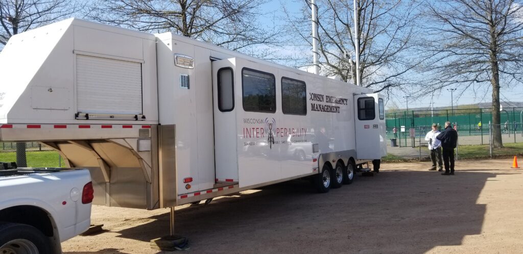
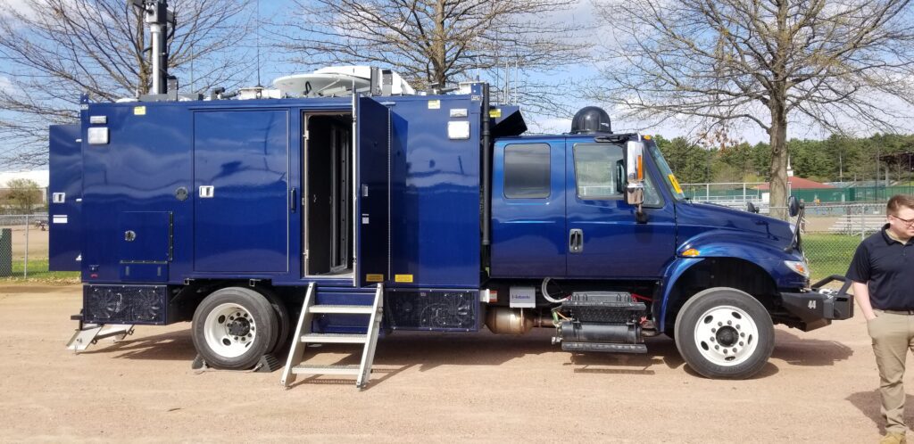
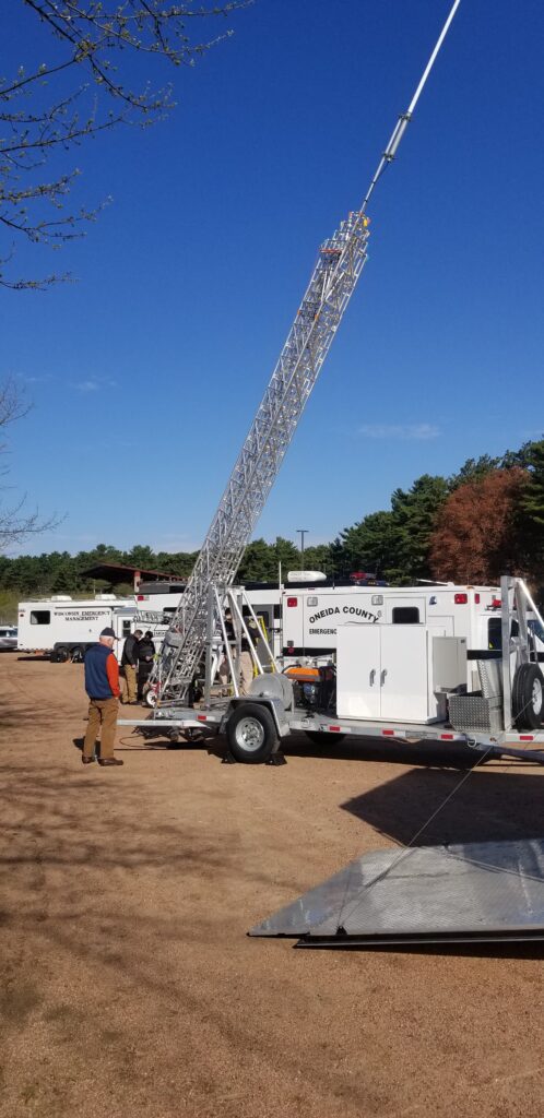
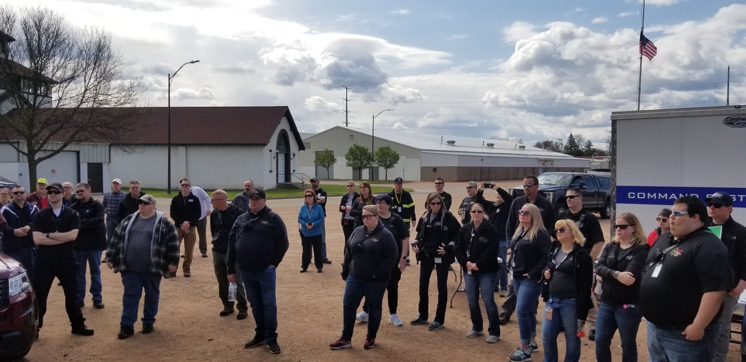
The counties of northeastern Wisconsin have a long history of working cooperatively to address the public safety needs of the area. This latest effort, called the North East Wisconsin Public Safety COMmunications or NEWCOM, will create a group that will identify the communication needs for the area, so the 500 plus law enforcement and public safety organizations can communicate effectively throughout the Region.
The group formed under Intergovernmental Agreement §66.0301, Wis. Stats in 2006
Meetings 2025
February 6th
May 1st
August 7th
November 6th
Sherri Congleton | Vilas County | Chair |
Ryan Berdal | Marathon County | Vice-Chair |
Rozanne Kahan | Price County | Secretary- Treasurer |
Andy Faust | NCWRPC | NEWCOM Contact |
Census
Grants
COVID-19
Transportation Planning
The NCWRPC assists local governments in the preparation of local road improvement programs. These road plans provide a capital improvement schedule for upgrading local roads and help local units obtain LRIP funding for road reconstruction projects. Pavement rating and other assistance with the WISLR program is also available.
In addition, the NCWRPC conducts specialized transportation studies including Safe Routes To School plans, bicycle and pedestrian system plans, traffic counts, and others.
What Types of Services are Provided?
Local Road Improvement Programs
· Counties
· Cities
· Villages
· Towns
WISLR Assistance
Road Rating Assistance and Training
Safe Routes to School Planning and Assistance
Bicycle Facilities Planning
WisDOT Traffic Count Data
Access Management Studies
Alternative Route Studies
Corridor Studies
License Plate Surveys
Parking Surveys and Studies
Specialized Studies and Surveys
Identifying Sources of Assistance
Preparing Grant Applications for Federal/State Programs
Transportation and Land Use Planning:
The NCWRPC provides professional planning assistance in the areas of land use management and policy development, zoning, subdivision and other regulations, as they relate to transportation systems.
Because of the close relationship between land use and transportation, the transportation planning process involves the planning of land uses as well as transportation systems and facilities.
Specialized Studies:
NCWRPC Staff assists local units of government to identify transportation problems and develop viable solutions. Services can range from preparing a study or plan to securing financing for community projects to drafting an ordinance.
Title VI Notice
Non-Discrimination Policy Statement
The NCWRPC operates its programs and services without regard to race, color, age, sex, disability, low income, limited English proficiency, and national origin in accordance with the Title VI of the Civil Rights Act.
Contact Darryl Landeau, Transportation Planner, 715-849-5510, dlandeau@ncwrpc.org with any questions.
North Central WI Regional Planning Commission (NCWRPC)
Title VI and Non-Discrimination Program / Limited English Proficiency Plan
If information is needed in another language, contact 715-849-5510.
Si se necesita informacion en otro idioma de contacto, 715-849-5510.
Yog tias cov ntaub ntawv uas yuav tsum tau ua lwm hom lus, hu rau, 715-849-5510.
Title VI Complaint and Comment Form
Land Use Planning – Comprehensive Planning
NCWRPC is responsible for the development of a regional comprehensive plan for the ten-county Region. The Regional Comprehensive Plan was adopted in 2004, the first regional comprehensive plan in the state under the new planning law, and was last updated in 2015. The mid-plan review of that document will be developed in 2020. NCWRPC also prepares other regionally focused plans from time to time.
What Types of Plans can be Provided?
Comprehensive Plans
Specialized Land Use Plans
Park & Outdoor Recreation Plans
Zoning Ordinances and Subdivision Regulations
Sewer Service Area Planning
Wellhead Protection Planning
All Hazard Mitigation Plans
Farmland Preservation Plans
Land & Water Resource Management Plans
Downtown Development Plans
Capital Improvements Programming
Grant Applications for Federal/State Programs
Land Use Planning & Zoning:
The NCWRPC provides professional assistance in the areas of land use policy and management. The planning process is adapted to each community. GIS technology is used to create maps that aid in the visualization of plan outcomes. A range of zoning assistance is available from updating an existing ordinance to drafting a new ordinance tailored to your specific needs.
Community Technical Assistance:
NCWRPC Staff assists local units of government in identifying problems and developing viable solutions. Services can range from preparing a study or plan to securing financing for community projects or to drafting ordinances.
Grant Writing & Administration:
The NCWRPC provides assistance to member counties by both writing and administering various grants. Common grant applications include EDA, USDA, and Wisconsin Department of Commerce CDBG grants.
Intergovernmental Cooperation
The NCWRPC is available to conduct specialized studies on request. In the past, the NCWRPC has completed studies such as merging ambulance services, community consolidation studies, economic impact analysis, and a juvenile detention study.
In addition, the NCWRPC serves as the Regional Clearinghouse and reviews all applications for federal and state assistance throughout the ten-county region for their compatibility with existing plans and programs in the area.
Framework for Regional Development:
The Framework is the NCWRPC’s master plan for the physical development of the Region. This plan creates a framework for consistency and coordination in the preparation of county & local landuse plans.
Forum for Exchange:
The NCWRPC acts as a forum through which different counties and municipalities can communicate with each other about common problems and issues that cross borders. The NCWRPC is designated as an economic development district by the U.S. Economic Development Administration and as a rural transportation planning organization by WisDOT to coordinate economic development and transportation strategies on a regional basis with cooperative efforts to solve local problems.
Intergovernmental Agreements:
The NCWRPC can assist in the development of intergovernmental agreements including cooperative boundary agreements and planning. Intergovernmental agreements can be as simple as agreeing to conduct joint plan commission meetings, share police and fire services, or as complex as tax revenue sharing, and redefining municipal boundaries. Two basic types of agreements are authorized under s.66.023 & s.66.30 WI Stats. Other specialized agreements are possible under a variety of specific statutes.
Cooperative Boundary Agreements – 66.023
The agreement may change boundaries pursuant to an order by the WisDOA. The change is based on a detailed plan. The statute allows the incorporation of a wide variety of other planning tools. These agreements provide flexibility for annexation, zoning, revenue sharing and other inter-municipal activities.
General Agreements – 66.30
A contract between municipal entities to set boundaries or other shared municipal services. Boundaries are set and the parties either commit to maintain them or to allow growth to some ultimate boundary. Agreements may also contain provisions for revenue sharing.
Title | Location | Date | hf:categories |
---|---|---|---|
Take the Broadband Speed Test | Statewide | April 3, 2023 | statewide |
Wisconsin Regional Orthoimagery Consortium (WROC) | Adams, Affiliated, Forest, Juneau, Langlade, Lincoln, Marathon, Multi-County, Oneida, Portage, Regional, Statewide, Vilas, Wood | November 29, 2021 | adams affiliated forest juneau langlade lincoln marathon multi-county oneida portage regional statewide vilas wood |
NCWSC | Affiliated, Multi-County, Regional | January 8, 2021 | affiliated multi-county regional |
NEWCOM | Affiliated, Forest, Langlade, Lincoln, Marathon, Multi-County, Oneida, Portage, Regional, Vilas, Wood | January 8, 2021 | affiliated forest langlade lincoln marathon multi-county oneida portage regional vilas wood |
NRTC | Affiliated, Multi-County, Regional | December 29, 2020 | affiliated multi-county regional |
AWRPC | Affiliated, Multi-County, Regional | December 1, 2020 | affiliated multi-county regional |
NRTC | Multi-County | November 30, 2020 | multi-county |
Adams County Strategic Plan | Adams | October 1, 2019 | adams |
Adams-Juneau Flood Resiliency Study | Adams, Juneau | December 1, 2018 | adams juneau |
Wisconsin Regional Planning Commissions – 2013 Profile | Multi-County, Regional | January 1, 2013 | multi-county regional |
Long-Term Power Outage Preparedness in Wisconsin | Statewide | October 1, 2010 | statewide |
Geographic Information System (GIS)
The NCWRPC has available a variety of graphic and mapping products, from aerial photos to wetland maps. We assist communities with Land Records Modernization Plans, grant applications and RFP’s for GIS services. Custom data sets and maps are also available for communities.
In addition, the NCWRPC maintains a wide array of data that is available upon request. Some of the data includes: U.S. Census (1980 – 2010), Economic Census, Employment and Labor Information, and more.
Mapping and GIS:
NCWRPC has available a variety of graphic and mapping products, from aerial photos to land use maps to wetland maps. In addition, we can create custom map products:
Parcel Mapping
Zoning Maps
Natural Features Maps
Address Maps
Land Use Mapping
ArcMap Projects
A Resource Center for The Region:
Census Data 1980 – 2020
Wisconsin Data Center Affiliate Organization
Census Tract Maps
Planning Library
Aerial Photos of the Region
Wetland Maps
Land Use Data
Historical Data and Maps
Technical Services for the Region
GIS Software:
ArcInfo
ArcMap
ArcGIS Pro
Data Center:
NCWRPC maintains a wide array of data that is available upon request. Some of the data includes: U.S. Census (1980-2020), Economic Census, Employment and Labor Information, and more.
Specialized Services:
NCWRPC is available to conduct specialized services on request:
Computer Equipment Purchases Review
Software Support
Web Page Design
Database Management
Survey Analysis & Design
Who are these Services provided for?
NCWRPC serves the ten counties and the local governments within our region. These services are provided to NCWRPC members. NCWRPC has also contracted with other public and private sector agencies to provide assistance as requested.
Title | Location | Date | hf:categories |
---|---|---|---|
Village of Athens Zoning Map | Marathon | October 4, 2024 | marathon |
Great Pinery Heritage Waterway | Regional | December 1, 2022 | regional |
Oneida County Online Mapping Records | Oneida | January 1, 2022 | oneida |
Forest County Building Mapping | Forest | December 14, 2021 | forest |
Forest County Hydro Mapping | Forest | December 14, 2021 | forest |
Wisconsin Regional Orthoimagery Consortium (WROC) | Adams, Affiliated, Forest, Juneau, Langlade, Lincoln, Marathon, Multi-County, Oneida, Portage, Regional, Statewide, Vilas, Wood | November 29, 2021 | adams affiliated forest juneau langlade lincoln marathon multi-county oneida portage regional statewide vilas wood |
Forest County Parcel Mapping | Forest | January 8, 2021 | forest |