Part I of the Forest County All Hazards Mitigation Plan (AHMP) Update describes and documents the process used to develop the Plan Update. This includes how it was prepared and who (committee, organizations, departments, staff, consultants, etc.) was involved in the update process. It also describes the local governments involvement, the time period in which the update was prepared, and who to contact to answer questions and make recommendations for future amendments to the Plan.
Forest County Outdoor Recreation Plan 2027-2031
Forest County’s Forestry & Recreation Department updates its Outdoor Recreation Plan every 5 years to identify essential outdoor recreation needs that affect the future of outdoor recreation in the County.
This Outdoor Recreation Plan (ORP) focuses upon County managed outdoor recreation facilities, and also list projects within the towns and City. Local governments with their own ORP are referenced in this plan. All listed nature based and active recreation based projects become eligible for competitive federal and state outdoor recreation grant money when this plan is adopted by County or local municipality by resolution.
All communities within Forest County without their own Outdoor Recreation Plan become eligible to apply for recreation grants when the County adopts this plan by resolution.
Non-profit groups, foundations, and the general public may also use this document to coordinate their own private efforts for developing outdoor recreation facilities.
2026 Planning Timeline
Winter 2025-2026 — Staff park analysis, plans reviewed, & demographic data analysis.
Winter/Spring 2026 — Countywide Public Input Survey distribution & tabulation.
Spring 2026 — Goals & Objectives developed.
Summer 2026 — Draft Plan ready for review.
Summer/Fall 2026 — Plan ready for approval by Forest County Forestry & Recreation Committee.
Fall 2026 — Plan ready for adoption by County Board.
Draft Plan
______plan not available yet_________ (__ MB PDF)
.
.
Make questions or comments about the planning here.
(Email link to submit comments on this plan.)
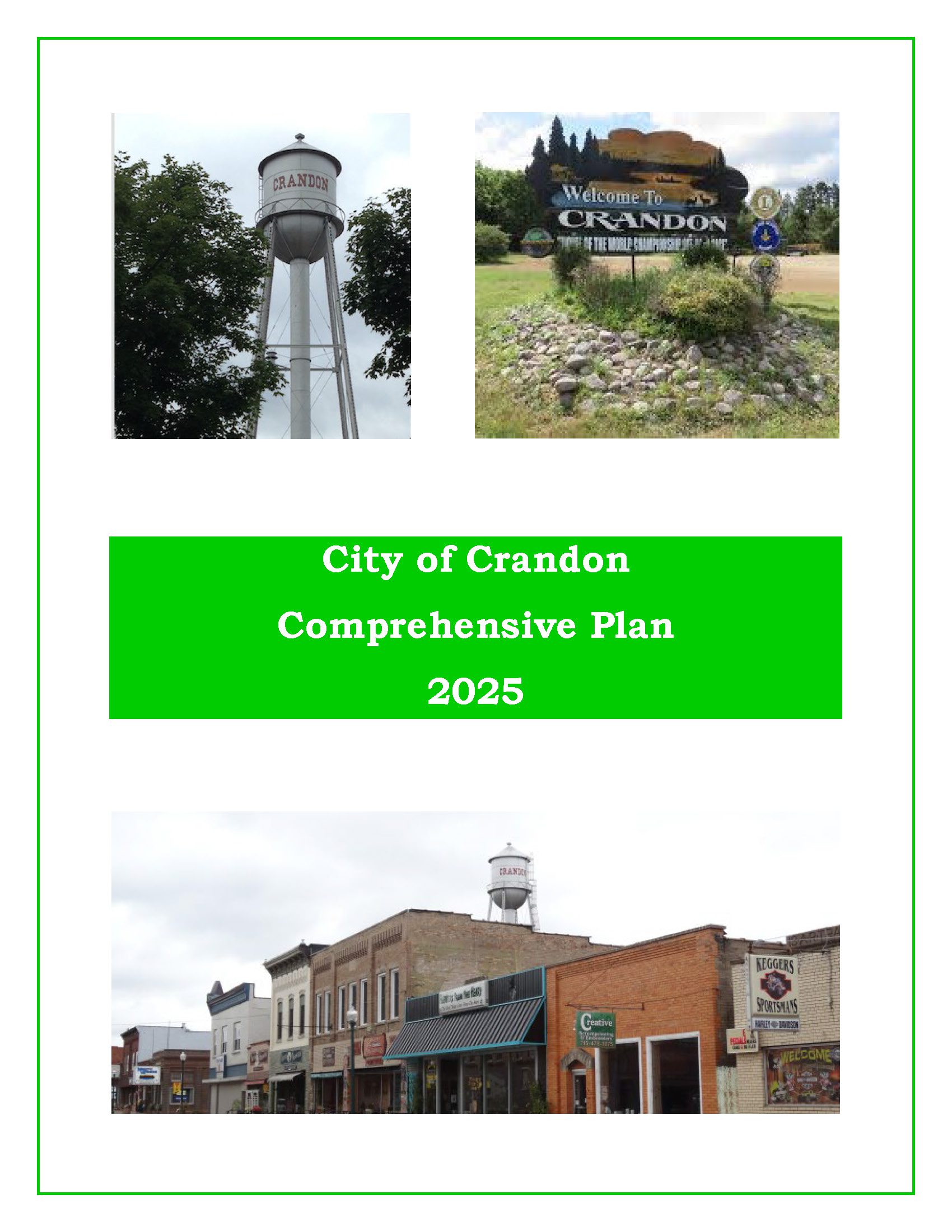
City of Crandon Comprehensive Plan – 2025
The purpose of a Comprehensive Plan is to guide future growth and development in the City over the next 10 to 20 years. A comprehensive plan provides the vision and direction for natural resource protection, housing and economic development, transportation and community facilities, land use, intergovernmental relations, and other factors that together form the community’s future. Comprehensive planning was enacted to encourage long-range planning for communities and provide consistency in land use decision making. The Comprehensive Plan is a guide that elected officials, residents, and business owners can use for directing growth and redevelopment in the community. The Comprehensive Plan is a long-range policy document consisting of goals, objectives, and policies prepared to meet the State’s definition of a comprehensive plan as defined under Section 66.1001.
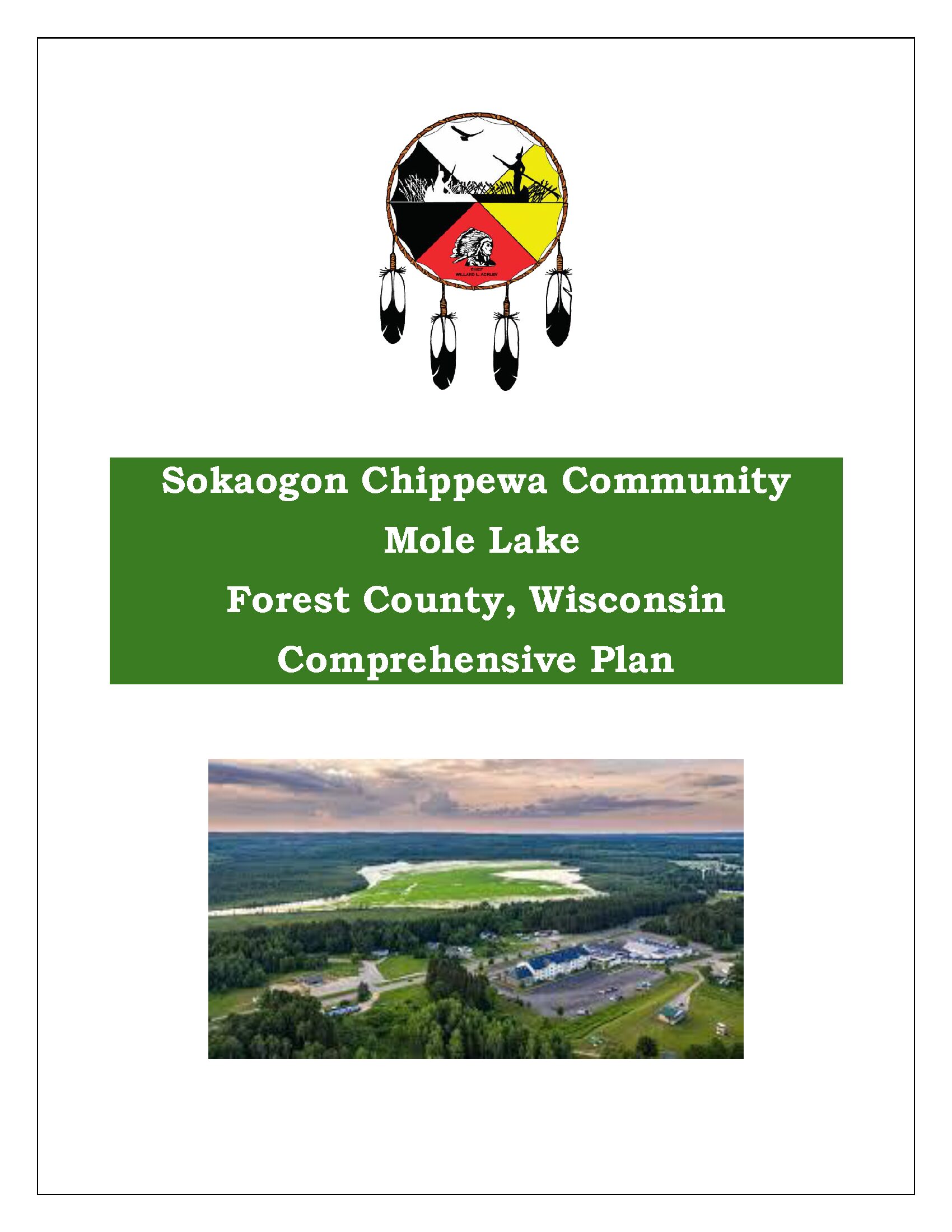
Sokaogon Chippewa Community Comprehensive Plan – 2024
The Sokaogon Chippewa Community is a sovereign nation chartered by the Bureau of Indian Affairs, and is recognized federally as a Native American Tribal Nation and operates under a ratified constitution. The Sokaogon Chippewa Community tribal lands are located in the Town of Nashville in Forest County. The Town of Nashville is a double township offset from each other. The Mole Lake reservation is located in the northern section of Nashville, which occupies the southwest corner of Forest County, Wisconsin. The City of Crandon lies kitty-corner, north and east, of the Town.
EMSI Reports – Economy Overview
We have been creating economy overviews for all ten of our counties along with Centergy and Grow North regions. We have reports from 2018 to 2024 – More information is about EMSI reports HERE. We also have historic reports back to 2013 if you are intrerested.
Forest County Comprehensive Plan 2024
A comprehensive plan is a local government’s guide to community physical, social, and economic development. Comprehensive plans are not meant to serve as land use regulations in themselves; instead, they provide a rational basis for local land use decisions with a twenty-year vision for future planning and community decisions.
The comprehensive plan law (§66.1001 WI Stats. Adobe PDF 113 KB) defines the contents of a local comprehensive plan as a combination of nine chapters—Issues & Opportunities; Natural, Cultural, & Agricultural Resources; Housing; Transportation; Economic Development; Land Use; Utilities & Community Facilities; Intergovernmental Cooperation; and Implementation.
According to §66.1001 WI Stats., if a town, village, city, or county engages in official mapping, subdivision regulation, or zoning, those actions must be consistent with that community’s comprehensive plan. This plan is an update of the 2011 Comprehensive Plan adopted by the county.
Mole Lake All Hazards Mitigation Plan 2024
Tribes are required to make mitigation plans as a result of the federal Disaster Mitigation Act of 2000 (DMA2K). This Act put a national priority on hazard mitigation by requiring mitigation plans in order to be eligible for disaster mitigation grant programs from FEMA. Mole Lake has developed a plan to meet these requirements and maintain mitigation grant eligibility. This in no way obligates or commits the tribe or any local jurisdiction.
The plan is intended to assist in the reduction or elimination of long-term risk to people and property from natural disasters. Hazards covered in the plan include flooding, tornadoes, temperature extremes, wildfire and others.
Make comments about the plan here.
(Email link to submit comments on this plan.)
Forest County Economic Profile 2024
Every few years, NCWRPC updates basic demographic and economic development information in the form of County Profiles, which provide a snapshot of current economic trends and opportunities for economic growth. Included is a map of business park locations where acreage is available as well as contacts for various economic development agencies and programs.
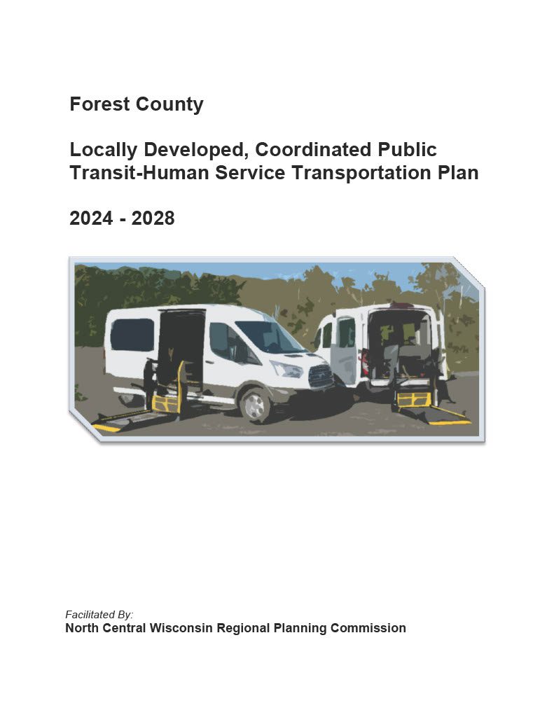
Forest County Locally Developed, Coordinated Public Transit-Human Service Transportation Plan 2024-2028
Federal transit law requires that any projects selected for funding under the Section 5310 Enhanced Mobility of Seniors and Individuals with Disabilities (formerly titled Elderly and Disabled Capital Assistance Program) must be derived from a “locally developed, coordinated public transit-human services transportation plan”. This requirement was implemented as part of the SAFETEA-LU legislation and the requirement continues under the new transportation legislation, FAST Act (Fixing America’s Surface Transportation). The purpose of the coordinated planning process is to have stakeholder involvement in the assessment of elderly and disabled transportation, and to provide strategies and goals to improve those transportation alternatives. These coordinated plans were last completed in 2019 and are due to be updated for 2023.
Forest County Economic Profile 2022
Every few years, NCWRPC updates basic demographic and economic development information in the form of County Profiles, which provide a snapshot of current economic trends and opportunities for economic growth. Included is a map of business park locations where acreage is available as well as contacts for various economic development agencies and programs.