Adams County All Hazards Mitigation Plan (AHMP) Update describes and documents the process used to develop the plan update. This includes how it was prepared and who (committee, organizations, departments, staff, consultants, etc.) was involved in the update process. It also describes the local government involvement, the time period in which the update was prepared, and who to contact to answer questions and make recommendations for future amendments to the plan.
Adams County Economic Development Strategy 2026
The Adams County Economic Development Strategy was prepared for the County’s official economic development organization – Adams County Economic Development (ACED) – and is intended to act as a guide for economic development efforts within Adams County.
The Strategic Plan strives to:
- Provide an economic context of the County.
- Review socio-economic trends throughout the County that are important to understand the County’s strengths, weaknesses, issues, and opportunities.
- Analyze past and current economic data, as well as projections, for the County to identify it’s economic strengths, weaknesses, and opportunities.
- Identify and describe the County’s existing infrastructure.
- Develop a set of strategies to help guide economic efforts within the County.
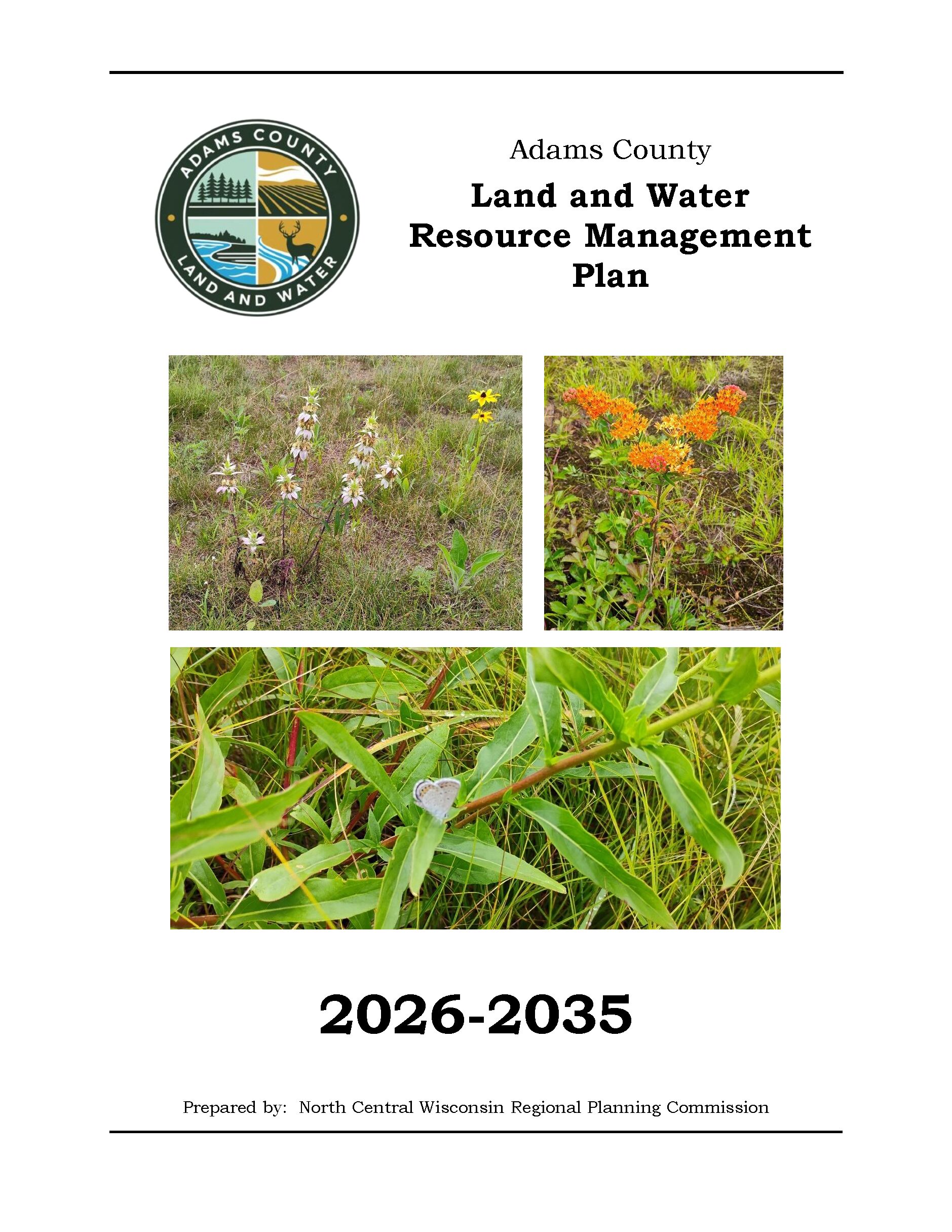
Adams County Land and Water Resource Management Plan 2026-2035
The Adams County Land and Water Resource Management (LWRM) plan was developed to assist the county in managing and protecting the land and water resources throughout Adams County.
At the root of the county Land and Water Resource Management (LWRM) plan concept is the cooperation and coordination of all agencies and groups within the county that have a role in land and water resource management. This plan coordinates everyone’s efforts, and focuses on how the County’s Land and Water Conservation Department will work with the other agencies.
Land and Water Resource Management (LWRM) Plans provide counties an opportunity to explain how they will meet the state performance standards and prohibitions (NR 151 and ATCP 50) to reduce runoff and protect water quality, as well as address other local land and water resource management concerns. The LWRM Plan provides the counties with the ability to develop local strategies to address the concerns; budget the limited staff and cost share dollars toward these concerns; provide for integration of programs and funding from all sources; and develop a variety of implementation tools.
2025 Planning Timeline
Winter 2024-2025 — Resource Advisory Committee assembled.
Spring 2025 — Resource Advisory Committee met and identified countywide natural resource issues.
Summer 2025 — Goals & Objectives developed, and Draft Plan developed.
Summer/Fall 2025 — Plan ready for DATCP review.
Fall 2025 — Plan ready for review and revision by Adams County Land & Water and UW Extension Committee.
Fall 2025 — Public Hearing held.
Fall 2025 — Plan ready for approval by Adams County Land & Water and UW Extension Committee.
December 2, 2025 — Plan presented to Land and Water Conservation Board for approval.
Fall/Winter 2025 — Plan ready for adoption by County Board.
.
Centergy Regional Housing Study 2025
In 2025, Centergy, Inc. worked with the North Central Wisconsin Regional Planning Commission (NCWRPC) to produce this study in response to growing concerns over housing affordability. This study recommends a variety of strategies and programs that each individual community may explore depending on their own needs to encourage the construction and rehabilitation of needed housing, along with recommendations for a possible Regional Housing Fund. The Centergy Region includes Adams, Lincoln, Marathon, Portage, and Wood Counties.
Adams County Housing Study 2025
In 2024, Adams County Economic Development (ACED), in partnership with the Adams County Housing Committee and the United States Department of Agriculture (USDA) Rural Partners Network (RPN) worked with the North Central Wisconsin Regional Planning Commission (NCWRPC) to produce this study in response to growing concerns over housing affordability. The Local Initiatives Support Coalition (LISC) and Wisconsin Economic Development Corporation (WEDC) soon partnered with ACED and Adams County to further enhance this project.
This project consisted of robust data collection, public surveys, public open houses, and stakeholder interviews to understand which housing types are highest in demand, and what barriers prevent an adequate supply of desired housing. This study recommends a variety of strategies and programs that each individual community may explore depending on their own needs to encourage the construction and rehabilitation of needed housing.
EMSI Reports – Economy Overview
We have been creating economy overviews for all ten of our counties along with Centergy and Grow North regions. We have reports from 2018 to 2024 – More information is about EMSI reports HERE. We also have historic reports back to 2013 if you are intrerested.
Adams County Economic Profile 2024
Every few years, NCWRPC updates basic demographic and economic development information in the form of County Profiles, which provide a snapshot of current economic trends and opportunities for economic growth. Included is a map of business park locations where acreage is available as well as contacts for various economic development agencies and programs.
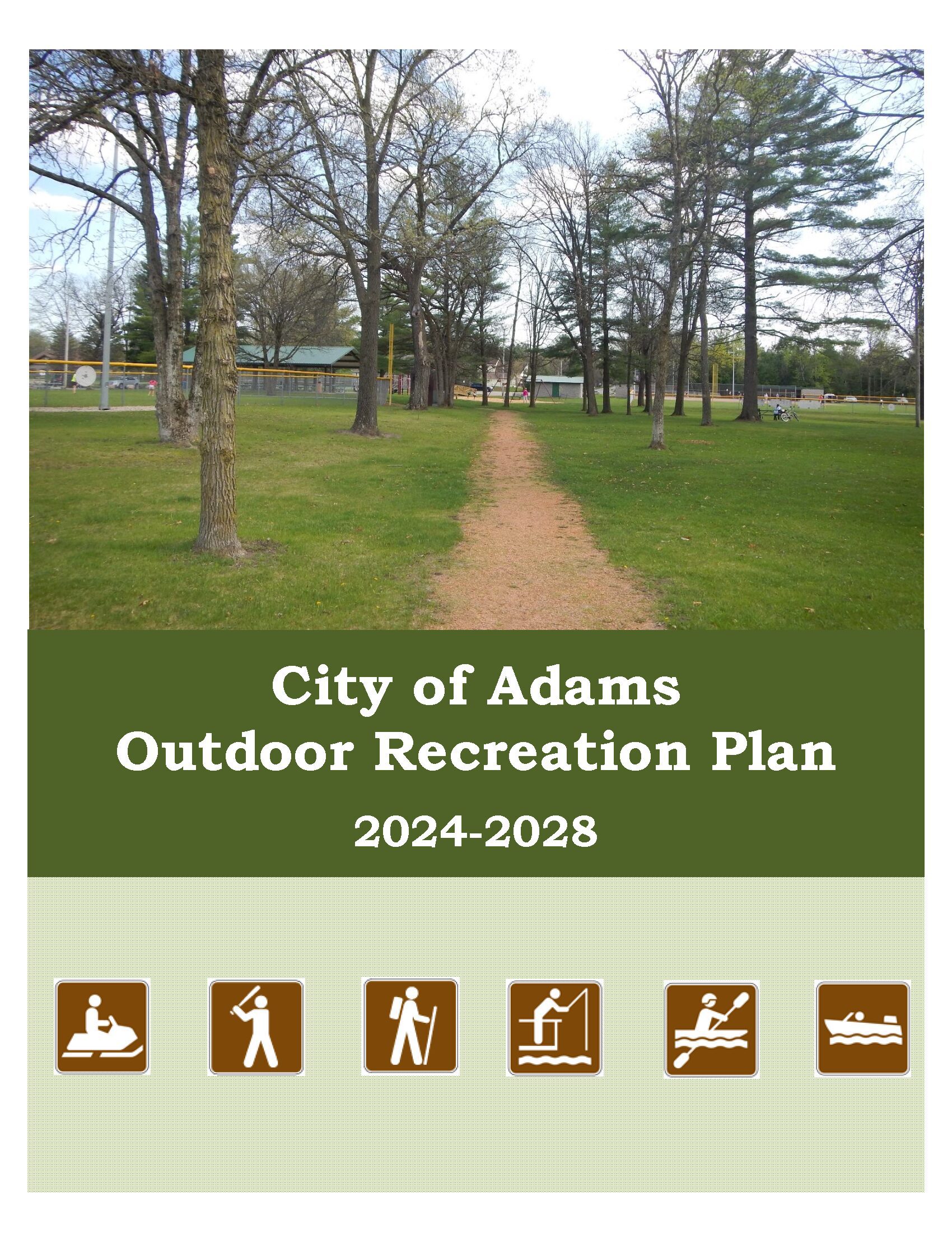
City of Adams Outdoor Recreation Plan 2024-2028
The primary purpose of this outdoor recreation plan is to provide continued direction toward meeting the current and future recreation needs of the City of Adams.
Adoption of this plan by the Adams City Council and subsequent acceptance by the Wisconsin Department of Natural Resources (WDNR) will continue the City’s eligibility for Land and Water Conservation Fund (LAWCON), and Stewardship Fund money.
Non-profit groups, foundations, and the general public may also use this document to coordinate their own private efforts for developing outdoor recreation facilities.
Adams County Locally Developed, Coordinated Public Transit-Human Service Transportation Plan 2024-2028
Federal transit law requires that any projects selected for funding under the Section 5310 Enhanced Mobility of Seniors and Individuals with Disabilities (formerly titled Elderly and Disabled Capital Assistance Program) must be derived from a “locally developed, coordinated public transit-human services transportation plan”. This requirement was implemented as part of the SAFETEA-LU legislation and the requirement continues under the new transportation legislation, FAST Act (Fixing America’s Surface Transportation). The purpose of the coordinated planning process is to have stakeholder involvement in the assessment of elderly and disabled transportation, and to provide strategies and goals to improve those transportation alternatives. These coordinated plans were last completed in 2019 and are due to be updated for 2023.
Adams County Broadband Plan
The broadband strategy presented at narrowing the digital divide in Adams County by enhancing broadband connectivity and accessibility. Additionally, this strategy will pinpoint obstacles and objectives related to expanding infrastructure and promoting broadband adoption. Consequently, Adams County will be in a stronger position to seek and, hopefully, secure BEAD funding for broadband deployment.