Providing Economic Development, Geographic Information Systems, Intergovernmental Cooperation, Land Use Planning and Transportation Assistance since 1973
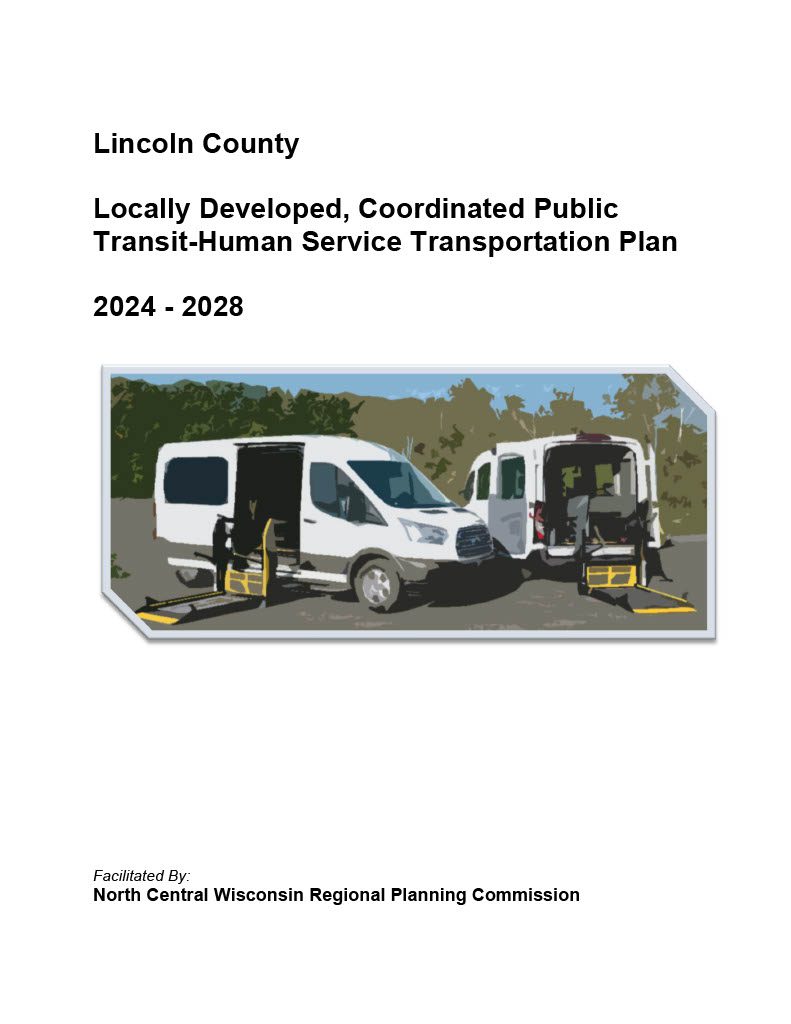
Federal transit law requires that any projects selected for funding under the Section 5310 Enhanced Mobility of Seniors and Individuals with Disabilities (formerly titled Elderly and Disabled Capital Assistance Program) must be derived from a “locally developed, coordinated public transit-human services transportation plan”. This requirement was implemented as part of the SAFETEA-LU legislation and the requirement continues under the new transportation legislation, FAST Act (Fixing America’s Surface Transportation). The purpose of the coordinated planning process is to have stakeholder involvement in the assessment of elderly and disabled transportation, and to provide strategies and goals to improve those transportation alternatives. These coordinated plans were last completed in 2019 and are due to be updated for 2023.
The primary purpose of this outdoor recreation plan is to provide continued direction toward meeting the current and future recreation needs of the City of Merrill.
Adoption of this plan by the Merrill City Council and subsequent acceptance by the Wisconsin Department of Natural Resources (WDNR) will continue the City’s eligibility for Land and Water Conservation Fund (LAWCON), and Stewardship Fund money.
Non-profit groups, foundations, and the general public may also use this document to coordinate their own private efforts for developing outdoor recreation facilities.
The primary emphasis of this plan is to develop a more bicycle and pedestrian friendly transportation system in the City of Tomahawk. Biking and walking are essential to maintaining and promoting the quality of life for residents and visitors of Tomahawk.
Every few years, NCWRPC updates basic demographic and economic development information in the form of County Profiles, which provide a snapshot of current economic trends and opportunities for economic growth. Included is a map of business park locations where acreage is available as well as contacts for various economic development agencies and programs.
Housing is a crucial component of livability and is critical for regional and local prosperity. Communities that can offer a variety of housing types that are affordable across a wide spectrum of income levels are significantly more capable of providing the conditions necessary to attract and retain residents of all life phases. Housing impacts more than just residents, as housing also impacts transportation, employment, economic development, land use patterns, and communities themselves. The connection between housing and work is a fundamental function of any transportation system, as many workers are required to travel to their jobs. This relationship between housing, employment, and transportation guides land use decisions, and fosters economic development and a sense of community within communities and the Region.
The Wisconsin Regional Orthoimagery Consortium (WROC) is a multi-entity group. The goal of the consortium is to build and sustain a multi-participant program to acquire digital orthoimagery and elevation data throughout Wisconsin. The WROC approach brings a number of potential benefits to participants including cost savings, specifications and standards support, customized datasets, data sharing between members and partners, and procurement support.
The next round of WROC is underway. North Central Wisconsin Regional Planning Commission (NCWRPC) will once again coordinate and lead the Consortium. In 2021, the RPC extended its agreement with Ayres Associates to facilitate the Consortium and provide geospatial services to its members and partners.
There will be options for participation in 2023, 2024, and 2025. A number of member counties will be going to a 3-year cycle starting in 2023. Another group of counties will fly in 2024.The largest group will participate again in 2025, keeping the consistency of the 5-year cycle. Member counties flying in 2023, 2024, and 2025 will be eligible for partner funding.
The aerial mapping services provided under WROC will continue to evolve to meet the needs of local government members and partner organizations. This will be achieved through a coordinated, county-by-county approach over the next three years, with participation peaking in 2025. Program representatives will work with all private, federal, and state partners to build the program into regional datasets. WROC has a stated goal of achieving statewide coverage by the end of 2025.
WROC representatives will be hosting meetings across the state to discuss the consortium approach and participation options for 2023-25. If you are interested in meeting, please contact program managers Andy Faust or Zach Nienow
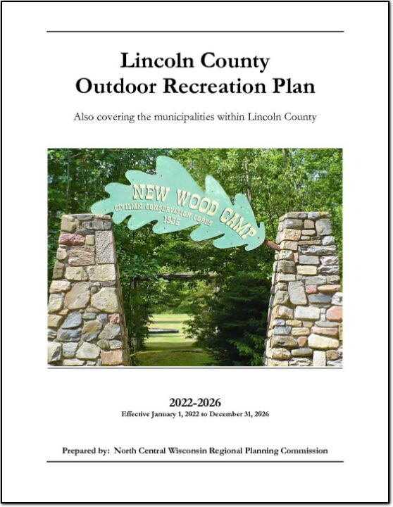
The primary purpose of this outdoor recreation plan is to provide continued direction toward meeting the current and future recreation needs of Lincoln County. This is accomplished through an inventory and analysis of outdoor recreational facilities, asking the public what they are looking for, and the establishment of recommendations to meet identified needs.