Providing Economic Development, Geographic Information Systems, Intergovernmental Cooperation, Land Use Planning and Transportation Assistance since 1973
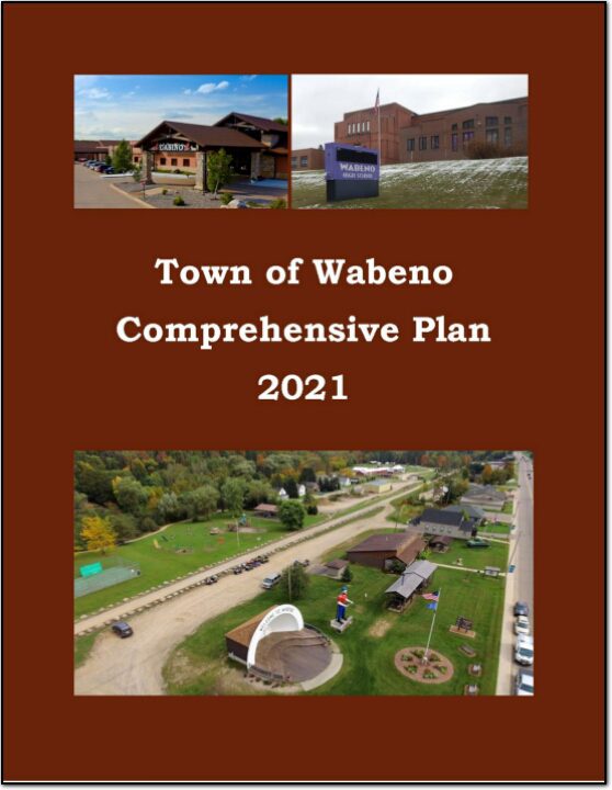
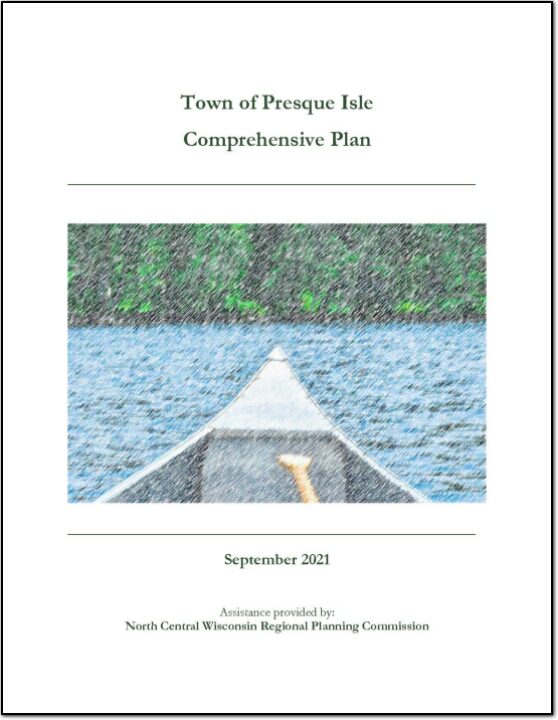
In the fall of 2020, the Town initiated a process to update its 2010 plan. The state planning law – 66.1001 – requires that a comprehensive plan be updated every ten years. A variety of Plan Commission meetings were held over the course of 2020 and 2021 to prepare the plan. A final Plan Commission meeting was held in early 2021 to review the final draft and recommend adoption of the plan by the Town Board.
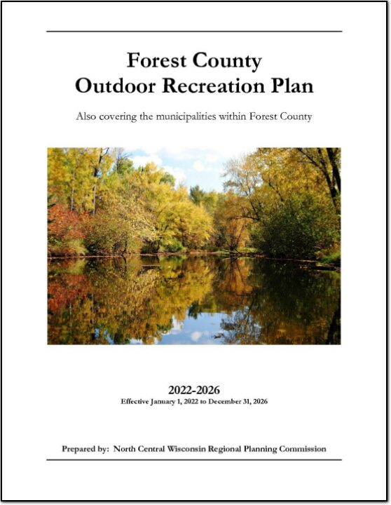
The primary purpose of this outdoor recreation plan is to provide continued direction toward meeting the current and future recreation needs of Forest County. This is accomplished through an inventory and analysis of outdoor recreational facilities, asking the public what they are looking for, and the establishment of recommendations to meet identified needs.
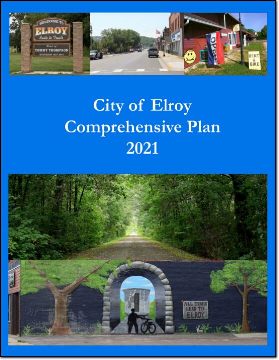
The City of Elroy Comprehensive Plan is intended to provide a guideline for development of the City. Local officials shall use this document when making land use decisions. Numerous reasons exist for developing a comprehensive plan: To both assist in identifying and qualify for funding opportunities To identify areas appropriate for development and preservation over the next 20 years; To recommend land uses in specific areas of the City; To establish community goals, objectives, and policies. This Comprehensive Plan was prepared to comply with the Comprehensive Plan State Statue 66.1001.
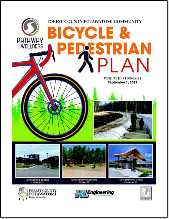
With assistance from a WisDOT planning grant, the Forest County Potawatomi Community (FCPC) was able to develop a comprehensive bicycle and pedestrian plan to enhance the viability of bicycling and walking as forms of transportation throughout the Forest County Potawatomi Community. The planning project occurred from October 2019 and continued into the Summer of 2021 with a signifi cant delay resulting from the COVID-19 pandemic. The process included data analysis, conceptual planning, public outreach, development of a preferred routing, and detailed cost estimating.
A primary reason for a community to prepare a comprehensive plan is to establish a framework for the future, especially as it relates to decisions regarding growth and regulation of development to protect and maintain the community’s health, safety, and welfare. A plan also helps to set priorities for public expenditures.
The primary purpose of this outdoor recreation plan is to provide continued direction toward meeting the current and future recreation needs of Langlade County. This is accomplished through an inventory and analysis of outdoor recreational facilities, asking the public what they are looking for, and the establishment of recommendations to meet identified needs.
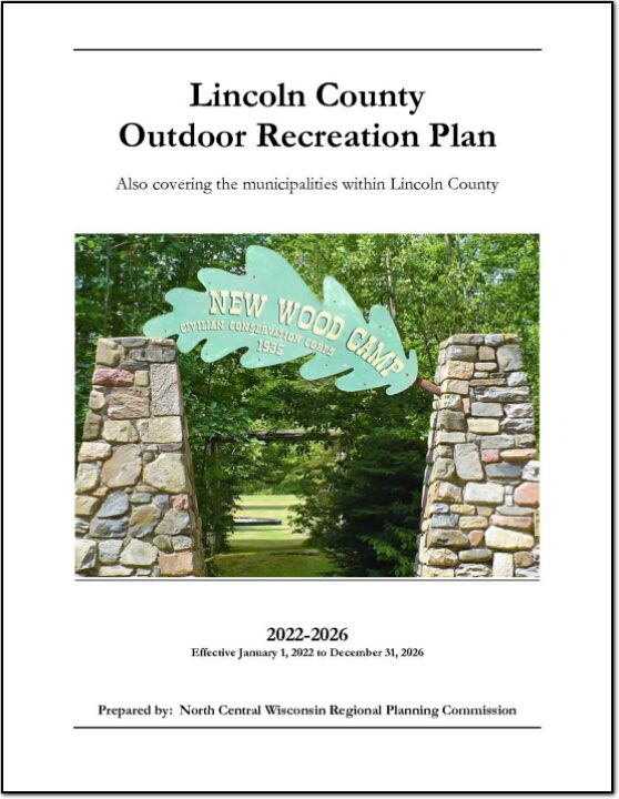
The primary purpose of this outdoor recreation plan is to provide continued direction toward meeting the current and future recreation needs of Lincoln County. This is accomplished through an inventory and analysis of outdoor recreational facilities, asking the public what they are looking for, and the establishment of recommendations to meet identified needs.
Safe Routes to School (SRTS) programs are an opportunity to make walking and bicycling to school safer for children in grades K-8, and to increase the number of children who choose to walk and bicycle. On a broader level, SRTS programs can enhance children’s health and well-being, ease traffic congestion near the school, and improve community members’ overall quality of life.
Planning Process In 2016, 10 school districts won a WisDOT SRTS planning grant as part of the Northcentral Wisconsin Regional SRTS Program, administered by NCWRPC.
In the fall of 2019-2020, the Lac du Flambeau School District, the Lac du Flambeau Tribe, and the Town of Lac du Flambeau began SRTS Planning with the assistance of the North Central Wisconsin Regional Planning Commission (NCWRPC). The NCWRPC will guide the Lac du Flambeau SRTS Task Force through the planning process.
The following school is part of SRTS planning: – Lac du Flambeau Elementary School (K-8).
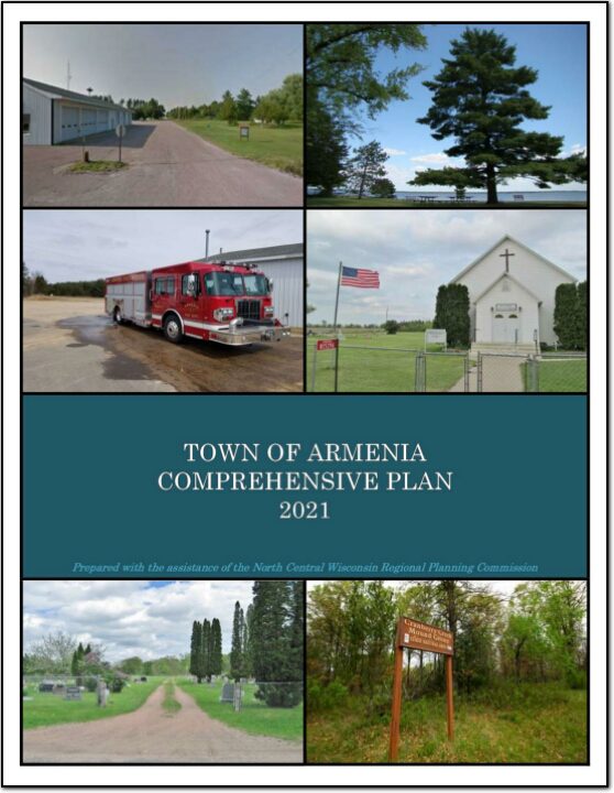
In the fall of 2020 the Town initiated a process to update its 2012 plan. The state planning law – 66.1001 – requires that a comprehensive plan be updated every ten years. A variety of Plan Commission meetings were held over the course of 2020 and 2021 to prepare the plan. A final Plan Commission meeting was held in early 2021 to review the final draft and recommend adoption of the plan by the Town Board.