Providing Economic Development, Geographic Information Systems, Intergovernmental Cooperation, Land Use Planning and Transportation Assistance since 1973
Housing is a crucial component of livability and is critical for regional and local prosperity. Communities that can offer a variety of housing types that are affordable across a wide spectrum of income levels are significantly more capable of providing the conditions necessary to attract and retain residents of all life phases. Housing impacts more than just residents, as housing also impacts transportation, employment, economic development, land use patterns, and communities themselves. The connection between housing and work is a fundamental function of any transportation system, as many workers are required to travel to their jobs. This relationship between housing, employment, and transportation guides land use decisions, and fosters economic development and a sense of community within communities and the Region.
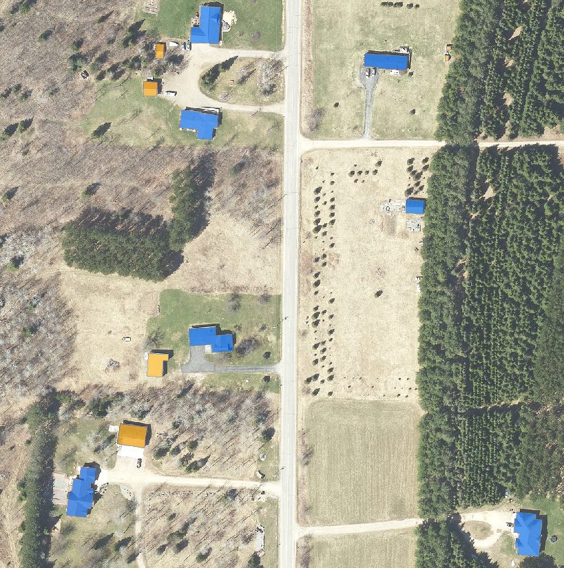
Delineation of building outlines from orthoimagery. Map all buildings from 2020 imagery to be used in county 911 system. Projected project completion June 2022.
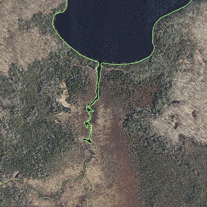
Enhance the Forest County GIS hydrology layer through the utilization of LiDAR and imagery data by the GIS team, ensuring the accurate update of stream and water body delineations. Anticipated project completion by June 2022.
The Wisconsin Regional Orthoimagery Consortium (WROC) is a multi-entity group. The goal of the consortium is to build and sustain a multi-participant program to acquire digital orthoimagery and elevation data throughout Wisconsin. The WROC approach brings a number of potential benefits to participants including cost savings, specifications and standards support, customized datasets, data sharing between members and partners, and procurement support.
The next round of WROC is underway. North Central Wisconsin Regional Planning Commission (NCWRPC) will once again coordinate and lead the Consortium. In 2021, the RPC extended its agreement with Ayres Associates to facilitate the Consortium and provide geospatial services to its members and partners.
There will be options for participation in 2023, 2024, and 2025. A number of member counties will be going to a 3-year cycle starting in 2023. Another group of counties will fly in 2024.The largest group will participate again in 2025, keeping the consistency of the 5-year cycle. Member counties flying in 2023, 2024, and 2025 will be eligible for partner funding.
The aerial mapping services provided under WROC will continue to evolve to meet the needs of local government members and partner organizations. This will be achieved through a coordinated, county-by-county approach over the next three years, with participation peaking in 2025. Program representatives will work with all private, federal, and state partners to build the program into regional datasets. WROC has a stated goal of achieving statewide coverage by the end of 2025.
WROC representatives will be hosting meetings across the state to discuss the consortium approach and participation options for 2023-25. If you are interested in meeting, please contact program managers Andy Faust or Zach Nienow
In the fall of 2020, the Town initiated a process to update its 2010 plan. The state planning law – 66.1001 – requires that a comprehensive plan be updated every ten years. A variety of Plan Commission meetings were held over the course of 2020 and 2021 to prepare the plan. A final Plan Commission meeting was held in early 2021 to review the final draft and recommend adoption of the plan by the Town Board.
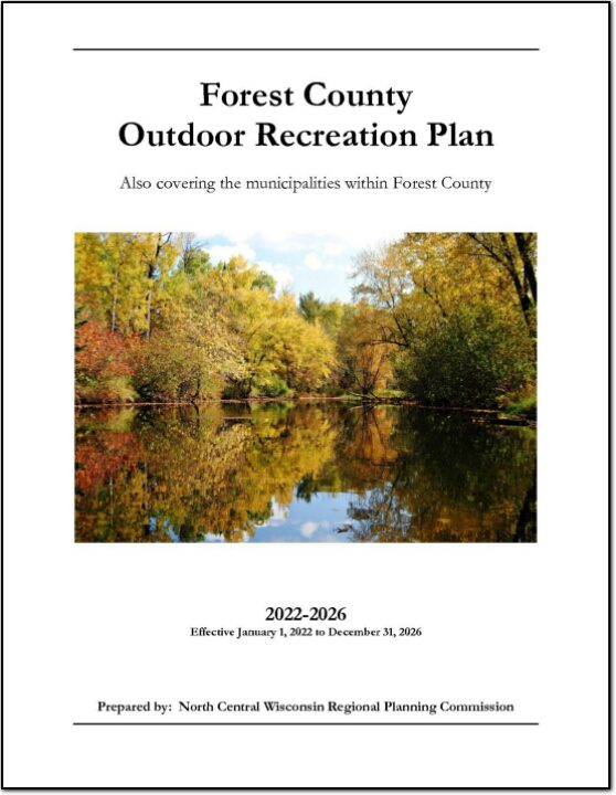
The primary purpose of this outdoor recreation plan is to provide continued direction toward meeting the current and future recreation needs of Forest County. This is accomplished through an inventory and analysis of outdoor recreational facilities, asking the public what they are looking for, and the establishment of recommendations to meet identified needs.
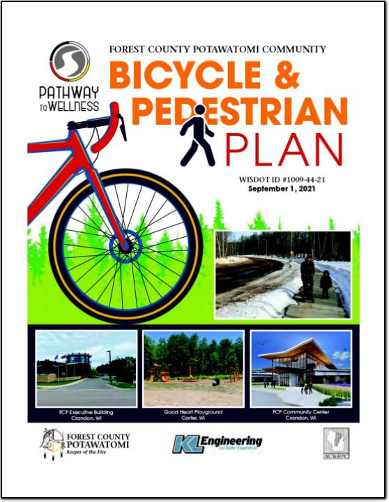
With assistance from a WisDOT planning grant, the Forest County Potawatomi Community (FCPC) was able to develop a comprehensive bicycle and pedestrian plan to enhance the viability of bicycling and walking as forms of transportation throughout the Forest County Potawatomi Community. The planning project occurred from October 2019 and continued into the Summer of 2021 with a signifi cant delay resulting from the COVID-19 pandemic. The process included data analysis, conceptual planning, public outreach, development of a preferred routing, and detailed cost estimating.
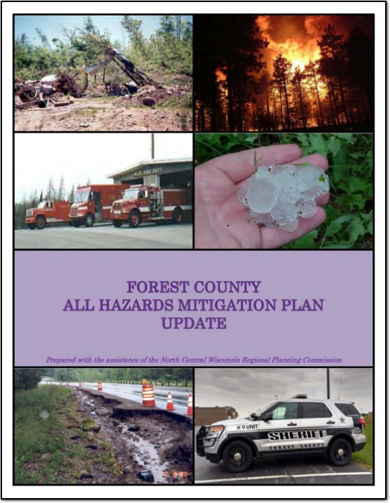
Part I of the Forest County All Hazards Mitigation Plan (AHMP) Update describes and documents the process used to develop the Plan Update. This includes how it was prepared and who (committee, organizations, departments, staff, consultants, etc.) was involved in the update process. It also describes the local governments involvement, the time period in which the update was prepared, and who to contact to answer questions and make recommendations for future amendments to the Plan.
Forest County is a county located in northernf Wisconsin. As of the 2020 census, the population was 9,179. The county seat is Crandon. Forest County was created in 1885 and is named after the heavily forested terrain within its borders. The county is known for its many lakes, forests and outdoor recreational opportunities. The Chequamegon-Nicolet National Forest covers a large portion of the county. The county is mostly rural with forestry and tourism being the main industries.