Juneau County All Hazards Mitigation Plan (AHMP) Update describes and documents the process used to develop the plan update. This includes how it was prepared and who (committee, organizations, departments, staff, consultants, etc.) was involved in the update process. It also describes the local government involvement, the time period in which the update was prepared, and who to contact to answer questions and make recommendations for future amendments to the plan.
Mole Lake All Hazards Mitigation Plan 2024
Tribes are required to make mitigation plans as a result of the federal Disaster Mitigation Act of 2000 (DMA2K). This Act put a national priority on hazard mitigation by requiring mitigation plans in order to be eligible for disaster mitigation grant programs from FEMA. Mole Lake has developed a plan to meet these requirements and maintain mitigation grant eligibility. This in no way obligates or commits the tribe or any local jurisdiction.
The plan is intended to assist in the reduction or elimination of long-term risk to people and property from natural disasters. Hazards covered in the plan include flooding, tornadoes, temperature extremes, wildfire and others.
Make comments about the plan here.
(Email link to submit comments on this plan.)
Marathon County Locally Developed, Coordinated Public Transit-Human Service Transportation Plan 2024-2028
Federal transit law requires that any projects selected for funding under the Section 5310 Enhanced Mobility of Seniors and Individuals with Disabilities (formerly titled Elderly and Disabled Capital Assistance Program) must be derived from a “locally developed, coordinated public transit-human services transportation plan”. This requirement was implemented as part of the SAFETEA-LU legislation and the requirement continues under the new transportation legislation, FAST Act (Fixing America’s Surface Transportation). The purpose of the coordinated planning process is to have stakeholder involvement in the assessment of elderly and disabled transportation, and to provide strategies and goals to improve those transportation alternatives. These coordinated plans were last completed in 2019 and are due to be updated for 2023.
Lincoln County All Hazards Mitigation Plan Update 2023
Lincoln County All Hazards Mitigation Plan (AHMP) Update describes and documents the process used to develop the plan update. This includes how it was prepared and who (committee, organizations, departments, staff, consultants, etc.) was involved in the update process. It also describes the local government involvement, the time period in which the update was prepared, and who to contact to answer questions and make recommendations for future amendments to the plan.

Wood County Bicycle and Pedestrian Plan 2023
The Wood County Ad Hoc Bike & Pedestrian Committee is overseeing the development of the Wood County Bike & Pedestrian Plan.
See below for historical plan and meeting information:
1995 Wood County Bike & Pedestrian Plan
Draft Plan Maps
Map 1—Existing Facilities
Map 2—ATV Routes & Trails
Map 3—Snowmobile Trails
Map 4—Traffic Counts
Map 5—Bike Suitability
Map 6—Functional Classification
Map 7—Crash Data
Interactive Map
Please identify important routes, propose new routes, locate areas of concerns, and show us destinations which you like to walk or bike to.
Interactive Map
The development of the Wood County Bicycle & Pedestrian Plan will involve many people including an advisory group. This bicycle planning document is intended to help local governments, non-profits, businesses, and individuals improve walking and bicycling within Wood County.
The Wisconsin Department of Transportation (WisDOT) encourages planning for bicyclists at the local level. Guidelines for accommodating travel by bicycles when roadways are reconstructed, or new roads are built, are available and their use is encouraged by WisDOT. When this plan is adopted, then road improvement grants (up to 80% state funds & 20% local funds) become available for local governments to competitively apply for.
The Wood County Bicycle & Pedestrian Plan includes:
An inventory of bicycling conditions and sidewalks, bicycle and pedestrian crashes with vehicles, and bicycle and pedestrian use areas. Researching where crashes occurred will show where some problem areas exist. Other problem locations will be found through analysis of the bicycling conditions on each major road.
Locations of potential bicycle routes and recommendations for roadway improvements. Maps will show where people are riding and where they plan to ride when it is safer to do so. Recommendation may include bicycle lanes in high traffic areas, and possibly no change along roads used more by bicyclists than vehicles (e.g. low volume roads).
Recommend solutions. The plan will include a combination of education, encouragement, engineering, and enforcement strategies to increase walking and biking.
Stevens Point Urban Area Sewer Service Area Plan 2040 Update
This report is intended to update and replace the previous, Urban Area Sewer Service Plan for the City of Stevens Point and surrounding urban area. These types of plans are also known as areawide water quality management plans.
The general purpose of this areawide water quality management plan, herein referred to as Sewer Service Area Plan, is to maintain a twenty-year sanitary sewer service boundary for the Stevens Point Urban Area and an institutional structure for implementing the Plan and managing the extension of sanitary sewage services within this urban area. The urban sanitary sewer service area boundary identifies the geographic land area within which sanitary sewer service could be made available by the year 2040 in a cost effective, environmentally acceptable manner.
Marathon County All Hazards Mitigation Plan Update 2022
Marathon County All Hazards Mitigation Plan (AHMP) Update describes and documents the process used to develop the Plan Update. This includes how it was prepared and who (committee, organizations, departments, staff, consultants, etc.) was involved in the update process. It also describes the local government involvement, the time period in which the update was prepared, and who to contact to answer questions and make recommendations for future amendments to the Plan.
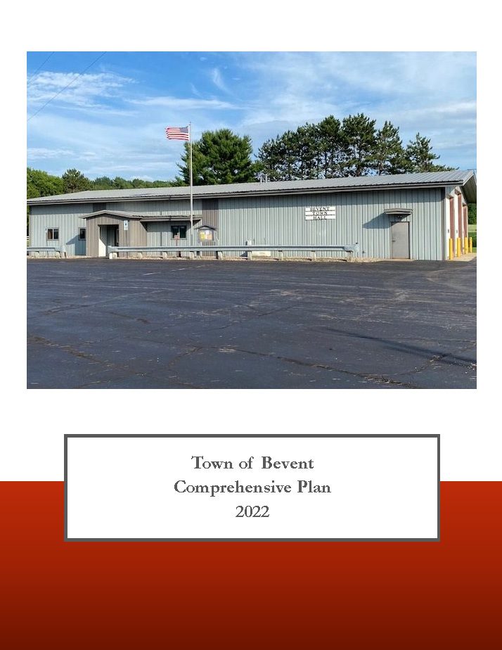
Town of Bevent Comprehensive Plan 2022
The Town of Bevent Comprehensive Plan is a compilation of historical data and community created goals, objectives, policies, and programs that will guide future planning and community decisions for a 20-year period. Comprehensive plans incorporate a twenty-year vision and provide a rational basis for local land use decisions.
The comprehensive plan law (§66.1001 WI Stats.) defines the contents of a local comprehensive plan, which has nine chapters—Issues & Opportunities; Natural, Cultural, & Agricultural Resources; Housing; Transportation; Economic Development; Land Use; Utilities & Community Facilities; Intergovernmental Cooperation; and Implementation. Population, housing, and land use projections are also required in 5-year increments for 20 years. Locally created goals, objectives, and policies are also part of each comprehensive plan chapter.
According to §66.1001 WI Stats., if a town, village, city, or county engages in official mapping, subdivision regulation, or zoning, those actions must be consistent with that community’s comprehensive plan.
Town of Quincy Comprehensive Plan 2022
The purpose of a Comprehensive Plan is to guide future growth and development in the Town over the next 10 to 20 years. A comprehensive plan provides the vision and direction for natural resource protection, housing and economic development, transportation and community facilities, land use, intergovernmental relations, and other factors that together form the community’s future. Comprehensive planning was enacted to encourage long-range planning for communities and provide consistency in land use decision making. The Comprehensive Plan is a guide that elected officials, residents, and business owners can use for directing growth and redevelopment in the community. The Comprehensive Plan is a long-range policy document consisting of goals, objectives, and policies prepared to meet the State’s definition of a comprehensive plan as defined under Section 66.1001.
Town of Newbold Comprehensive Plan 2021
The purpose of a Comprehensive Plan is to guide future growth and development in the Town over the next 10 to 20 years. A comprehensive plan provides the vision and direction for natural resource protection, housing and economic development, transportation and community facilities, land use, intergovernmental relations, and other factors that together form the community’s future. Comprehensive planning was enacted to encourage long-range planning for communities and provide consistency in land use decision making. The Comprehensive Plan is a guide that elected officials, residents, and business owners can use for directing growth and redevelopment in the community. The Comprehensive Plan is a long-range policy document consisting of goals, objectives, and policies prepared to meet the State’s definition of a comprehensive plan as defined under Section 66.1001.
