Forest County is a county located in northernf Wisconsin. As of the 2020 census, the population was 9,179. The county seat is Crandon. Forest County was created in 1885 and is named after the heavily forested terrain within its borders. The county is known for its many lakes, forests and outdoor recreational opportunities. The Chequamegon-Nicolet National Forest covers a large portion of the county. The county is mostly rural with forestry and tourism being the main industries.
Forest County Parcel Mapping
NCWRPC continues to support Forest County with their land records modernization. General parcel maintenance, road centerline and address point updates for the county 911 system.
NEWCOM
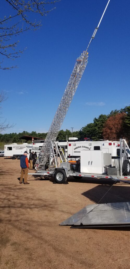
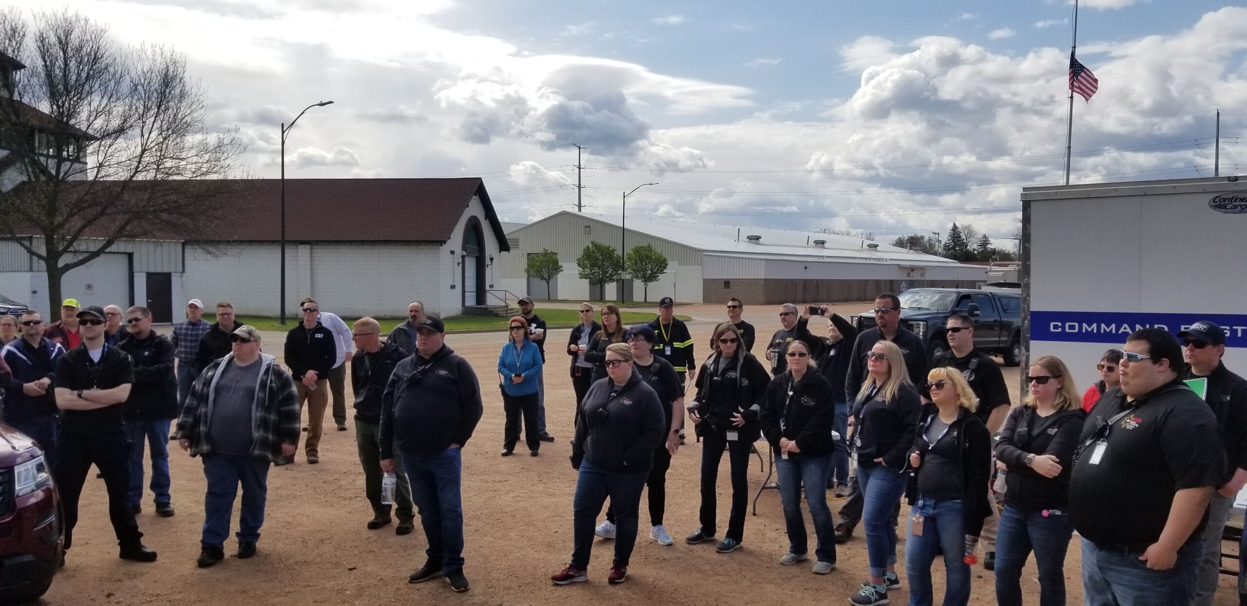
The counties of northeastern Wisconsin have a long history of working cooperatively to address the public safety needs of the area. This latest effort, called the North East Wisconsin Public Safety COMmunications or NEWCOM, will create a group that will identify the communication needs for the area, so the 500 plus law enforcement and public safety organizations can communicate effectively throughout the Region.
The group formed under Intergovernmental Agreement §66.0301, Wis. Stats in 2006
Meetings 2026
February 5th
May 7th
August 6th
November 5th
| Sherri Congleton | Vilas County | Chair |
| Ryan Berdal | Marathon County | Vice-Chair |
| Rozanne Kahan | Price County | Secretary- Treasurer |
| Christian Boulanger | NCWRPC | NEWCOM Contact |
Town of Lincoln Comprehensive Plan 2020
The Town of Lincoln Comprehensive Plan is a compilation of historical data, and community created goals, objectives, and policies to guide future planning and community land use decisions for a 20-year period.
The comprehensive plan law (§66.1001 WI Stats.) defines the contents of a local comprehensive plan, which has nine chapters—Issues & Opportunities; Natural, Cultural, & Agricultural Resources; Housing; Transportation; Economic Development; Land Use; Utilities & Community Facilities; Intergovernmental Cooperation; and Implementation. Population, housing, and land use projections are also required in 5-year increments for 20 years. Locally created goals, objectives, and policies are also part of each comprehensive plan chapter.
According to §66.1001 WI Stats., if a town, village, city, or county engages in official mapping, subdivision regulation, or zoning, those actions must be consistent with that community’s comprehensive plan.
Tom Tallier
Forest County
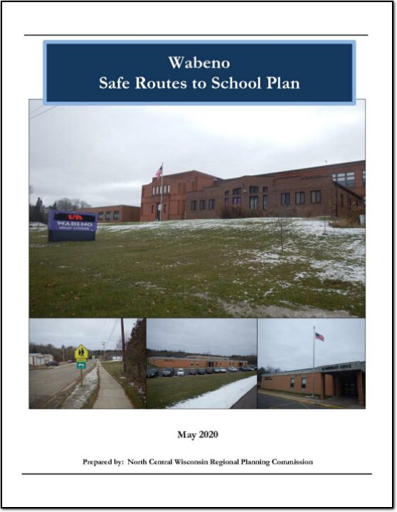
Wabeno Safe Routes to School Plan
This plan was developed by NCWRPC in conjunction with the Wabeno School District, Town of Wabeno, and the Wabeno SRTS Task Force as part of the North Central Wisconsin Regional Safe Routes to School Program. This Regional program was made possible in part by a Transportation Alternatives Program grant from the Wisconsin Department of Transportation. Additional funding was provided by the NCWRPC.
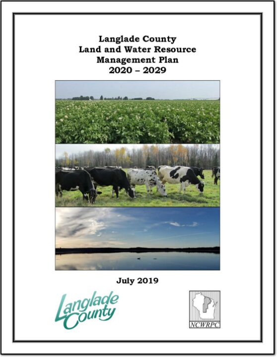
Langlade County Land and Water Resource Management 2020-2029
The Langlade County Land and Water Resource Management Plan was developed to assist the County’s citizens and natural resource agencies with managing and protecting the land and water resources throughout Langlade County.
The goals and objectives in this plan will help resolve local natural resource problems as identified by the Resource Advisory Group. These goals and objectives will also provide the basis for various local, state, and federal agencies to coordinate implementation of their programs of land and water management.
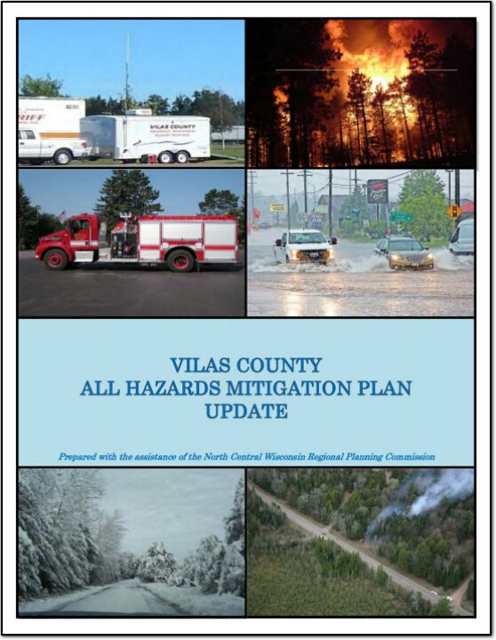
Vilas County All Hazards Mitigation Plan Update 2019
The federal Disaster Mitigation Act of 2000 mandates that mitigation plans be accomplished for all incorporated units of government as well as Native American tribes and updated on a five-year cycle. Although Vilas County collaborated with the Lac du Flambeau Tribe on the development of a joint hazard mitigation plan in 2008, its 2013 plan is considered the County’s initial All Hazards Mitigation Plan (AHMP) by FEMA. This is the first update to the plan. The next subsequent update will be due in 2024. An approved mitigation plan is required for a jurisdiction to be eligible for certain federal mitigation funding following a disaster. In addition, if a major disaster strikes a jurisdiction without a current plan, FEMA will require the jurisdiction to complete a plan.
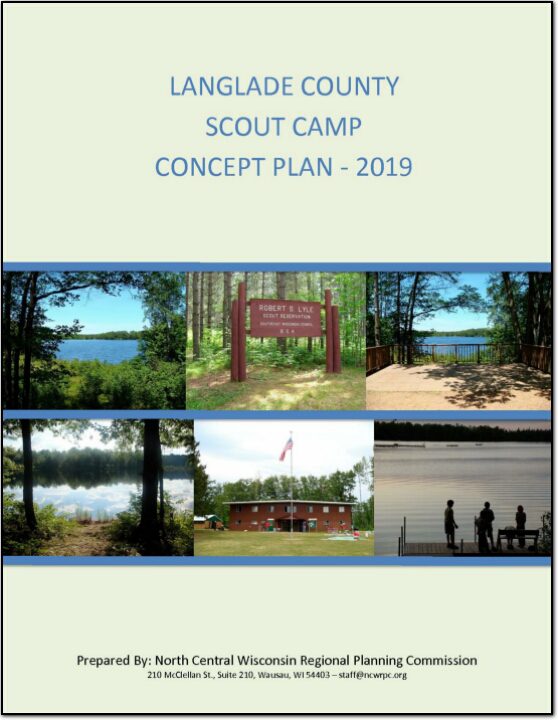
Langlade County Scout Camp Concept Plan – 2019
The 522-acre camp was closed in 2015 and became available. The County researched and evaluated acquiring the site for a variety of potential uses. They then applied for funding from the Department of Natural Resources through the Knowles-Nelson Stewardship Land Acquisition program to help fund the purchase. The acquisition of the 522-acre site cost a total of $1.35 million, with $730,000 being provided from the Knowles-Nelson Stewardship Land Acquisition Program. Map 2: Site Boundary displays the boundaries of the entire site.
The County plans to utilize the site as a campground and to open public access to the two lakes on the site. The Langlade County Forestry Department will also manage the site’s wooded areas for timber production. The campground will be developed in phases over time and will provide for tent, cabin, and RV camping. This concept plan was prepared to provide a general development plan for the site, and to provide some general recommendations for the site.
On December 15, 2017, Langlade County purchased the Robert S. Lyle Scout Reservation, which is located east of Elcho in the northeast section of the County, from the Three Harbors Boy Scout Council of Milwaukee, Racine and Kenosha counties. For a representation of where the camp is located within Wisconsin, see Map 1: Location. The facility operated as a Boy Scout Camp for over 50 years.
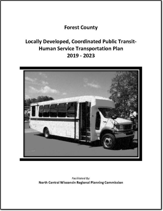
Forest County Locally Developed, Coordinated Public Transit-Human Service Transportation Plan 2019-2023
Federal transit law requires that any projects selected for funding under the Section 5310 Enhanced Mobility of Seniors and Individuals with Disabilities (formerly titled Elderly and Disabled Capital Assistance Program) must be derived from a “locally developed, coordinated public transit-human services transportation plan”. This requirement was implemented as part of the SAFETEA-LU legislation and the requirement continues under the new transportation legislation, FAST Act (Fixing America’s Surface Transportation). The purpose of the coordinated planning process is to have stakeholder involvement in the assessment of elderly and disabled transportation, and to provide strategies and goals to improve those transportation alternatives. These coordinated plans were last completed in 2013 and are due to be updated
for 2019.