The NCWRPC has been actively involved in transportation planning and received “designation” as a rural transportation planning district from the Wisconsin Department of Transportation.
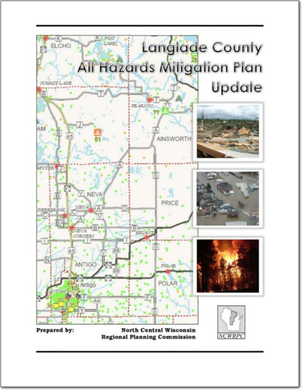
Langlade County All Hazards Mitigation Plan Update 2013
Part I of the Langlade County All Hazards Mitigation Plan (AHMP) Update describes and documents the process used to develop the plan update. This includes how it was prepared and who (committee, organizations, departments, staff, consultants, etc.) was involved in the update process. It also describes the local government’s involvement, the time period in which the update was prepared, and who to contact to answer questions and make recommendations for future amendments to the plan.
NCWRPC News Fall 2013 – Issue 51
Marathon County Locally Developed, Coordinated Public Transit-Human Service Transportation Plan 2014-2018
Federal transit law requires that any projects selected for funding under the Section 5310 Enhanced Mobility of Seniors and Individuals with Disabilities (formerly titled Elderly and Disabled Capital Assistance Program) must be derived from a “locally developed, coordinated public transit-human services transportation plan”. This requirement was implemented as part of the SAFETEA-LU legislation and the requirement continues under the new transportation legislation, FAST Act (Fixing America’s Surface Transportation). The purpose of the coordinated planning process is to have stakeholder involvement in the assessment of elderly and disabled transportation, and to provide strategies and goals to improve those transportation alternatives. These coordinated plans were last completed in 2008 and are due to be updated
for 2013.
Wood County Locally Developed, Coordinated Public Transit-Human Service Transportation Plan 2014-2018
Federal transit law requires that any projects selected for funding under the Section 5310 Enhanced Mobility of Seniors and Individuals with Disabilities (formerly titled Elderly and Disabled Capital Assistance Program) must be derived from a “locally developed, coordinated public transit-human services transportation plan”. This requirement was implemented as part of the SAFETEA-LU legislation and the requirement continues under the new transportation legislation, FAST Act (Fixing America’s Surface Transportation). The purpose of the coordinated planning process is to have stakeholder involvement in the assessment of elderly and disabled transportation, and to provide strategies and goals to improve those transportation alternatives. These coordinated plans were last completed in 2008 and are due to be updated
for 2013.
2014-2018 Locally Developed, Coordinated Public Transit – Human Services Transportation Plan
Federal transit law requires that any projects selected for funding under the Section 5310 Enhanced Mobility of Seniors and Individuals with Disabilities (formerly titled Elderly and Disabled Capital Assistance Program) must be derived from a “locally developed, coordinated public transit-human services transportation plan”. This requirement was implemented as part of the SAFETEA-LU legislation and the requirement continues under the new transportation legislation, MAP-21 (Moving Ahead for Progress in the 21st Century). The purpose of the coordinated planning process is to have stakeholder involvement in the assessment of elderly and disabled transportation, and to provide strategies and goals to improve those transportation alternatives. These coordinated plans were last completed in 2008 and are due to be updated in 2013.
Juneau County Locally Developed, Coordinated Public Transit-Human Service Transportation Plan 2014-2018
Federal transit law requires that any projects selected for funding under the Section 5310 Enhanced Mobility of Seniors and Individuals with Disabilities (formerly titled Elderly and Disabled Capital Assistance Program) must be derived from a “locally developed, coordinated public transit-human services transportation plan”. This requirement was implemented as part of the SAFETEA-LU legislation and the requirement continues under the new transportation legislation, MAP-21 (Moving Ahead for Progress in the 21st Century). The purpose of the coordinated planning process is to have stakeholder involvement in the assessment of elderly and disabled transportation, and to provide strategies and goals to improve those transportation alternatives. These coordinated plans were last completed in 2008 and are due to be updated in 2013.
Lincoln County Locally Developed, Coordinated Public Transit-Human Service Transportation Plan 2014-2018
Federal transit law requires that any projects selected for funding under the Section 5310 Enhanced Mobility of Seniors and Individuals with Disabilities (formerly titled Elderly and Disabled Capital Assistance Program) must be derived from a “locally developed, coordinated public transit-human services transportation plan”. This requirement was implemented as part of the SAFETEA-LU legislation and the requirement continues under the new transportation legislation, MAP-21 (Moving Ahead for Progress in the 21st Century). The purpose of the coordinated planning process is to have stakeholder involvement in the assessment of elderly and disabled transportation, and to provide strategies and goals to improve those transportation alternatives. These coordinated plans were last completed in 2008 and are due to be updated in 2013.
Town of Cassian Traffic Count Report – 2013
The Town of Cassian requested traffic counting services from the North Central Wisconsin Regional Planning Commission for three locations within the Town.
Oneida County Comprehensive Plan 2013
This is the first of nine elements that comprise the Oneida County Comprehensive Plan. The plan provides detailed information on the county and also includes all twenty towns and the City of Rhinelander. Oneida County is located in northeastern Wisconsin and is bounded on the north by Vilas County, on the east by Forest County, on the south by Lincoln and Langlade counties, and on the west by Price County. The county is a predominantly rural area with a large proportion of its land in forests, wetlands, and agriculture. Residents and visitors from both near and far utilize its more than 1,100 lakes and expansive natural areas for recreational purposes. The City of Rhinelander is the county seat and largest community in the county with a population of about 8,200. See the planning context map.