The NCWRPC has been actively involved in transportation planning and received “designation” as a rural transportation planning district from the Wisconsin Department of Transportation.
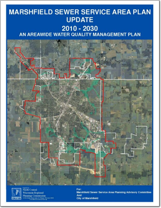
Marshfield Sewer Service Area Plan Update – 2030
This report is intended to update and replace the original 2000-2020 sewer service area plan for the City of Marshfield and surrounding area. These types of plans are also known as areawide water quality management plans. The general purpose of this areawide water quality management plan, herein referred to as Sewer Service Area Plan, is to maintain a twenty year sanitary sewer service boundary for the Marshfield Urban Area and an institutional structure for implementing the Plan and managing the extension of sanitary sewage services within this urban area. The urban sanitary sewer service area boundary identifies the geographic land area within which sanitary sewer service could be made available by the year 2030 through a cost-effective, environmentally acceptable manner.
Comprehensive Economic Development Strategy 2011
An assessment of economic development activities of the North Central Wisconsin Regional Planning Commission over the last decade and the past year. The report’s seven sections describe the CEDS Committee, Past Year’s Activities, the Physical Region, Changes in the Region’s Population, changes in the Region’s Economy, a Regional Development Strategy, and an Economic Development Work Plan. Also included is a list of potential public works projects. This CEDS process maintains the Region’s eligibility as an Economic Development District (EDD) with the U.S. Economic Development Administration. The District consists of ten counties. These counties are Adams, Forest, Juneau, Langlade, Lincoln, Marathon, Oneida, Portage, Vilas, and Wood. However, Portage, and Wood Counties do not fully participate in the EDD – only some local communities with these two Counties participate.
NCWRPC News Winter 2010 – Issue 43
Village of Friendship Traffic Count Report – 2010
The Village requested general information with regard to traffic volumes on these roads. The attached reports summarize the data from these sites. For each location, there are two vehicle volume reports (#1 with average hourly vehicle counts by lane direction and totals for the counting period and #2 with daily volumes and peaks), a combined classification report with totals combined for both directions by type of vehicle and time, and a combined speed report with totals combined for both directions by speed group and time.
Oneida County All Hazards Mitigation Plan Update 2010
The development of the Oneida County All Hazards Mitigation Plan Update is a response to the passage of the Disaster Mitigation Act of 2000 (DMA2K). On October 30, 2000, DMA2K was signed into law by the U.S. Congress in an attempt to stem the losses from disasters, reduce future public and private expenditures, and to speed up response and recovery from disasters. This Act (Public Law 106-390) amended the Robert T. Stafford Relief and Emergency Assistance Act.
Town of Woodruff Comprehensive Plan 2010
The Town of Woodruff is an unincorporated rural town in northwestern Oneida County with a northern border neighboring Vilas County. It is adjacent to the communities of Minocqua, Lake Tomahawk, and Newbold in Oneida County, and Arbor Vitae and the Lac du flambeau in Vilas County
Town of Rolling Traffic Count Report
The Town requested general information with regard to traffic volumes on specific roads.
Town of Cassian Traffic Count Report – 2010
The Town requested general information with regard to traffic volumes on these roads. The attached reports summarize the data from these sites.
Comprehensive Economic Development Strategy 2010
The Comprehensive Economic Development Strategy (CEDS) Annual Report serves to summarize and assess the past year’s economic development activities and present new and modified program strategies for the upcoming year. It follows the CEDS format as suggested by the U. S. Department of Commerce, Economic Development Administration.