Providing Economic Development, Geographic Information Systems, Intergovernmental Cooperation, Land Use Planning and Transportation Assistance since 1973
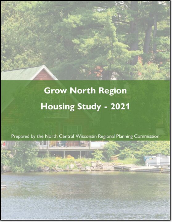
Housing is a crucial component of livability and is critical for regional and local prosperity. Communities that can offer a variety of housing types that are affordable across a wide spectrum of income levels are significantly more capable of providing the conditions necessary to attract and retain residents of all life phases. Housing impacts more than just residents, as housing also impacts transportation, employment, economic development, land use patterns, and communities themselves. The connection between housing and work is a fundamental function of any transportation system, as many workers are required to travel to their jobs. This relationship between housing, employment, and transportation guides land use decisions, and fosters economic development and a sense of community within communities and the Region.
The Wisconsin Regional Orthoimagery Consortium (WROC) is a multi-entity group. The goal of the consortium is to build and sustain a multi-participant program to acquire digital orthoimagery and elevation data throughout Wisconsin. The WROC approach brings a number of potential benefits to participants including cost savings, specifications and standards support, customized datasets, data sharing between members and partners, and procurement support.
The next round of WROC is underway. North Central Wisconsin Regional Planning Commission (NCWRPC) will once again coordinate and lead the Consortium. In 2021, the RPC extended its agreement with Ayres Associates to facilitate the Consortium and provide geospatial services to its members and partners.
There will be options for participation in 2023, 2024, and 2025. A number of member counties will be going to a 3-year cycle starting in 2023. Another group of counties will fly in 2024.The largest group will participate again in 2025, keeping the consistency of the 5-year cycle. Member counties flying in 2023, 2024, and 2025 will be eligible for partner funding.
The aerial mapping services provided under WROC will continue to evolve to meet the needs of local government members and partner organizations. This will be achieved through a coordinated, county-by-county approach over the next three years, with participation peaking in 2025. Program representatives will work with all private, federal, and state partners to build the program into regional datasets. WROC has a stated goal of achieving statewide coverage by the end of 2025.
WROC representatives will be hosting meetings across the state to discuss the consortium approach and participation options for 2023-25. If you are interested in meeting, please contact program managers Andy Faust or Zach Nienow
The primary purpose of this outdoor recreation plan is to provide continued direction toward meeting the current and future recreation needs of Langlade County. This is accomplished through an inventory and analysis of outdoor recreational facilities, asking the public what they are looking for, and the establishment of recommendations to meet identified needs.
Langlade County is a county located in northern Wisconsin. As of the 2020 census, the population was 19,491. The county seat is Antigo. Langlade County was created in 1879 and is named after Charles Langlade, a prominent fur trader and early settler in Wisconsin. The county is known for its many lakes, forests and outdoor recreational opportunities, including the Langlade County Forest, the Wolf River and the Ice Age Trail. The county is mostly rural with logging and paper mills as major industries. The county has several small towns and communities, including White Lake, Elcho, and Summit Lake. The county is also known for its hunting, fishing, and snowmobiling.
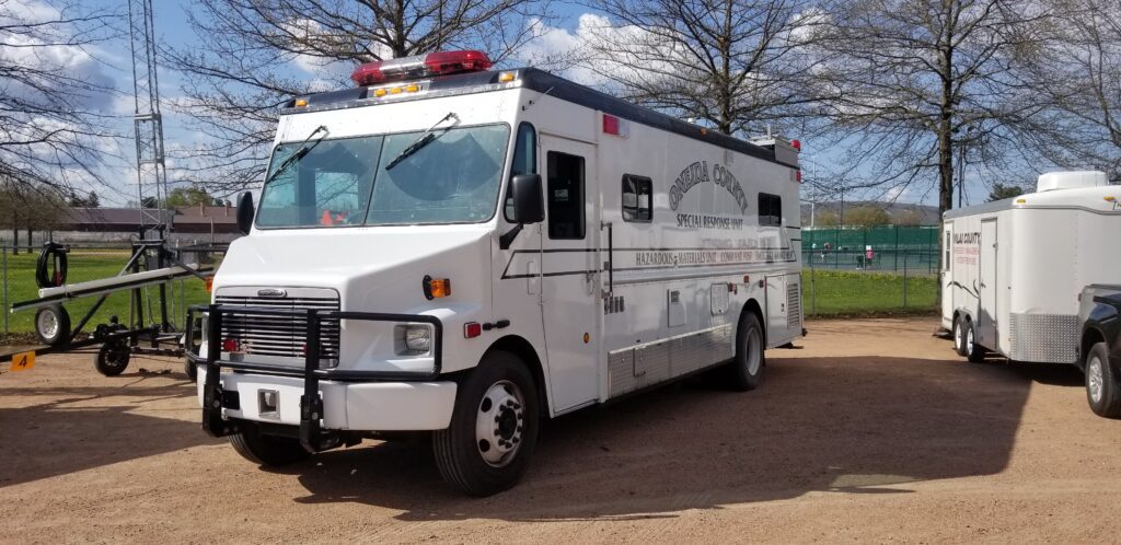
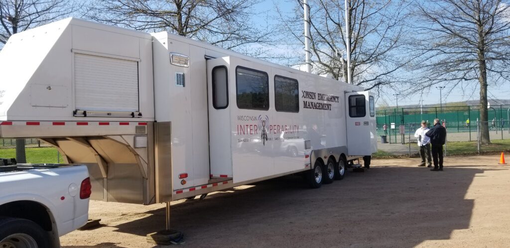
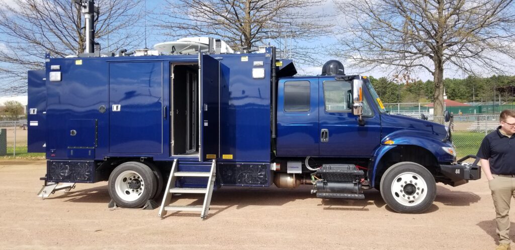
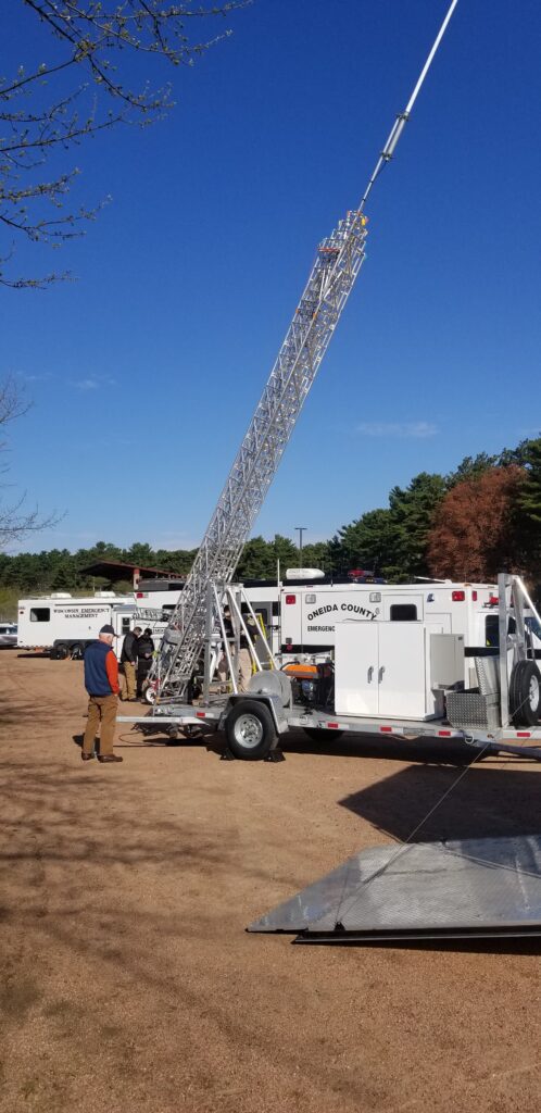
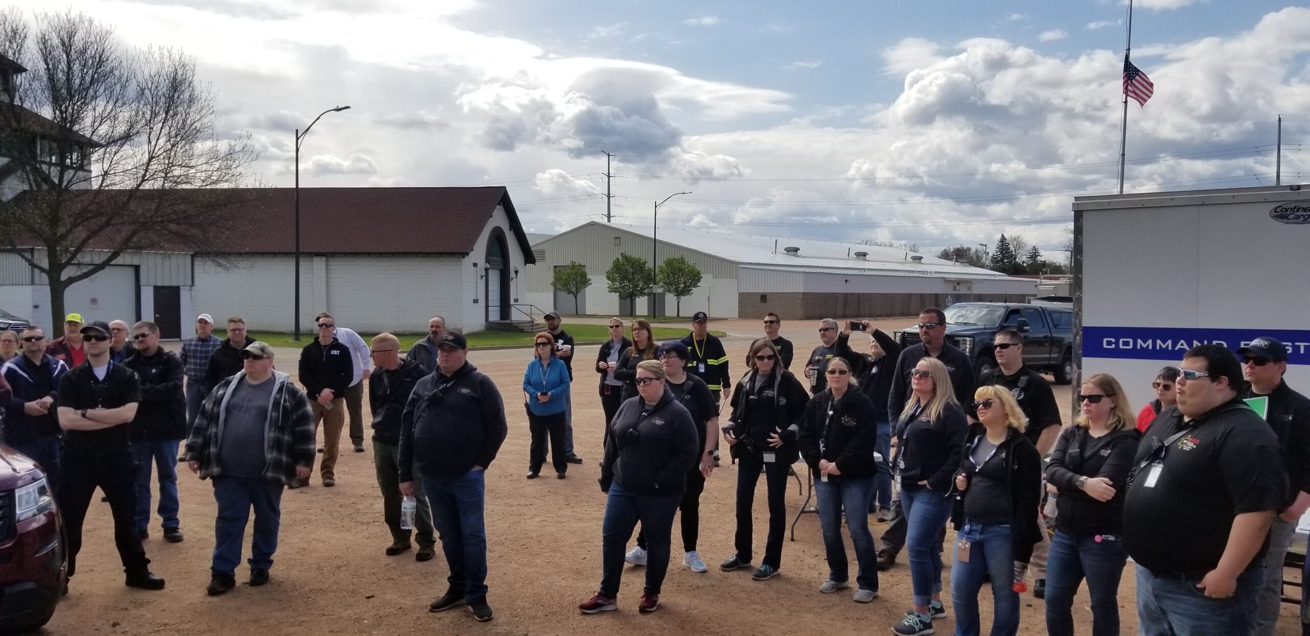
The counties of northeastern Wisconsin have a long history of working cooperatively to address the public safety needs of the area. This latest effort, called the North East Wisconsin Public Safety COMmunications or NEWCOM, will create a group that will identify the communication needs for the area, so the 500 plus law enforcement and public safety organizations can communicate effectively throughout the Region.
The group formed under Intergovernmental Agreement §66.0301, Wis. Stats in 2006
Meetings 2026 February 5th May 7th August 6th November 5th
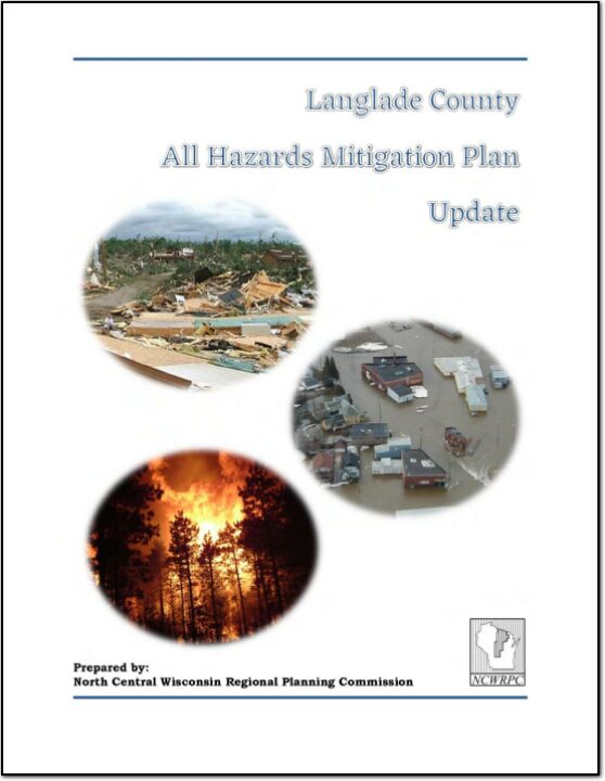
Langlade County All Hazards Mitigation Plan (AHMP) Update describes and documents the process used to develop the plan update. This includes how it was prepared and who (committee, organizations, departments, staff, consultants, etc.) was involved in the update process. It also describes the local government involvement, the time period in which the update was prepared, and who to contact to answer questions and make recommendations for future amendments to the plan.
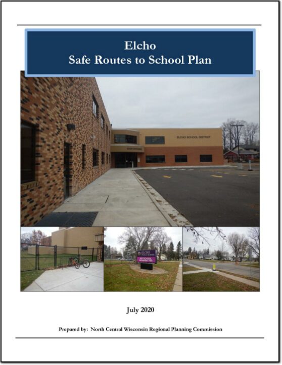
This plan was developed by NCWRPC in conjunction with the School District of Elcho, Town of Elcho, and the Elcho SRTS Task Force as part of the North Central Wisconsin Regional Safe Routes to School Program. This Regional program was made possible in part by a Transportation Alternatives Program grant from the Wisconsin Department of Transportation. Additional funding was provided by the NCWRPC.