Providing Economic Development, Geographic Information Systems, Intergovernmental Cooperation, Land Use Planning and Transportation Assistance since 1973
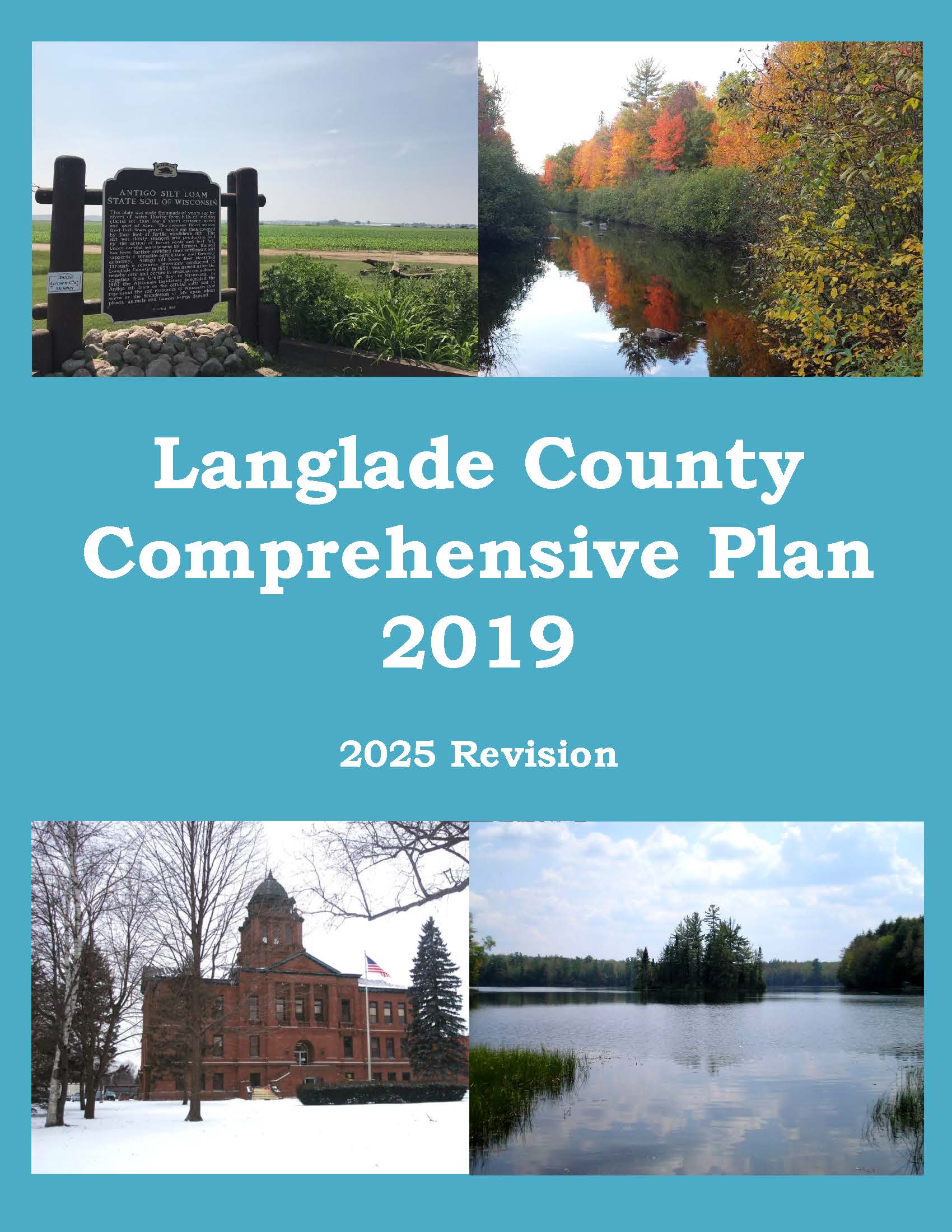
The Langlade County Comprehensive Plan. The plan provides detailed information on the county and also includes all seventeen towns, a village and one city.
The Farmland Preservation Plan’s required elements are incorporated into this Langlade County Comprehensive Plan. Those required elements were revised in 2024 and 2025.
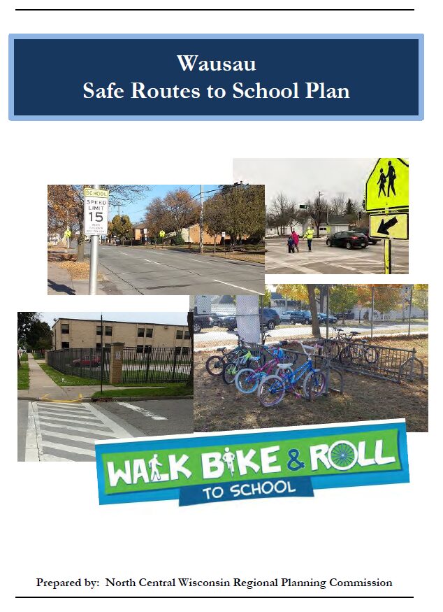
Safe Routes to School (SRTS) programs are an opportunity to make walking and bicycling to school safer for children in grades K-8, and to increase the number of children who choose to walk and bicycle. On a broader level, SRTS programs can enhance children’s health and well-being, ease traffic congestion near the school, and improve community members’ overall quality of life.
In 2018, the City of Wausau and the Wausau School District won a WisDOT SRTS planning grant to create a SRTS Plan.
In the fall of 2021, the City of Wausau and the Wausau School District began SRTS Planning with the assistance of the North Central Wisconsin Regional Planning Commission (NCWRPC). The NCWRPC is guiding the Wausau SRTS Task Force through the planning process.
Data collection occurred in spring & summer 2022. Further analysis with the SRTS Task Force will occur throughout the 2022-2023 school year.
Plan development occurred in 2023.
Plan review and revision will occur throughout the 2023-2024 school year.
Plan adoption is anticipated in spring/summer 2024.
Implementation of the Wausau SRTS Plan can begin anytime thereafter into many years later.
Schools in Wausau SRTS Plan:
John Muir Middle School Thomas Jefferson Elementary Grant Elementary G.D. Jones Elementary Lincoln Elementary
Horace Mann Middle School Riverview Elementary Franklin Elementary Hawthorn Hills Elementary John Marshall Elementary
Safe Routes to School (SRTS) programs are an opportunity to make walking and bicycling to school safer for children in grades K-8, and to increase the number of children who choose to walk and bicycle. On a broader level, SRTS programs can enhance children’s health and well-being, ease traffic congestion near the school, and improve community members’ overall quality of life.
Planning Process In 2022, the North Central Wisconsin Regional Planning Commission and School District of Athens won a WisDOT SRTS planning grant to create a SRTS Plan for Athens Elementary. In the fall of 2023, the Village and Athens Elementary began SRTS Planning with the assistance of the North Central Wisconsin Regional Planning Commission (NCWRPC). The NCWRPC guided the Athens Elementary SRTS Task Force through the planning process.
Athens Elementary SRTS Task Force Joy Redmann, Athens Elementary Principal Jamey Handschke, Buildings and Grounds Supervisor Andrea Sheridan, Superintendent Tanner Nowacki, Evening Custodian Julie Weideman, Parent Carla Nowak, Kindergarten Teacher Kathy Luther, Grade 2 Teacher Beth Steinke, Business Office Manager Bridget Kottke, Parent Officer Aaron Stencil, Athens Police Department Lisa Czech, Clerk, Village of Athens Fred Heider, Planner, North Central Wisconsin Regional Planning Commission
School Data Athens Elementary -Parent Survey Results Map 3 – Site Assessment (Not available yet.) Map 4 – Transportation (Not available yet.) Map 5 – School Routes (Not available yet.) Map 6 – Recommendations (Not available yet.)
Safe Routes to School (SRTS) programs are an opportunity to make walking and bicycling to school safer for children in grades K-8, and to increase the number of children who choose to walk and bicycle. On a broader level, SRTS programs can enhance children’s health and well-being, ease traffic congestion near the school, and improve community members’ overall quality of life.
Planning Process In 2022, the North Central Wisconsin Regional Planning Commission and School District of Spencer won a WisDOT SRTS planning grant to create a SRTS Plan for Spencer Elementary and Spencer Middle/High School. In the fall of 2022, Spencer and Spencer Public Schools began SRTS Planning with the assistance of the North Central Wisconsin Regional Planning Commission (NCWRPC). The NCWRPC guided the Spencer SRTS Task Force through the planning process.
Spencer SRTS Task Force Mike Endreas, District Administrator Paul Hensch, Village Administrator/Clerk/Treasurer Barb Wesle, Spencer School Board Brooke Krause, Spencer PTA/Parent Brad Bauer, Spencer Police Department Edward Ikert, Spencer Elementary School Principal Fred Heider, Planner, North Central Wisconsin Regional Planning Commission
Safe Routes to School (SRTS) programs are an opportunity to make walking and bicycling to school safer for children in grades K-8, and to increase the number of children who choose to walk and bicycle. On a broader level, SRTS programs can enhance children’s health and well-being, ease traffic congestion near the school, and improve community members’ overall quality of life.
In 2022, the North Central Wisconsin Regional Planning Commission and Weston Elementary won a WisDOT SRTS planning grant to create a SRTS Plan for Weston Elementary. In the fall of 2022, Weston Elementary began SRTS Planning with the assistance of the North Central Wisconsin Regional Planning Commission (NCWRPC). The NCWRPC is guiding the Weston Elementary SRTS Task Force through the planning process.
Weston Elementary SRTS Task Force
Kelly Ziegelbauer, Principal Jason Jablonski, DCE Buildings and Grounds Chris Nichols, DCE Finance Department Tiffany Wurz, Parent Greg Schremp, School Resource Officer Karen Wegge, DCE K-12 Physical Education/Health Curriculum Coordinator Yee Xiong, DCE School Board member Michael Wodalski, Village Director of Public Works Fred Heider, Planner, North Central Wisconsin Regional Planning Commission
Safe Routes To School (SRTS) programs are an opportunity to make walking and bicycling to school safer for children in grades K-8, and to increase the number of children who choose to walk and bike. On a broader level, SRTS programs can enhance children’s health and well-being, ease traffic congestion near schools, and improve community members’ overall quality of life.
For questions or comments regarding the Safe Routes to School (SRTS) program please contact:
Fred Heider, AICP Planner NCWRPC 210 McClellan St, Suite 210 Wausau WI 54403-4820
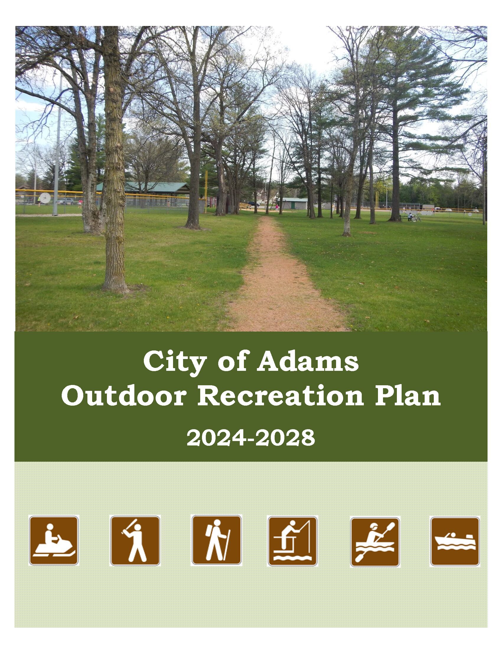
The primary purpose of this outdoor recreation plan is to provide continued direction toward meeting the current and future recreation needs of the City of Adams.
Adoption of this plan by the Adams City Council and subsequent acceptance by the Wisconsin Department of Natural Resources (WDNR) will continue the City’s eligibility for Land and Water Conservation Fund (LAWCON), and Stewardship Fund money.
Non-profit groups, foundations, and the general public may also use this document to coordinate their own private efforts for developing outdoor recreation facilities.
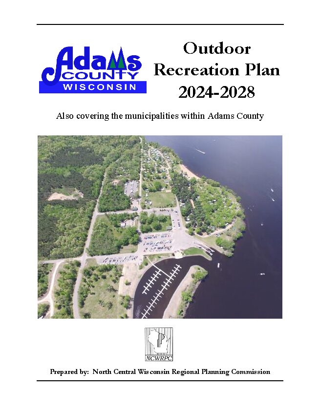
Adams County’s Parks & Recreation Department updates its Outdoor Recreation Plan every 5 years to identify essential outdoor recreation needs that affect the future of outdoor recreation in the County.
This Outdoor Recreation Plan (ORP) focuses upon County managed outdoor recreation facilities, and also list projects within the towns and the Village of Friendship. The City of Adams’ ORP and the Town of Rome’s ORP are both referenced in this plan. All listed nature based and active recreation based projects become eligible for competitive federal and state outdoor recreation grant money when this plan is adopted by County or local municipality by resolution.
Non-profit groups, foundations, and the general public may also use this document to coordinate their own private efforts for developing outdoor recreation facilities.