Providing Economic Development, Geographic Information Systems, Intergovernmental Cooperation, Land Use Planning and Transportation Assistance since 1973
Safe Routes to School (SRTS) programs are an opportunity to make walking and bicycling to school safer for children in grades K-8, and to increase the number of children who choose to walk and bicycle. On a broader level, SRTS programs can enhance children’s health and well-being, ease traffic congestion near the school, and improve community members’ overall quality of life.
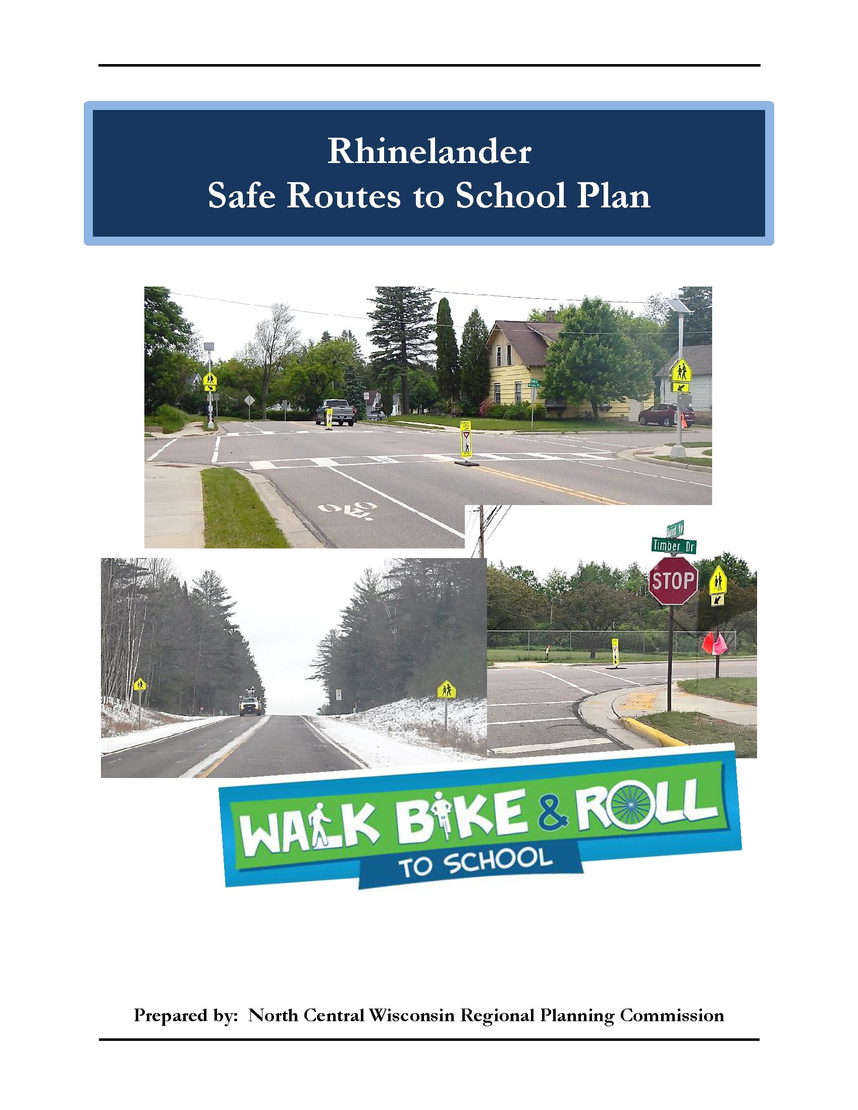
Planning Process In 2022, the North Central Wisconsin Regional Planning Commission and the School District of Rhinelander won a WisDOT SRTS planning grant to create a SRTS Plan for several schools in the District. In the fall of 2023, the City and District began SRTS Planning with the assistance of the North Central Wisconsin Regional Planning Commission (NCWRPC). The NCWRPC guided the Rhinelander SRTS Task Force through the planning process.
The following schools are part of Rhinelander SRTS Planning: James Williams Middle School Central Elementary Crescent Elementary Northwoods Community Elementary Pelican Elementary
Rhinelander SRTS Task Force Robert Thom, Director of Business Services, School District of Rhinelander Kyle Raleigh, Principal, James Williams Middle School Amanda Olson, Principal, Central Elementary (Former Principal Paul Johnson) Alex Bontz, Principal, Crescent Elementary Kyle Barber, Principal, Northwoods Community Elementary (Former Principal Gayle Daniel) Kari Strebig, Principal, Pelican Elementary (Former Principal Candice Cook) Lloyd J. Gauthier, Jr., Chief, Rhinelander Police Department Patrick Reagan, Rhinelander City Administrator Tom Roeser, Rhinelander Director of Public Works Austyn Zarda, Rhinelander City Clerk Fred Heider, AICP, Planner, North Central Wisconsin Regional Planning Commission
Safe Routes to School (SRTS) programs are an opportunity to make walking and bicycling to school safer for children in grades K-8, and to increase the number of children who choose to walk and bicycle. On a broader level, SRTS programs can enhance children’s health and well-being, ease traffic congestion near the school, and improve community members’ overall quality of life.
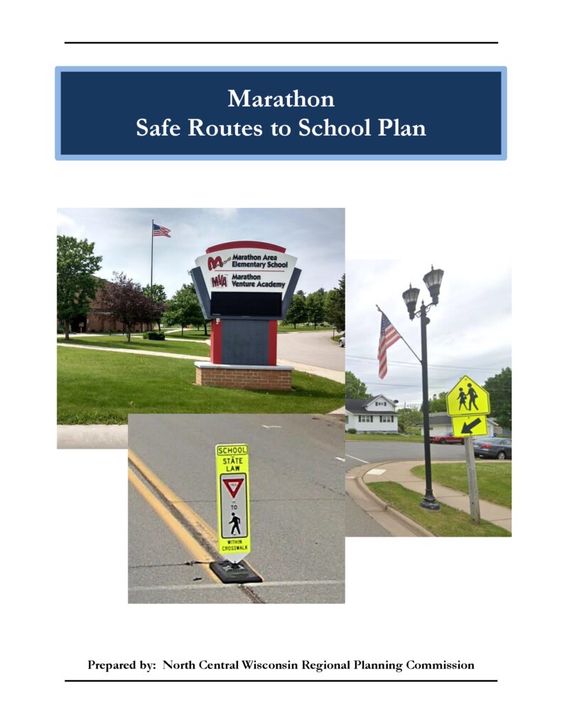
Planning Process In 2022, the North Central Wisconsin Regional Planning Commission and Marathon School District won a WisDOT SRTS planning grant to create a SRTS Plan for Marathon Area Elementary School (MAES) & Marathon Virtual Academy (MVA). In the fall of 2023, Marathon City and MAES/MVA began SRTS Planning with the assistance of the North Central Wisconsin Regional Planning Commission (NCWRPC). The NCWRPC guided the Marathon SRTS Task Force through the planning process.
Marathon SRTS Task Force Angela Woyak, District Administrator (Former District Administrator, Richard Parks, Ed.S.) Max Wienke, Elementary & Middle School Principal, MSD Connor Ellenbecker, MAES/MVA Associate Principal, MSD Brian Boehm, Director of Maintenance, MSD Tyler Geske, Chief, Marathon City Police Department Steve Cherek, Village Administrator – Treasurer, Village of Marathon City Fred Heider, AICP, Planner, North Central Wisconsin Regional Planning Commission
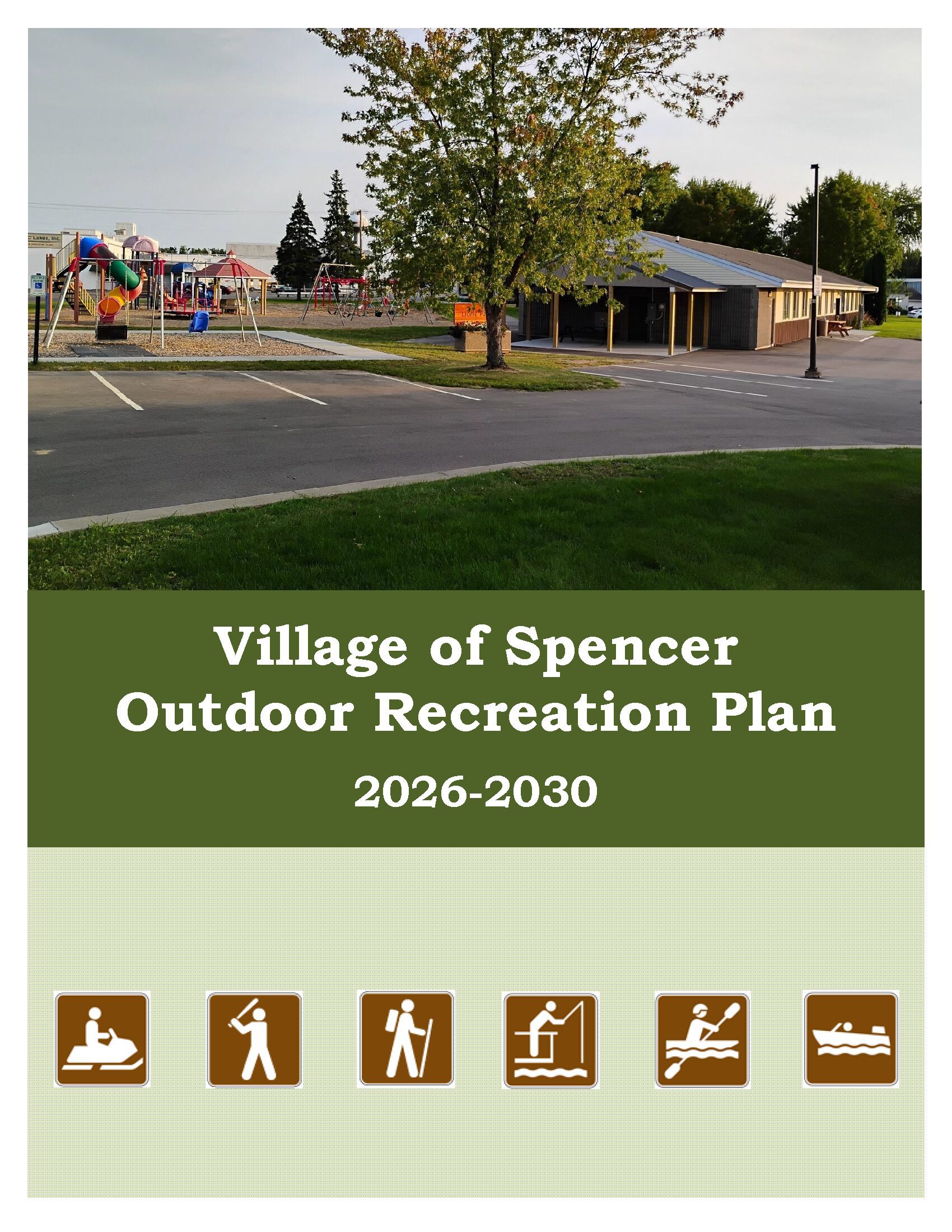
Spencer updates its Outdoor Recreation Plan every 5 years to identify essential outdoor recreation needs that affect the future of outdoor recreation in the Village.
This Outdoor Recreation Plan (ORP) focuses upon Village managed outdoor recreation facilities. All listed nature based and active recreation based projects become eligible for competitive federal and state outdoor recreation grant money when this plan is adopted by Village Board resolution.
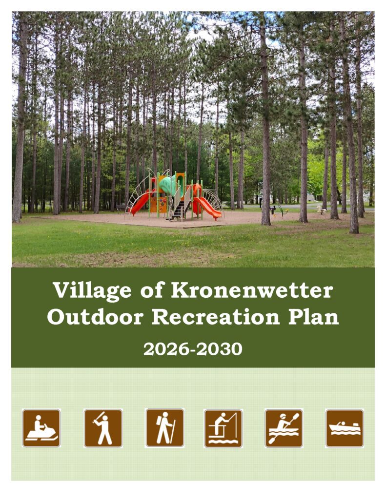
Kronenwetter updates its Outdoor Recreation Plan every 5 years to identify essential outdoor recreation needs that affect the future of outdoor recreation in the Village.
This Outdoor Recreation Plan (ORP) focuses upon Village managed outdoor recreation facilities. All listed nature based and active recreation based projects become eligible for competitive federal and state outdoor recreation grant money when this plan is adopted by Village Board resolution.
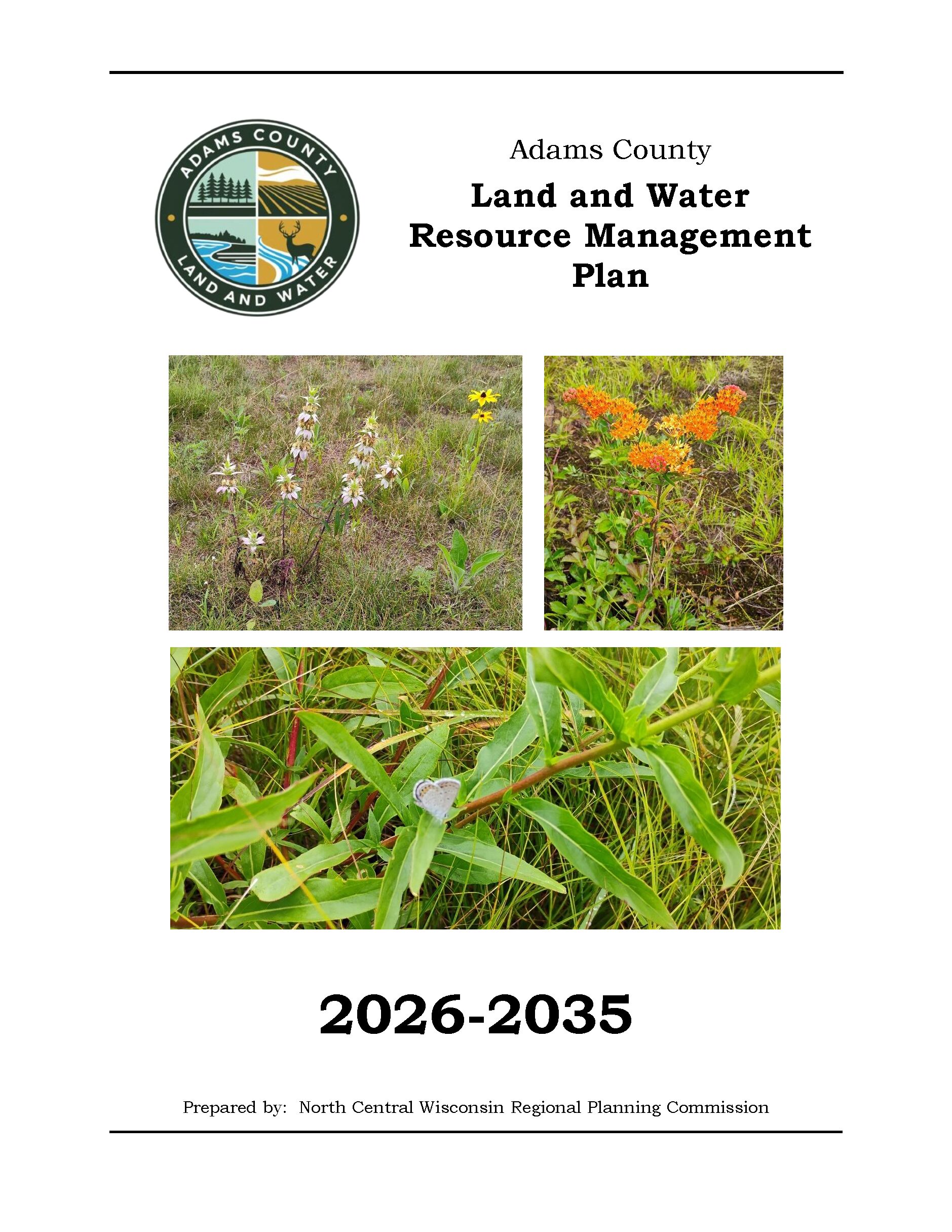
The Adams County Land and Water Resource Management (LWRM) plan was developed to assist the county in managing and protecting the land and water resources throughout Adams County.
At the root of the county Land and Water Resource Management (LWRM) plan concept is the cooperation and coordination of all agencies and groups within the county that have a role in land and water resource management. This plan coordinates everyone’s efforts, and focuses on how the County’s Land and Water Conservation Department will work with the other agencies.
Land and Water Resource Management (LWRM) Plans provide counties an opportunity to explain how they will meet the state performance standards and prohibitions (NR 151 and ATCP 50) to reduce runoff and protect water quality, as well as address other local land and water resource management concerns. The LWRM Plan provides the counties with the ability to develop local strategies to address the concerns; budget the limited staff and cost share dollars toward these concerns; provide for integration of programs and funding from all sources; and develop a variety of implementation tools.
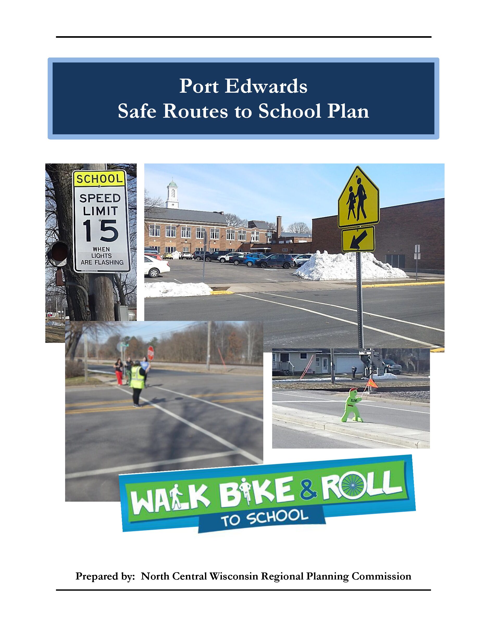
Safe Routes to School (SRTS) programs are an opportunity to make walking and bicycling to school safer for children in grades K-12, and to increase the number of children who choose to walk and bicycle. On a broader level, SRTS programs can enhance children’s health and well-being, ease traffic congestion near the school, and improve community members’ overall quality of life.
Planning Process In 2022, the North Central Wisconsin Regional Planning Commission and Port Edwards School District won a WisDOT SRTS planning grant to create a SRTS Plan for Ed Heuer Elementary School and John Edwards Middle/High School. In the fall of 2024, Port Edwards School District pulled out of the grant and the Village of Port Edwards continued SRTS planning with the assistance of the North Central Wisconsin Regional Planning Commission (NCWRPC). The NCWRPC guided the Village through the planning process.
Port Edwards Village Board Betsy Manel, President Nick Flugaur Rick Hess Eric Hummel Rob O’Connor Lonn Radtke Joe Zurfluh
Staff for this SRTS Plan Ben Martinson, Public Works Director Fred Heider, AICP, Planner, North Central Wisconsin Regional Planning Commission
Safe Routes to School (SRTS) programs are an opportunity to make walking and bicycling to school safer for children in grades K-12, and to increase the number of children who choose to walk and bicycle. On a broader level, SRTS programs can enhance children’s health and well-being, ease traffic congestion near the school, and improve community members’ overall quality of life.
In 2024, the D.C. Everest Area School District won a WisDOT SRTS planning grant to create a SRTS Plan for each public school in the District. The Weston Elementary SRTS Plan was created in 2024. The D.C. Everest Junior High SRTS Plan was created in 2009.
______ – D.C. Everest Area School District to perform transportation surveys (e.g., Student Tallies & Parent Surveys).
_______ – The D.C. Everest Area School District and local governments that the District operates in to begin SRTS planning with the assistance of the North Central Wisconsin Regional Planning Commission (NCWRPC). The NCWRPC is guiding the D.C. Everest SRTS Task Force through the planning process.
_______ – Data collection and SRTS planning to continue. Further analysis with the SRTS Task Force will occur throughout the 2027-2028 school year.
Plan review and revision will occur.
Plan adoption is anticipated in 2027.
Implementation of the D.C. Everest SRTS Plan can begin anytime after adoption, and throughout many years later.
.
Schools in D.C. Everest SRTS Plan:
Evergreen Elementary (K-5) Hatley Elementary (K-5) Mountain Bay Elementary (K-5) Riverside Elementary (K-5) Rothschild Elementary (3K, K-5) D.C. Everest Middle School (6-7) D.C. Everest High School (10-12)
.
Evergreen Elementary (grades K-5) Map 3A – Site Assessment (Not available yet.) Map 4A – Transportation (Not available yet.) Map 5A – School Routes (Not available yet.) Map 6A – Recommendations (Not available yet.) DRAFT – Evergreen Elementary SRTS Action Plan (Not available yet.)
Hatley Elementary (grades K-5) Map 3A – Site Assessment (Not available yet.) Map 4A – Transportation (Not available yet.) Map 5A – School Routes (Not available yet.) Map 6A – Recommendations (Not available yet.) DRAFT – Hatley Elementary SRTS Action Plan (Not available yet.)
Mountain Bay Elementary (grades K-5) Map 3A – Site Assessment (Not available yet.) Map 4A – Transportation (Not available yet.) Map 5A – School Routes (Not available yet.) Map 6A – Recommendations (Not available yet.) DRAFT – Mountain Bay Elementary SRTS Action Plan (Not available yet.)
Riverside Elementary (grades K-5) Map 3A – Site Assessment (Not available yet.) Map 4A – Transportation (Not available yet.) Map 5A – School Routes (Not available yet.) Map 6A – Recommendations (Not available yet.) DRAFT – Riverside Elementary SRTS Action Plan (Not available yet.)
Rothschild Elementary (grades 3K, K-5) Map 3A – Site Assessment (Not available yet.) Map 4A – Transportation (Not available yet.) Map 5A – School Routes (Not available yet.) Map 6A – Recommendations (Not available yet.) DRAFT – Rothschild Elementary SRTS Action Plan (Not available yet.)
D.C. Everest Middle School (grades 6-7) Map 3A – Site Assessment (Not available yet.) Map 4A – Transportation (Not available yet.) Map 5A – School Routes (Not available yet.) Map 6A – Recommendations (Not available yet.) DRAFT – D.C. Everest Middle School SRTS Action Plan (Not available yet.)
D.C. Everest High School (grades 10-12) Map 3A – Site Assessment (Not available yet.) Map 4A – Transportation (Not available yet.) Map 5A – School Routes (Not available yet.) Map 6A – Recommendations (Not available yet.) DRAFT – D.C. Everest High School SRTS Action Plan (Not available yet.)
Safe Routes to School (SRTS) programs are an opportunity to make walking and bicycling to school safer for children in grades K-12, and to increase the number of children who choose to walk and bicycle. On a broader level, SRTS programs can enhance children’s health and well-being, ease traffic congestion near the school, and improve community members’ overall quality of life.
In 2024, the City of Antigo and the Unified School District of Antigo won a WisDOT SRTS planning grant to create a SRTS Plan for each public school in the District.
Spring 2027 – Unified School District of Antigo to perform transportation surveys (e.g., Student Tallies & Parent Surveys).
Fall 2027 – The City of Antigo and the Unified School District of Antigo to begin SRTS planning with the assistance of the North Central Wisconsin Regional Planning Commission (NCWRPC). The NCWRPC is guiding the Antigo SRTS Task Force through the planning process.
Fall 2027 – Data collection and SRTS planning to continue. Further analysis with the SRTS Task Force will occur throughout 2027.
Plan review and revision will occur throughout 2027.
Plan adoption is anticipated in late 2027 or early 2028.
Implementation of the Antigo SRTS Plan can begin anytime after adoption, and throughout many years later.
Schools in Antigo SRTS Plan:
North Elementary (4K-3) West Elementary (4K-3) John H Bradley Elementary (K-4, replacing both North & West) Antigo Middle School (5-8) Antigo High School (9-12)
East Elementary (grades 4K-3) Map 3A – Site Assessment (Not available yet.) Map 4A – Transportation (Not available yet.) Map 5A – School Routes (Not available yet.) Map 6A – Recommendations (Not available yet.) DRAFT – East Elementary SRTS Action Plan (Not available yet.)
North Elementary (grades 4K-3) Map 3A – Site Assessment (Not available yet.) Map 4A – Transportation (Not available yet.) Map 5A – School Routes (Not available yet.) Map 6A – Recommendations (Not available yet.) DRAFT – North Elementary SRTS Action Plan (Not available yet.)
West Elementary (grades 4K-3) Map 3A – Site Assessment (Not available yet.) Map 4A – Transportation (Not available yet.) Map 5A – School Routes (Not available yet.) Map 6A – Recommendations (Not available yet.) DRAFT – West Elementary SRTS Action Plan (Not available yet.)
Antigo Middle School (grades 4-7) Map 3A – Site Assessment (Not available yet.) Map 4A – Transportation (Not available yet.) Map 5A – School Routes (Not available yet.) Map 6A – Recommendations (Not available yet.) DRAFT – Antigo Middle School SRTS Action Plan (Not available yet.)
Antigo High School (grades 8-12) Map 3A – Site Assessment (Not available yet.) Map 4A – Transportation (Not available yet.) Map 5A – School Routes (Not available yet.) Map 6A – Recommendations (Not available yet.) DRAFT – Antigo High School SRTS Action Plan (Not available yet.)
Safe Routes to School (SRTS) programs are an opportunity to make walking and bicycling to school safer for children in grades K-12, and to increase the number of children who choose to walk and bicycle. On a broader level, SRTS programs can enhance children’s health and well-being, ease traffic congestion near the school, and improve community members’ overall quality of life.
In 2024, the City of Tomahawk, St Mary Catholic School, and the School District of Tomahawk won a WisDOT SRTS planning grant to create a SRTS Plan for each public school in the District.
Spring 2025 – School District of Tomahawk and St Mary Catholic School to perform transportation surveys (e.g., Student Tallies & Parent Surveys).
Fall 2026 – The City of Tomahawk, St Mary Catholic School, and the School District of Tomahawk to begin SRTS Planning with the assistance of the North Central Wisconsin Regional Planning Commission (NCWRPC). The NCWRPC is guiding the Tomahawk SRTS Task Force through the planning process.
Fall 2026 – Data collection to occur. Further analysis with the SRTS Task Force will occur throughout the 2026-2027 school year.
Plan development to occur in 2026 & 2027.
Plan review and revision will occur throughout the 2026-2027 school year.
Plan adoption is anticipated in 2027.
Implementation of the Tomahawk SRTS Plan can begin anytime after adoption, and through many years later.
Schools in Tomahawk SRTS Plan:
St Mary Catholic School (PK-5) Tomahawk Elementary (4K-5) Tomahawk Middle School (6-8) Tomahawk High School (9-12)
St Mary Catholic School (grades PK-5) Map 3A – Site Assessment (Not available yet.) Map 4A – Transportation (Not available yet.) Map 5A – School Routes (Not available yet.) Map 6A – Recommendations (Not available yet.)
Tomahawk Elementary (grades 4K-5) Map 3A – Site Assessment (Not available yet.) Map 4A – Transportation (Not available yet.) Map 5A – School Routes (Not available yet.) Map 6A – Recommendations (Not available yet.)
Tomahawk Middle School (grades 6-8) Map 3A – Site Assessment (Not available yet.) Map 4A – Transportation (Not available yet.) Map 5A – School Routes (Not available yet.) Map 6A – Recommendations (Not available yet.)
Tomahawk High School (grades 9-12) Map 3A – Site Assessment (Not available yet.) Map 4A – Transportation (Not available yet.) Map 5A – School Routes (Not available yet.) Map 6A – Recommendations (Not available yet.)
Safe Routes to School (SRTS) programs are an opportunity to make walking and bicycling to school safer for children in grades K-12, and to increase the number of children who choose to walk and bicycle. On a broader level, SRTS programs can enhance children’s health and well-being, ease traffic congestion near the school, and improve community members’ overall quality of life.
In 2024, the City of Elroy and the Royall School District won a WisDOT SRTS planning grant to create a SRTS Plan for each public school in the District.
Spring 2025 – Royall School District to perform transportation surveys (e.g., Student Tallies & Parent Surveys).
Fall 2026 – The City of Elroy and the Royall School District to begin SRTS Planning with the assistance of the North Central Wisconsin Regional Planning Commission (NCWRPC). The NCWRPC is guiding the Elroy & Royall SRTS Task Force through the planning process.
Fall 2026 – Data collection to occur. Further analysis with the SRTS Task Force will occur throughout the 2026-2027 school year.
Plan development to occur in 2026 & 2027.
Plan review and revision will occur throughout the 2026-2027 school year.
Plan adoption is anticipated in 2027.
Implementation of the Elroy & Royall SRTS Plan can begin anytime after adoption, and through many years later.
Schools in Elroy & Royall SRTS Plan:
Royall Elementary & Intermediate School (PK-6) Royall Middle & High School (7-12)
Royall Elementary & Intermediate School (grades PK-6) Map 3A – Site Assessment (Not available yet.) Map 4A – Transportation (Not available yet.) Map 5A – School Routes (Not available yet.) Map 6A – Recommendations (Not available yet.)
Royall Middle & High School (grades 7-12) Map 3A – Site Assessment (Not available yet.) Map 4A – Transportation (Not available yet.) Map 5A – School Routes (Not available yet.) Map 6A – Recommendations (Not available yet.)
.
Draft Elroy & Royall SRTS Plan (Not available yet.)