Providing Economic Development, Geographic Information Systems, Intergovernmental Cooperation, Land Use Planning and Transportation Assistance since 1973
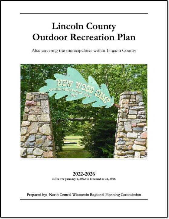
The primary purpose of this outdoor recreation plan is to provide continued direction toward meeting the current and future recreation needs of Lincoln County. This is accomplished through an inventory and analysis of outdoor recreational facilities, asking the public what they are looking for, and the establishment of recommendations to meet identified needs.
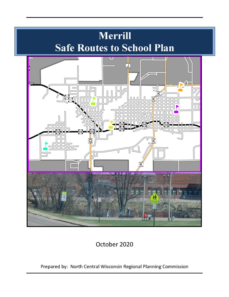
Safe Routes to School (SRTS) programs are an opportunity to make walking and bicycling to school safer for children in grades K-8, and to increase the number of children who choose to walk and bicycle. On a broader level, SRTS programs can enhance children’s health and well-being, ease traffic congestion near the school, and improve community members’ overall quality of life.
Planning Process In 2016, 10 school districts won a WisDOT SRTS planning grant as part of the North Central Wisconsin Regional SRTS Program, administered by NCWRPC. In the fall of 2019-2020, the City of Merrill, and the Merrill School District began SRTS Planning with the assistance of the North Central Wisconsin Regional Planning Commission (NCWRPC). The NCWRPC will guide the Merrill SRTS Task Force through the planning process..
Merrill SRTS Task Force Dr. John Sample, Superintendent, Merrill Area Public Schools (MAPS) Dale Bergman, Director of Buildings and Grounds, MAPS Rebecca Hunter, Mother of a MAPS student Heather Skutak, Jefferson Elementary Principal, MAPS Amy Stutzriem, Kate Goodrich Elementary Principal, MAPS Alex Mashak, Kate Goodrich Elementary Associate Principal, MAPS Trisha Detert, Washington Elementary Principal, MAPS Ryan Martinovici, Prairie River Middle School Principal, MAPS Mark Seaman, Prairie River Middle School Associate Principal, MAPS Megan Kautzer, Merrill High School Associate Principal, MAPS Dan Wendorf, Director of Parks and Recreation, City of Merrill Chief Corey Bennett, City of Merrill Police Officer Mark Heckendorf, Student Resource Officer, City of Merrill Rod Akey, Director of Public Works, City of Merrill Dustin Bonack, Street Superintendent, City of Merrill
Fred Heider, AICP, Planner, North Central Wisconsin Regional Planning Commission
Schools in Merrill SRTS Plan • Jefferson Elementary School (K-5); • Kate Goodrich Elementary School (K-5); • Washington Elementary School (K-5); • Prairie River Middle School (6-8); and • Merrill High School (9-12).
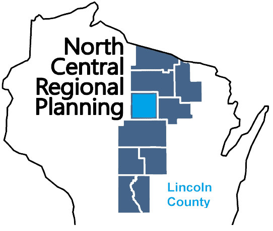
Lincoln County is a county located in northern Wisconsin. As of the 2020 census, the population was 28,415. The county seat is Merrill. Lincoln County was created in 1881 and is named after Abraham Lincoln, the 16th President of the United States. The county is known for its many lakes, forests, and outdoor recreational opportunities, including the Lincoln County Forest, the Wisconsin River and the Ice Age Trail. The county is mostly rural with paper mills and manufacturing being the main industries. The county has several small towns and communities, including Tomahawk, Merrill, and Gleason. The county is also known for its hunting, fishing, and snowmobiling.
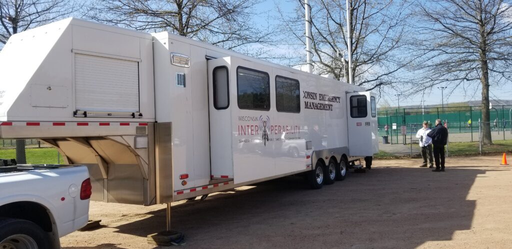
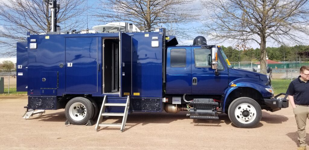
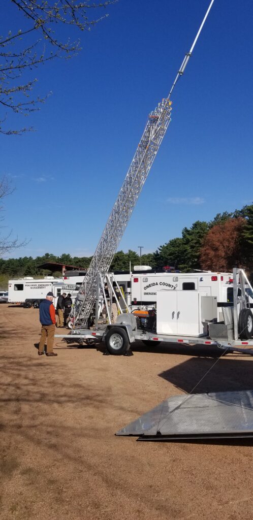
The counties of northeastern Wisconsin have a long history of working cooperatively to address the public safety needs of the area. This latest effort, called the North East Wisconsin Public Safety COMmunications or NEWCOM, will create a group that will identify the communication needs for the area, so the 500 plus law enforcement and public safety organizations can communicate effectively throughout the Region.
The group formed under Intergovernmental Agreement §66.0301, Wis. Stats in 2006
Meetings 2026 February 5th May 7th August 6th November 5th
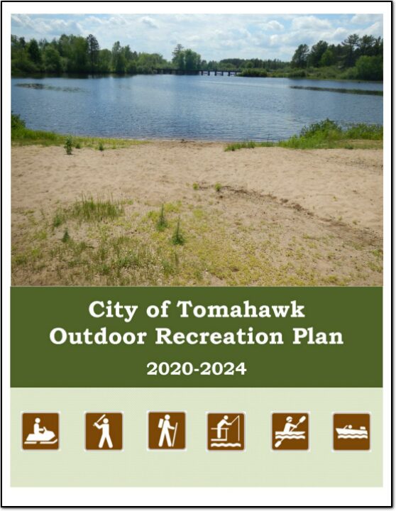
The primary purpose of this outdoor recreation plan is to provide continued direction toward meeting the current and future recreation needs of the City of Tomahawk.
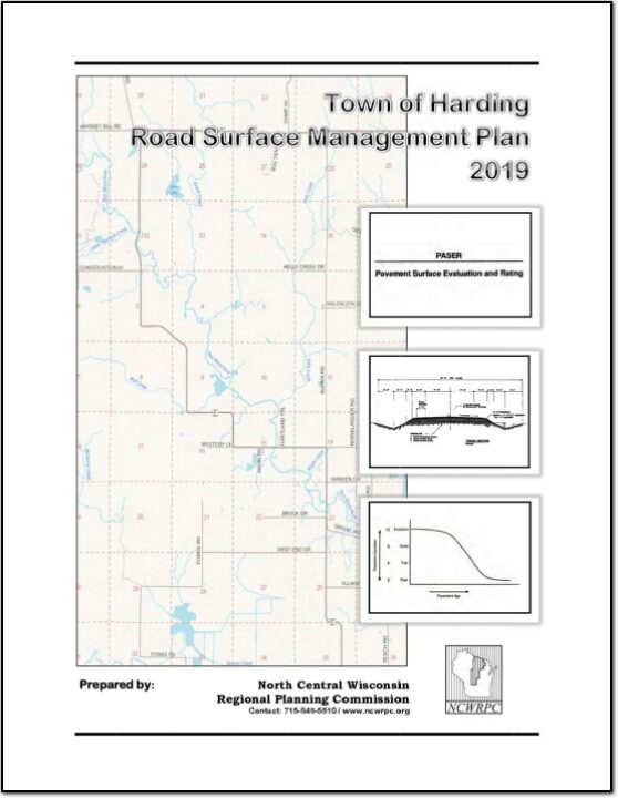
A road surface management plan for a local road network provides a town with the ability to plan for future road surface improvements. With a road surface management plan in place, the limited resources allocated to local roads can be better spent. The overall goal of the Road Surface Management Plan is to help the town make better decisions on the improvements to the local road system. This document contains information vital to the review and rating of the Town of Harding’s highway system. Thus, the Road Surface Management Plan will assist in preserving and rehabilitating the existing town road system in a timely and cost-effective manner.
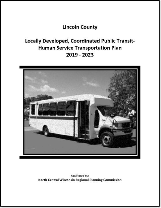
Federal transit law requires that any projects selected for funding under the Section 5310 Enhanced Mobility of Seniors and Individuals with Disabilities (formerly titled Elderly and Disabled Capital Assistance Program) must be derived from a “locally developed, coordinated public transit-human services transportation plan”. This requirement was implemented as part of the SAFETEA-LU legislation and the requirement continues under the new transportation legislation, FAST Act (Fixing America’s Surface Transportation). The purpose of the coordinated planning process is to have stakeholder involvement in the assessment of elderly and disabled transportation, and to provide strategies and goals to improve those transportation alternatives. These coordinated plans were last completed in 2013 and are due to be updated for 2019.