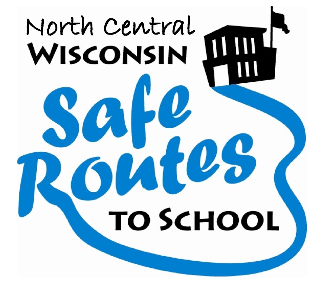
The North Central Wisconsin Regional Planning Commission completed a regional housing assessment for the Town of Rib Mountain, Villages of Kronenwetter, Maine, Marathon City, Rothschild, and Weston, and Cities of Schofield and Wausau. This project uses Census data, real estate data, surveys, and interviews to find out what kinds of housing needs to be built in the region and what communities can do to help.
Town of Eau Pleine Comprehensive Plan 2022
The purpose of a Comprehensive Plan is to guide future growth and development in the Town over the next 10 to 20 years. A comprehensive plan provides the vision and direction for natural resource protection, housing and economic development, transportation and community facilities, land use, intergovernmental relations, and other factors that together form the community’s future. Comprehensive planning was enacted to encourage long-range planning for communities and provide consistency in land use decision making. The Comprehensive Plan is a guide that elected officials, residents, and business owners can use for directing growth and redevelopment in the community. The Comprehensive Plan is a long-range policy document consisting of goals, objectives, and policies prepared to meet the State’s definition of a comprehensive plan as defined under Section 66.1001.

Marathon County Economic Profile 2022
Every few years, NCWRPC updates basic demographic and economic development information in the form of County Profiles, which provide a snapshot of current economic trends and opportunities for economic growth. Included is a map of business park locations where acreage is available as well as contacts for various economic development agencies and programs.
Town of Bevent Comprehensive Plan 2022
The Town of Bevent Comprehensive Plan is a compilation of historical data and community created goals, objectives, policies, and programs that will guide future planning and community decisions for a 20-year period. Comprehensive plans incorporate a twenty-year vision and provide a rational basis for local land use decisions.
The comprehensive plan law (§66.1001 WI Stats.) defines the contents of a local comprehensive plan, which has nine chapters—Issues & Opportunities; Natural, Cultural, & Agricultural Resources; Housing; Transportation; Economic Development; Land Use; Utilities & Community Facilities; Intergovernmental Cooperation; and Implementation. Population, housing, and land use projections are also required in 5-year increments for 20 years. Locally created goals, objectives, and policies are also part of each comprehensive plan chapter.
According to §66.1001 WI Stats., if a town, village, city, or county engages in official mapping, subdivision regulation, or zoning, those actions must be consistent with that community’s comprehensive plan.

Town of Rib Mountain Outdoor Recreation Plan 2022-2026
The primary purpose of this outdoor recreation plan is to provide continued direction toward meeting the current and future recreation needs of the Town of Rib Mountain.
This Outdoor Recreation Plan (ORP) was prepared pursuant to Wisconsin Statute §23.30 Outdoor Recreation Program. This section serves “to promote, encourage, coordinate, and implement a comprehensive long-range plan to acquire, maintain, and develop for public use, those areas of the state best adapted to the development of a comprehensive system of state and local outdoor recreation facilities and services…”

City of Schofield Outdoor Recreation Plan 2022-2026
The primary purpose of this outdoor recreation plan is to provide continued direction toward meeting the current and future recreation needs of the City of Schofield
This Outdoor Recreation Plan (ORP) was prepared pursuant to Wisconsin Statute §23.30 Outdoor Recreation Program. This section serves “to promote, encourage, coordinate, and implement a comprehensive long-range plan to acquire, maintain, and develop for public use, those areas of the state best adapted to the development of a comprehensive system of state and local outdoor recreation facilities and services…”

Marathon County Highway Study
This Marathon County 2050 Highway System Sustainability Study is a planning tool subject to budget appropriation in each County budgeting cycle. Actual revenues and expenditures must be approved by the Marathon County Board in its annual budget.
This study contains the following elements:
- An inventory of all county highways including condition, traffic levels, crashes and other relevant factors.
- An analysis of growth and development information to help determine highway service priorities.
- An analysis of potential future changes to the County Highway System due to anticipated growth or other factors.
- An assessment of necessary maintenance with anticipated expenses accounting for inflation over time. maintenance, including crack filling, chip sealing, resurfacing, reconstruction, etc.
- A breakdown of recommended average funding needed to adequately maintain existing roadways
Wisconsin Regional Orthoimagery Consortium (WROC)
The Wisconsin Regional Orthoimagery Consortium (WROC) is a multi-entity group. The goal of the consortium is to build and sustain a multi-participant program to acquire digital orthoimagery and elevation data throughout Wisconsin. The WROC approach brings a number of potential benefits to participants including cost savings, specifications and standards support, customized datasets, data sharing between members and partners, and procurement support.
Next round
The next round of WROC is underway. North Central Wisconsin Regional Planning Commission (NCWRPC) will once again coordinate and lead the Consortium. In 2021, the RPC extended its agreement with Ayres Associates to facilitate the Consortium and provide geospatial services to its members and partners.
There will be options for participation in 2023, 2024, and 2025. A number of member counties will be going to a 3-year cycle starting in 2023. Another group of counties will fly in 2024.The largest group will participate again in 2025, keeping the consistency of the 5-year cycle. Member counties flying in 2023, 2024, and 2025 will be eligible for partner funding.
The aerial mapping services provided under WROC will continue to evolve to meet the needs of local government members and partner organizations. This will be achieved through a coordinated, county-by-county approach over the next three years, with participation peaking in 2025. Program representatives will work with all private, federal, and state partners to build the program into regional datasets. WROC has a stated goal of achieving statewide coverage by the end of 2025.
WROC representatives will be hosting meetings across the state to discuss the consortium approach and participation options for 2023-25. If you are interested in meeting, please contact program managers Andy Faust or Zach Nienow
Proposed Kowalski Road Interchange Economic Impact Analysis
An economic impact analysis was completed by the North Central Wisconsin
Regional Planning Commission to answer the question, what would be the
economic impact of the proposed interchange at Kowalski Road and Interstate
39 in the Village of Kronenwetter.

Randy Fifrick
Marathon County