Providing Economic Development, Geographic Information Systems, Intergovernmental Cooperation, Land Use Planning and Transportation Assistance since 1973
This Marathon County 2050 Highway System Sustainability Study is a planning tool subject to budget appropriation in each County budgeting cycle. Actual revenues and expenditures must be approved by the Marathon County Board in its annual budget.
This study contains the following elements:
An inventory of all county highways including condition, traffic levels, crashes and other relevant factors.
An analysis of growth and development information to help determine highway service priorities.
An analysis of potential future changes to the County Highway System due to anticipated growth or other factors.
An assessment of necessary maintenance with anticipated expenses accounting for inflation over time. maintenance, including crack filling, chip sealing, resurfacing, reconstruction, etc.
A breakdown of recommended average funding needed to adequately maintain existing roadways
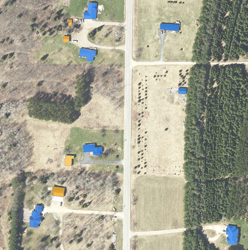
Delineation of building outlines from orthoimagery. Map all buildings from 2020 imagery to be used in county 911 system. Projected project completion June 2022.
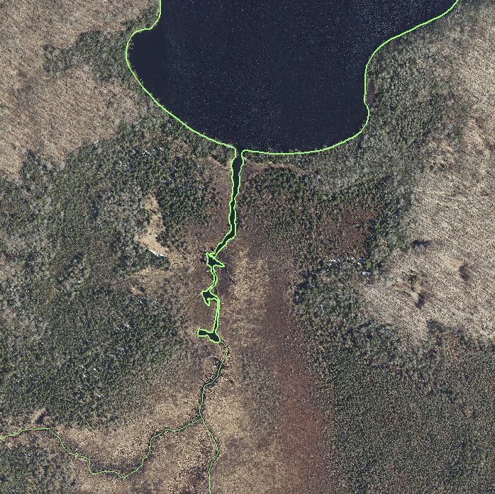
Enhance the Forest County GIS hydrology layer through the utilization of LiDAR and imagery data by the GIS team, ensuring the accurate update of stream and water body delineations. Anticipated project completion by June 2022.
The Wisconsin Regional Orthoimagery Consortium (WROC) is a multi-entity group. The goal of the consortium is to build and sustain a multi-participant program to acquire digital orthoimagery and elevation data throughout Wisconsin. The WROC approach brings a number of potential benefits to participants including cost savings, specifications and standards support, customized datasets, data sharing between members and partners, and procurement support.
The next round of WROC is underway. North Central Wisconsin Regional Planning Commission (NCWRPC) will once again coordinate and lead the Consortium. In 2021, the RPC extended its agreement with Ayres Associates to facilitate the Consortium and provide geospatial services to its members and partners.
There will be options for participation in 2023, 2024, and 2025. A number of member counties will be going to a 3-year cycle starting in 2023. Another group of counties will fly in 2024.The largest group will participate again in 2025, keeping the consistency of the 5-year cycle. Member counties flying in 2023, 2024, and 2025 will be eligible for partner funding.
The aerial mapping services provided under WROC will continue to evolve to meet the needs of local government members and partner organizations. This will be achieved through a coordinated, county-by-county approach over the next three years, with participation peaking in 2025. Program representatives will work with all private, federal, and state partners to build the program into regional datasets. WROC has a stated goal of achieving statewide coverage by the end of 2025.
WROC representatives will be hosting meetings across the state to discuss the consortium approach and participation options for 2023-25. If you are interested in meeting, please contact program managers Andy Faust or Zach Nienow
The primary purpose of this outdoor recreation plan is to provide continued direction toward meeting the current and future recreation needs of the City of Pittsville.
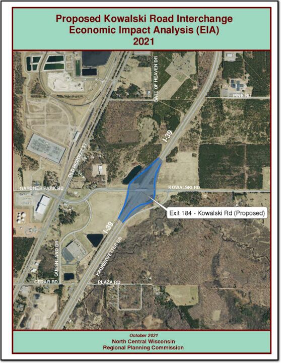
An economic impact analysis was completed by the North Central Wisconsin Regional Planning Commission to answer the question, what would be the economic impact of the proposed interchange at Kowalski Road and Interstate 39 in the Village of Kronenwetter.
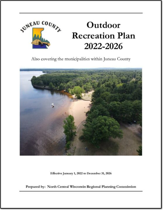
The primary purpose of this recreation plan is to provide continued direction toward meeting the current and future recreation needs of the county. This is accomplished through an inventory and analysis of outdoor recreational facilities, and the establishment of recommendations to meet identified needs.
Adoption of this plan by the Juneau County Board and subsequent acceptance by the Wisconsin Department of Natural Resources (WDNR), will continue eligibility of the county and its local units of government for Land and Water Conservation Fund (LAWCON), and Stewardship Funds. If a municipality wishes to cooperate with Juneau County and use this plan for grant applications it is not necessary for that municipality to adopt the plan individually. Local government grant applications have a better chance of approval if Juneau County applies on their behalf.
Non-profit groups, foundations, and the general public may also use this document to coordinate their own private efforts for developing outdoor recreation facilities.
This Outdoor Recreation Plan (ORP) was prepared pursuant to Wisconsin Statute §23.30 Outdoor Recreation Program. This section serves “to promote, encourage, coordinate, and implement a comprehensive long-range plan to acquire, maintain, and develop for public use, those areas of the state best adapted to the development of a comprehensive system of state and local outdoor recreation facilities and services…”
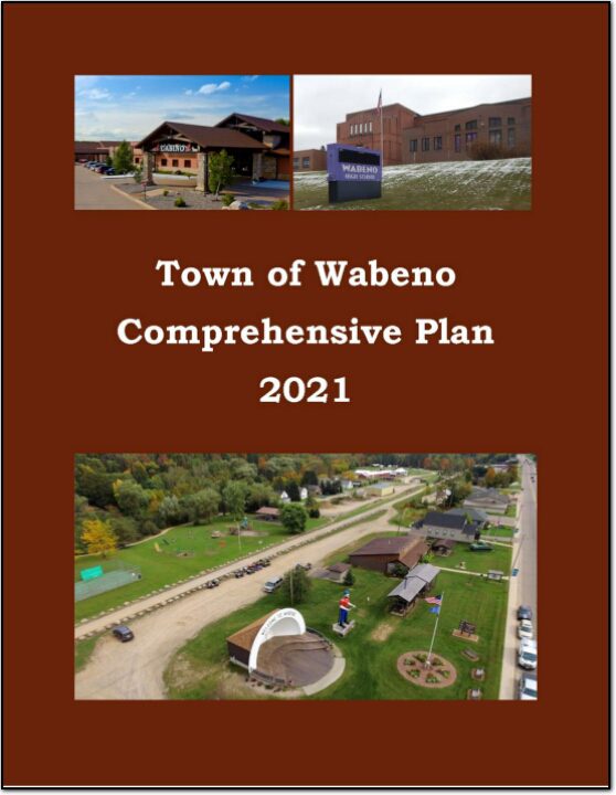
In the fall of 2020, the Town initiated a process to update its 2010 plan. The state planning law – 66.1001 – requires that a comprehensive plan be updated every ten years. A variety of Plan Commission meetings were held over the course of 2020 and 2021 to prepare the plan. A final Plan Commission meeting was held in early 2021 to review the final draft and recommend adoption of the plan by the Town Board.
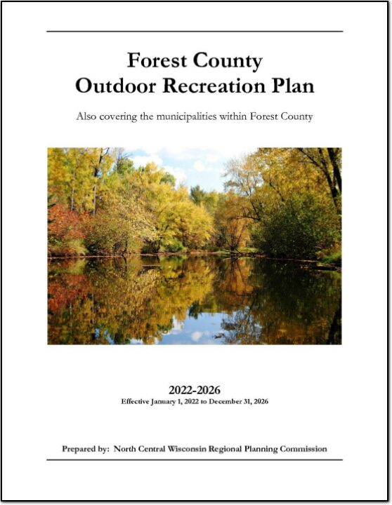
The primary purpose of this outdoor recreation plan is to provide continued direction toward meeting the current and future recreation needs of Forest County. This is accomplished through an inventory and analysis of outdoor recreational facilities, asking the public what they are looking for, and the establishment of recommendations to meet identified needs.