Providing Economic Development, Geographic Information Systems, Intergovernmental Cooperation, Land Use Planning and Transportation Assistance since 1973
The primary purpose of this recreation plan is to provide continued direction toward meeting the current and future recreation needs of the county. This is accomplished through an inventory and analysis of outdoor recreational facilities, and the establishment of recommendations to meet identified needs.
This Outdoor Recreation Plan (ORP) was prepared pursuant to Wisconsin Statute §23.30 Outdoor Recreation Program. This section serves “to promote, encourage, coordinate, and implement a comprehensive long-range plan to acquire, maintain, and develop for public use, those areas of the state best adapted to the development of a comprehensive system of state and local outdoor recreation facilities and services…”
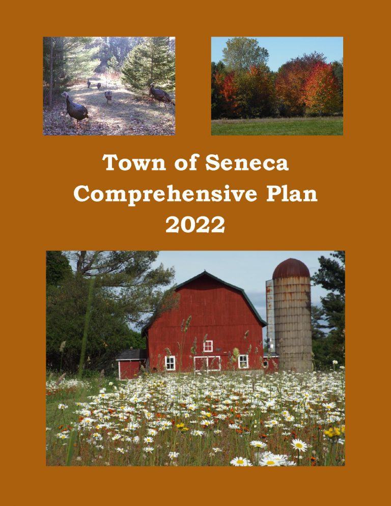
The purpose of a Comprehensive Plan is to guide future growth and development in the Town over the next 10 to 20 years. A comprehensive plan provides the vision and direction for natural resource protection, housing and economic development, transportation and community facilities, land use, intergovernmental relations, and other factors that together form the community’s future. Comprehensive planning was enacted to encourage long-range planning for communities and provide consistency in land use decision making. The Comprehensive Plan is a guide that elected officials, residents, and business owners can use for directing growth and redevelopment in the community. The Comprehensive Plan is a long-range policy document consisting of goals, objectives, and policies prepared to meet the State’s definition of a comprehensive plan as defined under Section 66.1001.
The Town of Clearfield’s Comprehensive Plan guides the future growth, development and enhancement of the Town for the next 10 to 20 years. This plan incorporates more than just future land uses, but also direction for housing and neighborhood development, economic development, transportation, community facilities, protection of natural resources and intergovernmental cooperation. These crucial elements among others will shape the future of the Town.
Safe Routes to School (SRTS) programs are an opportunity to make walking and bicycling to school safer for children in grades K-8, and to increase the number of children who choose to walk and bicycle. On a broader level, SRTS programs can enhance children’s health and well-being, ease traffic congestion near the school, and improve community members’ overall quality of life.
Planning Process In 2016, 10 school districts won a WisDOT SRTS planning grant as part of the Northcentral Wisconsin Regional SRTS Program, administered by NCWRPC.
In the fall of 2019-2020, the Lac du Flambeau School District, the Lac du Flambeau Tribe, and the Town of Lac du Flambeau began SRTS Planning with the assistance of the North Central Wisconsin Regional Planning Commission (NCWRPC). The NCWRPC will guide the Lac du Flambeau SRTS Task Force through the planning process.
The following school is part of SRTS planning: – Lac du Flambeau Elementary School (K-8).
Safe Routes to School (SRTS) programs are an opportunity to make walking and bicycling to school safer for children in grades K-8, and to increase the number of children who choose to walk and bicycle. On a broader level, SRTS programs can enhance children’s health and well-being, ease traffic congestion near the school, and improve community members’ overall quality of life.
Planning Process In 2016, 10 school districts won a WisDOT SRTS planning grant as part of the North Central Wisconsin Regional SRTS Program, administered by NCWRPC. In the fall of 2019-2020, the City of Merrill, and the Merrill School District began SRTS Planning with the assistance of the North Central Wisconsin Regional Planning Commission (NCWRPC). The NCWRPC will guide the Merrill SRTS Task Force through the planning process..
Merrill SRTS Task Force Dr. John Sample, Superintendent, Merrill Area Public Schools (MAPS) Dale Bergman, Director of Buildings and Grounds, MAPS Rebecca Hunter, Mother of a MAPS student Heather Skutak, Jefferson Elementary Principal, MAPS Amy Stutzriem, Kate Goodrich Elementary Principal, MAPS Alex Mashak, Kate Goodrich Elementary Associate Principal, MAPS Trisha Detert, Washington Elementary Principal, MAPS Ryan Martinovici, Prairie River Middle School Principal, MAPS Mark Seaman, Prairie River Middle School Associate Principal, MAPS Megan Kautzer, Merrill High School Associate Principal, MAPS Dan Wendorf, Director of Parks and Recreation, City of Merrill Chief Corey Bennett, City of Merrill Police Officer Mark Heckendorf, Student Resource Officer, City of Merrill Rod Akey, Director of Public Works, City of Merrill Dustin Bonack, Street Superintendent, City of Merrill
Fred Heider, AICP, Planner, North Central Wisconsin Regional Planning Commission
Schools in Merrill SRTS Plan • Jefferson Elementary School (K-5); • Kate Goodrich Elementary School (K-5); • Washington Elementary School (K-5); • Prairie River Middle School (6-8); and • Merrill High School (9-12).
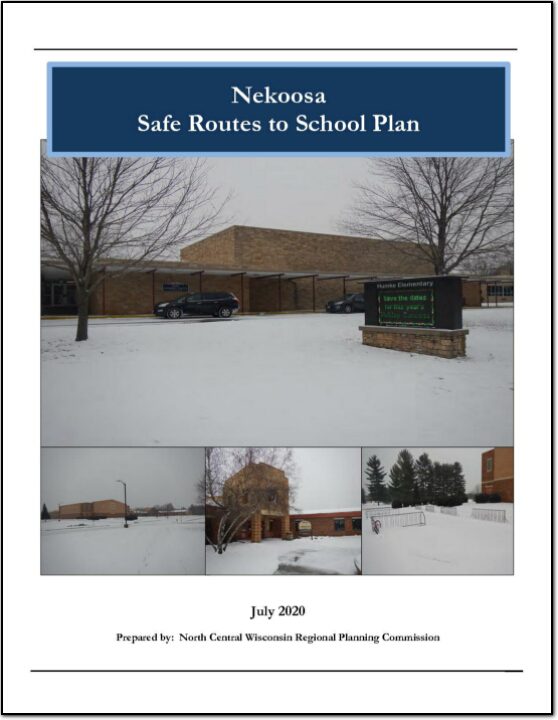
This plan was developed by NCWRPC in conjunction with the Nekoosa School District, City of Nekoosa, and the Nekoosa SRTS Task Force as part of the North Central Wisconsin Regional Safe Routes to School Program. This Regional program was made possible in part by a Transportation Alternatives Program grant from the Wisconsin Department of Transportation. Additional funding was provided by the NCWRPC.
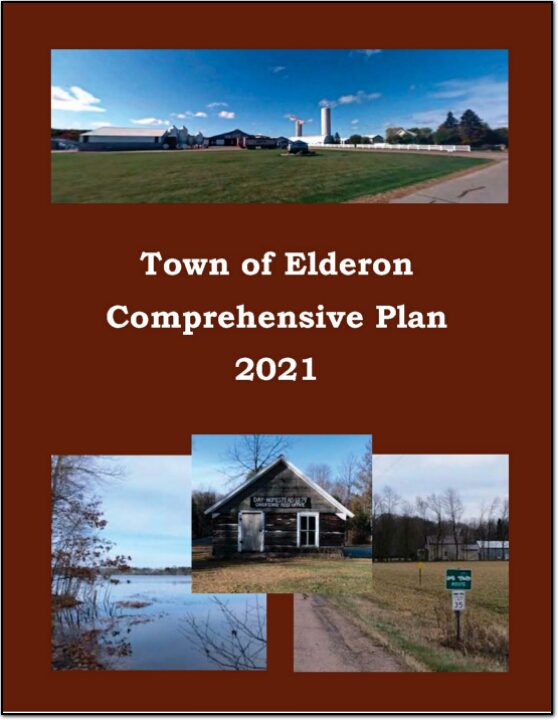
The Town of Elderon’s Comprehensive Plan guides the future growth, development and enhancement of the Town for the next 10 to 20 years. This plan incorporates more than just future land uses, but also direction for housing and neighborhood development, economic development, transportation, community facilities, protection of natural resources and intergovernmental cooperation. These crucial elements among others will shape the future of the Town.
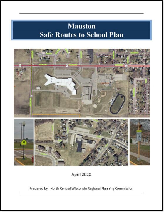
This plan was developed by NCWRPC in conjunction with the City of Mauston, Mauston School District, and the Mauston SRTS Task Force as part of the North Central Wisconsin Regional Safe Routes to School Program. This Regional program was made possible in part by a Transportation Alternatives Program grant from the Wisconsin Department of Transportation. Additional funding provided by the NCWRPC.
This plan was developed by NCWRPC in conjunction with the Stratford School District and the Stratford Area SRTS Task Force as part of the North Central Wisconsin Regional Safe Routes to School Program. This Regional program was made possible in part by a Transportation Alternatives Program grant from the Wisconsin Department of transportation. Additional funding provided by the NCWRPC.
Safe Routes to School is a nationwide effort to increase the safety and health of children walking or bicycling to and from school. Nationally, walking and bicycling to school is viewed as a realistic way for children to achieve higher levels of daily physical activity and for communities to reduce the number and speed of vehicles in school zones.