The purpose of a Comprehensive Plan is to guide future growth and development in the Town over the next 10 to 20 years. A comprehensive plan provides the vision and direction for natural resource protection, housing and economic development, transportation and community facilities, land use, intergovernmental relations, and other factors that together form the community’s future. Comprehensive planning was enacted to encourage long-range planning for communities and provide consistency in land use decision making. The Comprehensive Plan is a guide that elected officials, residents, and business owners can use for directing growth and redevelopment in the community. The Comprehensive Plan is a long-range policy document consisting of goals, objectives, and policies prepared to meet the State’s definition of a comprehensive plan as defined under Section 66.1001.
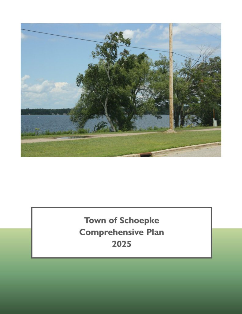
Town of Schoepke Comprehensive Plan 2025
The purpose of a Comprehensive Plan is to guide future growth and development in the Town over the next 10 to 20 years. A comprehensive plan provides the vision and direction for natural resource protection, housing and economic development, transportation and community facilities, land use, intergovernmental relations, and other factors that together form the community’s future. Comprehensive planning was enacted to encourage long-range planning for communities and provide consistency in land use decision making. The Comprehensive Plan is a guide that elected officials, residents, and business owners can use for directing growth and redevelopment in the community. The Comprehensive Plan is a long-range policy document consisting of goals, objectives, and policies prepared to meet the State’s definition of a comprehensive plan as defined under Section 66.1001.
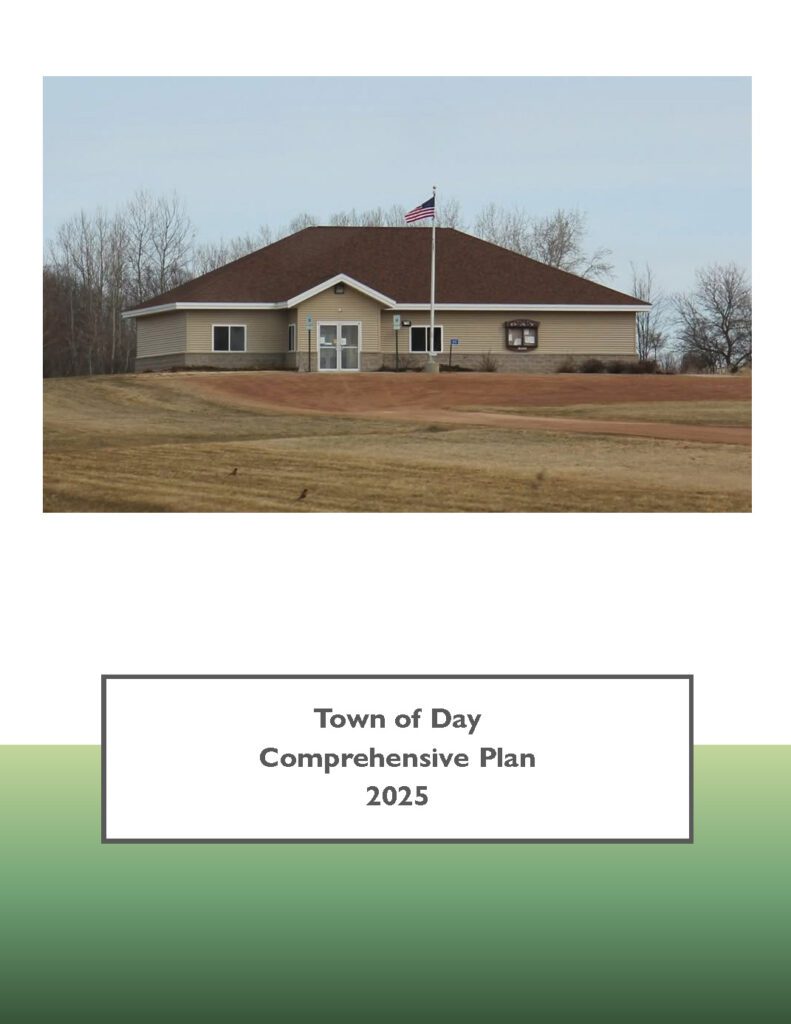
Town of Day Comprehensive Plan 2025
The purpose of a Comprehensive Plan is to guide future growth and development in the Town over the next 10 to 20 years. A comprehensive plan provides the vision and direction for natural resource protection, housing and economic development, transportation and community facilities, land use, intergovernmental relations, and other factors that together form the community’s future. Comprehensive planning was enacted to encourage long-range planning for communities and provide consistency in land use decision making. The Comprehensive Plan is a guide that elected officials, residents, and business owners can use for directing growth and redevelopment in the community. The Comprehensive Plan is a long-range policy document consisting of goals, objectives, and policies prepared to meet the State’s definition of a comprehensive plan as defined under Section 66.1001.
Centergy Regional Housing Study 2025
In 2025, Centergy, Inc. worked with the North Central Wisconsin Regional Planning Commission (NCWRPC) to produce this study in response to growing concerns over housing affordability. This study recommends a variety of strategies and programs that each individual community may explore depending on their own needs to encourage the construction and rehabilitation of needed housing, along with recommendations for a possible Regional Housing Fund. The Centergy Region includes Adams, Lincoln, Marathon, Portage, and Wood Counties.
Upper Wisconsin River Basin Summit Report
The North Central Wisconsin Regional Planning Commission (NCWRPC) began meeting with the River Alliance of Wisconsin and the Wisconsin Department of Natural Resources (WDNR) in the fall of 2023 to discuss the potential for the development of a watershed plan for the Wisconsin River Basin.

NCWRPC News Spring 2025 – Issue 86
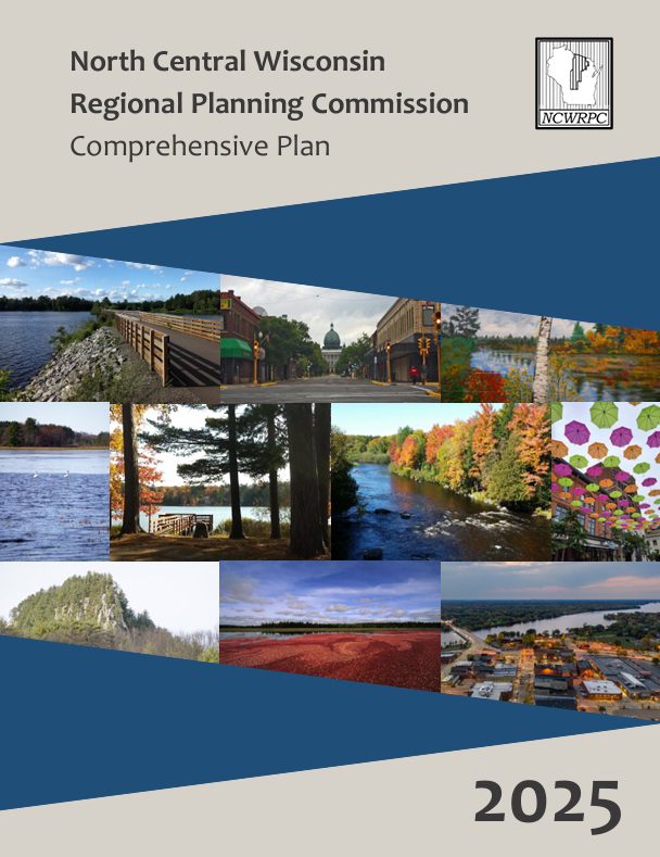
Regional Comprehensive Plan 2025
This regional comprehensive plan, adopted October 29, 2025, meets Wisconsin State Statutes 66.1001, which requires regional and local comprehensive plans to be updated every 10 years. It guides the development of North Central Wisconsin and provides local comprehensive plans with data and strategies to address opportunities and issues facing the 10-county region.
Oneida County Housing Study 2025
The Oneida County Housing Study examines which prices, configurations, and styles of housing are needed the most along with a list of strategies the County and its municipalities can use to maintain existing housing stock while expanding the availability of new construction countywide. Oneida County Economic Development Corporation partnered with NCWRPC to conduct this study.
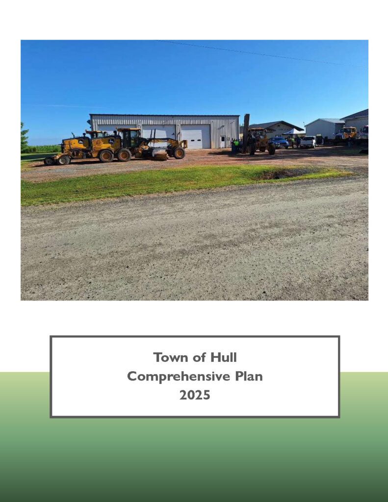
Town of Hull Comprehensive Plan 2025
The purpose of a Comprehensive Plan is to guide future growth and development in the Town over the next 10 to 20 years. A comprehensive plan provides the vision and direction for natural resource protection, housing and economic development, transportation and community facilities, land use, intergovernmental relations, and other factors that together form the community’s future. Comprehensive planning was enacted to encourage long-range planning for communities and provide consistency in land use decision making. The Comprehensive Plan is a guide that elected officials, residents, and business owners can use for directing growth and redevelopment in the community. The Comprehensive Plan is a long-range policy document consisting of goals, objectives, and policies prepared to meet the State’s definition of a comprehensive plan as defined under Section 66.1001.
Adams County Housing Study 2025
In 2024, Adams County Economic Development (ACED), in partnership with the Adams County Housing Committee and the United States Department of Agriculture (USDA) Rural Partners Network (RPN) worked with the North Central Wisconsin Regional Planning Commission (NCWRPC) to produce this study in response to growing concerns over housing affordability. The Local Initiatives Support Coalition (LISC) and Wisconsin Economic Development Corporation (WEDC) soon partnered with ACED and Adams County to further enhance this project.
This project consisted of robust data collection, public surveys, public open houses, and stakeholder interviews to understand which housing types are highest in demand, and what barriers prevent an adequate supply of desired housing. This study recommends a variety of strategies and programs that each individual community may explore depending on their own needs to encourage the construction and rehabilitation of needed housing.