The Oneida County Housing Study examines which prices, configurations, and styles of housing are needed the most along with a list of strategies the County and its municipalities can use to maintain existing housing stock while expanding the availability of new construction countywide. Oneida County Economic Development Corporation partnered with NCWRPC to conduct this study.
Town of Hull Comprehensive Plan 2025
The purpose of a Comprehensive Plan is to guide future growth and development in the Town over the next 10 to 20 years. A comprehensive plan provides the vision and direction for natural resource protection, housing and economic development, transportation and community facilities, land use, intergovernmental relations, and other factors that together form the community’s future. Comprehensive planning was enacted to encourage long-range planning for communities and provide consistency in land use decision making. The Comprehensive Plan is a guide that elected officials, residents, and business owners can use for directing growth and redevelopment in the community. The Comprehensive Plan is a long-range policy document consisting of goals, objectives, and policies prepared to meet the State’s definition of a comprehensive plan as defined under Section 66.1001.
Adams County Housing Study 2025
In 2024, Adams County Economic Development (ACED), in partnership with the Adams County Housing Committee and the United States Department of Agriculture (USDA) Rural Partners Network (RPN) worked with the North Central Wisconsin Regional Planning Commission (NCWRPC) to produce this study in response to growing concerns over housing affordability. The Local Initiatives Support Coalition (LISC) and Wisconsin Economic Development Corporation (WEDC) soon partnered with ACED and Adams County to further enhance this project.
This project consisted of robust data collection, public surveys, public open houses, and stakeholder interviews to understand which housing types are highest in demand, and what barriers prevent an adequate supply of desired housing. This study recommends a variety of strategies and programs that each individual community may explore depending on their own needs to encourage the construction and rehabilitation of needed housing.
Port Edwards Safe Routes To School
Safe Routes to School (SRTS) programs are an opportunity to make walking and bicycling to school safer for children in grades K-12, and to increase the number of children who choose to walk and bicycle. On a broader level, SRTS programs can enhance children’s health and well-being, ease traffic congestion near the school, and improve community members’ overall quality of life.
Planning Process
In 2022, the North Central Wisconsin Regional Planning Commission and Port Edwards School District won a WisDOT SRTS planning grant to create a SRTS Plan for Ed Heuer Elementary School and John Edwards Middle/High School. In the fall of 2024, Port Edwards School District pulled out of the grant and the Village of Port Edwards continued SRTS planning with the assistance of the North Central Wisconsin Regional Planning Commission (NCWRPC). The NCWRPC guided the Village through the planning process.
Port Edwards Planning, Property & Legislative Committee
Rick Hess, Chairperson
Eric Hummel
Betsy Mancl
Rob O’Connor
Staff for this SRTS Plan
Ben Martinson, Public Works Director
Fred Heider, AICP, Planner, North Central Wisconsin Regional Planning Commission
–
.
Make questions or comments about the planning here.
(Email link to submit comments on this plan.)
DC Everest Safe Routes To School – 2027
Safe Routes to School (SRTS) programs are an opportunity to make walking and bicycling to school safer for children in grades K-12, and to increase the number of children who choose to walk and bicycle. On a broader level, SRTS programs can enhance children’s health and well-being, ease traffic congestion near the school, and improve community members’ overall quality of life.
Planning Process and Schedule
In 2024, the D.C. Everest Area School District won a WisDOT SRTS planning grant to create a SRTS Plan for each public school in the District. The Weston Elementary SRTS Plan was created in 2024. The D.C. Everest Junior High SRTS Plan was created in 2009.
Spring 2026 – D.C. Everest Area School District to perform transportation surveys (e.g., Student Tallies & Parent Surveys).
Fall 2026 – The D.C. Everest Area School District and local governments that the District operates in to begin SRTS planning with the assistance of the North Central Wisconsin Regional Planning Commission (NCWRPC). The NCWRPC is guiding the D.C. Everest SRTS Task Force through the planning process.
Spring & summer 2027 – Data collection and SRTS planning to continue. Further analysis with the SRTS Task Force will occur throughout the 2026-2027 school year.
Plan review and revision will occur throughout spring & summer 2027.
Plan adoption is anticipated in fall 2027.
Implementation of the D.C. Everest SRTS Plan can begin anytime after adoption, and throughout many years later.
Schools in D.C. Everest SRTS Plan:
Evergreen Elementary (K-5)
Hatley Elementary (K-5)
Mountain Bay Elementary (K-5)
Riverside Elementary (K-5)
Rothschild Elementary (3K, K-5)
D.C. Everest Middle School (6-7)
D.C. Everest High School (10-12)
Evergreen Elementary (grades K-5)
Map 3A – Site Assessment (Not available yet.)
Map 4A – Transportation (Not available yet.)
Map 5A – School Routes (Not available yet.)
Map 6A – Recommendations (Not available yet.)
DRAFT – Evergreen Elementary SRTS Action Plan (Not available yet.)
Hatley Elementary (grades K-5)
Map 3A – Site Assessment (Not available yet.)
Map 4A – Transportation (Not available yet.)
Map 5A – School Routes (Not available yet.)
Map 6A – Recommendations (Not available yet.)
DRAFT – Hatley Elementary SRTS Action Plan (Not available yet.)
Mountain Bay Elementary (grades K-5)
Map 3A – Site Assessment (Not available yet.)
Map 4A – Transportation (Not available yet.)
Map 5A – School Routes (Not available yet.)
Map 6A – Recommendations (Not available yet.)
DRAFT – Mountain Bay Elementary SRTS Action Plan (Not available yet.)
Riverside Elementary (grades K-5)
Map 3A – Site Assessment (Not available yet.)
Map 4A – Transportation (Not available yet.)
Map 5A – School Routes (Not available yet.)
Map 6A – Recommendations (Not available yet.)
DRAFT – Riverside Elementary SRTS Action Plan (Not available yet.)
Rothschild Elementary (grades 3K, K-5)
Map 3A – Site Assessment (Not available yet.)
Map 4A – Transportation (Not available yet.)
Map 5A – School Routes (Not available yet.)
Map 6A – Recommendations (Not available yet.)
DRAFT – Rothschild Elementary SRTS Action Plan (Not available yet.)
D.C. Everest Middle School (grades 6-7)
Map 3A – Site Assessment (Not available yet.)
Map 4A – Transportation (Not available yet.)
Map 5A – School Routes (Not available yet.)
Map 6A – Recommendations (Not available yet.)
DRAFT – D.C. Everest Middle School SRTS Action Plan (Not available yet.)
D.C. Everest High School (grades 10-12)
Map 3A – Site Assessment (Not available yet.)
Map 4A – Transportation (Not available yet.)
Map 5A – School Routes (Not available yet.)
Map 6A – Recommendations (Not available yet.)
DRAFT – D.C. Everest High School SRTS Action Plan (Not available yet.)
Make questions or comments about the planning here.
(Email link to submit comments on this plan.)
Antigo Safe Routes To School – 2027
Safe Routes to School (SRTS) programs are an opportunity to make walking and bicycling to school safer for children in grades K-12, and to increase the number of children who choose to walk and bicycle. On a broader level, SRTS programs can enhance children’s health and well-being, ease traffic congestion near the school, and improve community members’ overall quality of life.
Planning Process and Schedule
In 2024, the City of Antigo and the Unified School District of Antigo won a WisDOT SRTS planning grant to create a SRTS Plan for each public school in the District.
Spring 2026 – Unified School District of Antigo to perform transportation surveys (e.g., Student Tallies & Parent Surveys).
Fall 2026 – The City of Antigo and the Unified School District of Antigo to begin SRTS planning with the assistance of the North Central Wisconsin Regional Planning Commission (NCWRPC). The NCWRPC is guiding the Antigo SRTS Task Force through the planning process.
Spring & summer 2027 – Data collection and SRTS planning to continue. Further analysis with the SRTS Task Force will occur throughout the 2026-2027 school year.
Plan review and revision will occur throughout spring & summer 2027.
Plan adoption is anticipated in fall 2027.
Implementation of the Antigo SRTS Plan can begin anytime after adoption, and throughout many years later.
Schools in Antigo SRTS Plan:
North Elementary (4K-3)
West Elementary (4K-3)
John H Bradley Elementary (K-4, replacing both North & West)
Antigo Middle School (5-8)
Antigo High School (9-12)
East Elementary (grades 4K-3)
Map 3A – Site Assessment (Not available yet.)
Map 4A – Transportation (Not available yet.)
Map 5A – School Routes (Not available yet.)
Map 6A – Recommendations (Not available yet.)
DRAFT – East Elementary SRTS Action Plan (Not available yet.)
North Elementary (grades 4K-3)
Map 3A – Site Assessment (Not available yet.)
Map 4A – Transportation (Not available yet.)
Map 5A – School Routes (Not available yet.)
Map 6A – Recommendations (Not available yet.)
DRAFT – North Elementary SRTS Action Plan (Not available yet.)
West Elementary (grades 4K-3)
Map 3A – Site Assessment (Not available yet.)
Map 4A – Transportation (Not available yet.)
Map 5A – School Routes (Not available yet.)
Map 6A – Recommendations (Not available yet.)
DRAFT – West Elementary SRTS Action Plan (Not available yet.)
Antigo Middle School (grades 4-7)
Map 3A – Site Assessment (Not available yet.)
Map 4A – Transportation (Not available yet.)
Map 5A – School Routes (Not available yet.)
Map 6A – Recommendations (Not available yet.)
DRAFT – Antigo Middle School SRTS Action Plan (Not available yet.)
Antigo High School (grades 8-12)
Map 3A – Site Assessment (Not available yet.)
Map 4A – Transportation (Not available yet.)
Map 5A – School Routes (Not available yet.)
Map 6A – Recommendations (Not available yet.)
DRAFT – Antigo High School SRTS Action Plan (Not available yet.)
Make questions or comments about the planning here.
(Email link to submit comments on this plan.)
Tomahawk Safe Routes To School – 2026
Safe Routes to School (SRTS) programs are an opportunity to make walking and bicycling to school safer for children in grades K-12, and to increase the number of children who choose to walk and bicycle. On a broader level, SRTS programs can enhance children’s health and well-being, ease traffic congestion near the school, and improve community members’ overall quality of life.
Planning Process and Schedule
In 2024, the City of Tomahawk, St Mary Catholic School, and the School District of Tomahawk won a WisDOT SRTS planning grant to create a SRTS Plan for each public school in the District.
Spring 2025 – School District of Tomahawk and St Mary Catholic School to perform transportation surveys (e.g., Student Tallies & Parent Surveys).
Spring 2026 – The City of Tomahawk, St Mary Catholic School, and the School District of Tomahawk to begin SRTS Planning with the assistance of the North Central Wisconsin Regional Planning Commission (NCWRPC). The NCWRPC is guiding the Tomahawk SRTS Task Force through the planning process.
Spring 2026 – Data collection to occur. Further analysis with the SRTS Task Force will occur throughout 2026.
Plan development to occur in 2026.
Plan review and revision will occur throughout the summer & fall 2026.
Plan adoption is anticipated in fall/winter 2026.
Implementation of the Tomahawk SRTS Plan can begin anytime after adoption, and through many years later.
Schools in Tomahawk SRTS Plan:
St Mary Catholic School (PK-5)
Tomahawk Elementary (4K-5)
Tomahawk Middle School (6-8)
Tomahawk High School (9-12)
St Mary Catholic School (grades PK-5)
Map 3A – Site Assessment (Not available yet.)
Map 4A – Transportation (Not available yet.)
Map 5A – School Routes (Not available yet.)
Map 6A – Recommendations (Not available yet.)
DRAFT – St Mary SRTS Action Plan (Not available yet.)
Tomahawk Elementary (grades 4K-5)
Map 3A – Site Assessment (Not available yet.)
Map 4A – Transportation (Not available yet.)
Map 5A – School Routes (Not available yet.)
Map 6A – Recommendations (Not available yet.)
DRAFT – Tomahawk Elementary SRTS Action Plan (Not available yet.)
Tomahawk Middle School (grades 6-8)
Map 3A – Site Assessment (Not available yet.)
Map 4A – Transportation (Not available yet.)
Map 5A – School Routes (Not available yet.)
Map 6A – Recommendations (Not available yet.)
DRAFT – Tomahawk Middle School SRTS Action Plan (Not available yet.)
Tomahawk High School (grades 9-12)
Map 3A – Site Assessment (Not available yet.)
Map 4A – Transportation (Not available yet.)
Map 5A – School Routes (Not available yet.)
Map 6A – Recommendations (Not available yet.)
DRAFT – Tomahawk High School SRTS Action Plan (Not available yet.)
Make questions or comments about the planning here.
(Email link to submit comments on this plan.)
Elroy & Royall Safe Routes To School – 2027
Safe Routes to School (SRTS) programs are an opportunity to make walking and bicycling to school safer for children in grades K-12, and to increase the number of children who choose to walk and bicycle. On a broader level, SRTS programs can enhance children’s health and well-being, ease traffic congestion near the school, and improve community members’ overall quality of life.
Planning Process and Schedule
In 2024, the City of Elroy and the Royall School District won a WisDOT SRTS planning grant to create a SRTS Plan for each public school in the District.
Spring 2025 – Royall School District to perform transportation surveys (e.g., Student Tallies & Parent Surveys).
Spring 2026 – The City of Elroy and the Royall School District to begin SRTS Planning with the assistance of the North Central Wisconsin Regional Planning Commission (NCWRPC). The NCWRPC is guiding the Royall & Elroy SRTS Task Force through the planning process.
Spring 2026 – Data collection to occur. Further analysis with the SRTS Task Force will occur throughout 2026.
Plan development to occur in 2026.
Plan review and revision will occur throughout the summer & fall 2026.
Plan adoption is anticipated in fall/winter 2026.
Implementation of the Royall & Elroy SRTS Plan can begin anytime after adoption, and through many years later.
Schools in Elroy & Royall SRTS Plan:
Royall Elementary (PK-3)
Royall Intermediate (4-6)
Royall Middle School (7-8)
Royall Elementary (grades PK-3)
Map 3A – Site Assessment (Not available yet.)
Map 4A – Transportation (Not available yet.)
Map 5A – School Routes (Not available yet.)
Map 6A – Recommendations (Not available yet.)
DRAFT – Royall Elementary SRTS Action Plan (Not available yet.)
Royall Intermediate (grades 4-6)
Map 3A – Site Assessment (Not available yet.)
Map 4A – Transportation (Not available yet.)
Map 5A – School Routes (Not available yet.)
Map 6A – Recommendations (Not available yet.)
DRAFT – Royall Intermediate SRTS Action Plan (Not available yet.)
Royall Middle School (grades 7-8)
Map 3A – Site Assessment (Not available yet.)
Map 4A – Transportation (Not available yet.)
Map 5A – School Routes (Not available yet.)
Map 6A – Recommendations (Not available yet.)
DRAFT – Royall Middle School SRTS Action Plan (Not available yet.)
Make questions or comments about the planning here.
(Email link to submit comments on this plan.)
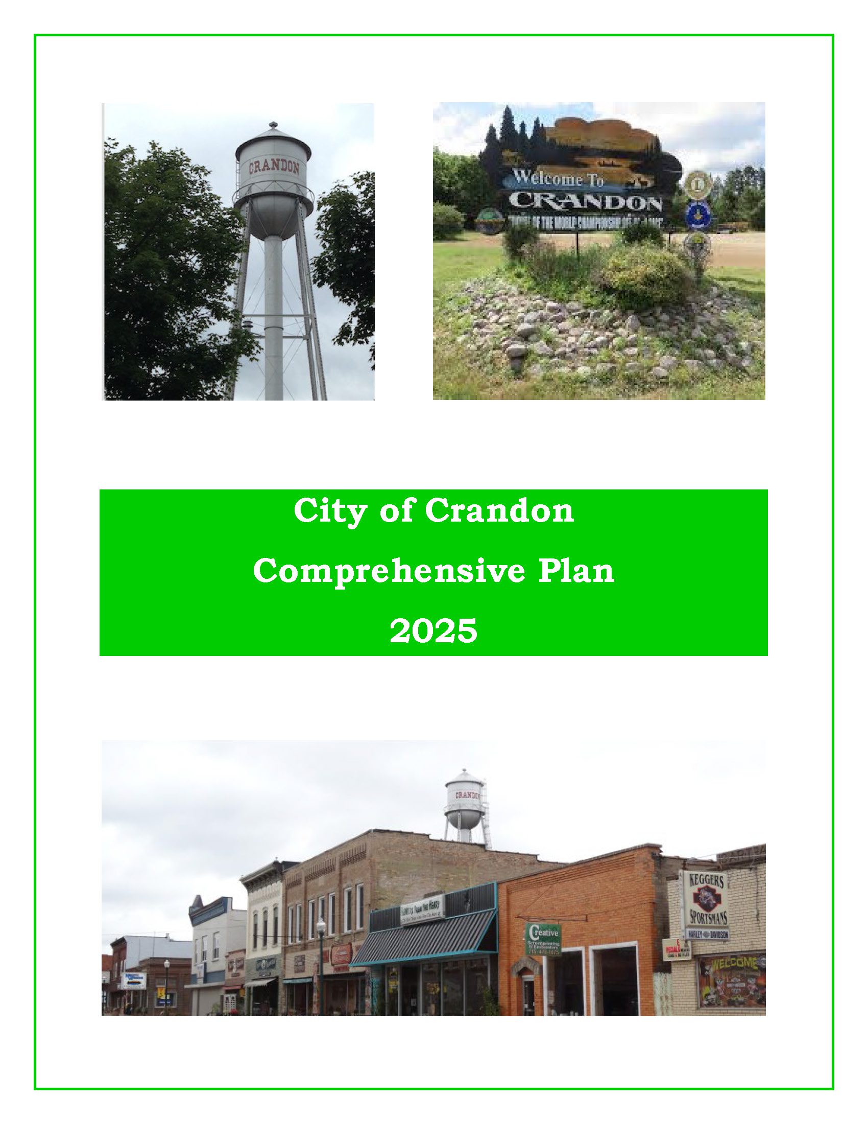
City of Crandon Comprehensive Plan – 2025
The purpose of a Comprehensive Plan is to guide future growth and development in the City over the next 10 to 20 years. A comprehensive plan provides the vision and direction for natural resource protection, housing and economic development, transportation and community facilities, land use, intergovernmental relations, and other factors that together form the community’s future. Comprehensive planning was enacted to encourage long-range planning for communities and provide consistency in land use decision making. The Comprehensive Plan is a guide that elected officials, residents, and business owners can use for directing growth and redevelopment in the community. The Comprehensive Plan is a long-range policy document consisting of goals, objectives, and policies prepared to meet the State’s definition of a comprehensive plan as defined under Section 66.1001.
Langlade County Outdoor Recreation Survey 2026