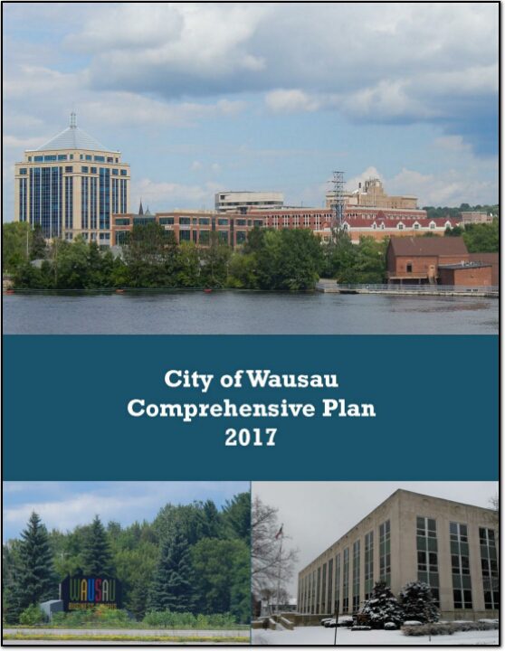
Wausau Safe Routes To School

Safe Routes to School (SRTS) programs are an opportunity to make walking and bicycling to school safer for children in grades K-8, and to increase the number of children who choose to walk and bicycle. On a broader level, SRTS programs can enhance children’s health and well-being, ease traffic congestion near the school, and improve community members’ overall quality of life.

Planning Process and Schedule

In 2018, the City of Wausau and the Wausau School District won a WisDOT SRTS planning grant to create a SRTS Plan.

In the fall of 2021, the City of Wausau and the Wausau School District began SRTS Planning with the assistance of the North Central Wisconsin Regional Planning Commission (NCWRPC). The NCWRPC is guiding the Wausau SRTS Task Force through the planning process.

Data collection occurred in spring & summer 2022. Further analysis with the SRTS Task Force will occur throughout the 2022-2023 school year.

Plan development occurred in 2023.

Plan review and revision will occur throughout the 2023-2024 school year.

Plan adoption is anticipated in spring 2024.

Implementation of the Wausau SRTS Plan can begin anytime therafter into many years later.

ResourcesPedestrian SafetyBicycle SafetySRTS PSAs

(Not available yet.) DRAFT Wausau Safe Routes To School (SRTS) Plan
DRAFT – ________________ verson

Schools in Wausau SRTS Plan:

John Muir Middle School
Thomas Jefferson Elementary
Grant Elementary
G.D. Jones Elementary
Lincoln Elementary

Horace Mann Middle School
Riverview Elementary
Franklin Elementary
Hawthron Hills Elementary
John Marshall Elementary

Make questions or comments about the planning here.
(Email link to submit comments on this plan.)

Stevens Point Urban Area Sewer Service Area Plan 2040 Update

This report is intended to update and replace the previous, Urban Area Sewer Service Plan for the City of Stevens Point and surrounding urban area. These types of plans are also known as areawide water quality management plans.

The general purpose of this areawide water quality management plan, herein referred to as Sewer Service Area Plan, is to maintain a twenty-year sanitary sewer service boundary for the Stevens Point Urban Area and an institutional structure for implementing the Plan and managing the extension of sanitary sewage services within this urban area. The urban sanitary sewer service area boundary identifies the geographic land area within which sanitary sewer service could be made available by the year 2040 in a cost effective, environmentally acceptable manner.

Wausau Metropolitan Area Regional Housing Assessment

The North Central Wisconsin Regional Planning Commission is completing a regional housing assessment for the Town of Rib Mountain, Villages of Kronenwetter, Maine, Marathon City, Rothschild, and Weston, and Cities of Schofield and Wausau. This project uses Census data, real estate data, surveys, and interviews to find out what kinds of housing needs to be built in the region and what communities can do to help. Surveys and interviews will take place Fall 2022 and project completion is December 2022. This fact sheet summarizes the project’s findings as of Summer 2022.

Summer 2022: Background Data Collection

Fall 2022: Public Survey and Open Houses (Wausau City Hall, Rib Mountain Town Hall, and former Weston Village Hall)

The Public Survey closed on October 31, 2022

Public Comment on the Final Draft closed December 31, 2022

Presentations:

Tuesday, March 28th, 2023 @ 6:30 p.m.
City of Wausau Council Chambers
407 Grant St, Wausau, WI 54403

Other presentations TBD

Wausau Urban Area Sewer Service Area Plan 2040

This report is intended to update and replace the previous, 2025 Wausau Urban Area Sewer Service Plan for the City of Wausau and surrounding urban area. These types of plans are also known as areawide water quality management plans.

The general purpose of this areawide water quality management plan, herein referred to as Sewer Service Area Plan, is to maintain a twenty-year sanitary sewer service boundary for the Wausau Urban Area and an institutional structure for implementing the Plan and managing the extension of sanitary sewage services within this urban area. The urban sanitary sewer service area boundary identifies the geographic land area within which sanitary sewer service could be made available by the year 2040 in a costeffective, environmentally acceptable manner.

Stettin Elementary Safe Routes to School Plan 2018

The City of Wausau and Town of Stettin both are aware of the safety issues of walkers, bicyclists, and school children using Stettin Drive from Brockmeyer Park northwest toward Stettin Elementary. After some communications with WisDOT, the City and the Town of Stettin brought on the Wausau School District to proceed with creating a SRTS plan for Stettin Elementary. Creating a SRTS plan provides a comprehensive review of the whole area to make walking and bicycling to school safer for children, while also improving community members’ overall quality of life since any new bike or pedestrian accommodations are open to all people at all times of the day.

City of Wausau Comprehensive Plan 2017

The City of Wausau Comprehensive Plan is intended to guide City decision-makers, property owners, developers, civic and non-profit organizations, and community members in the growth, development, and improvement of the City of Wausau. Each chapter of this plan documents existing conditions in the City and identifies primary issues or concerns the City may need to address in the future. It includes information on the City’s demographics, natural resources, land use, transportation, utilities, housing, cultural resources, community facilities, parks, economic development and intergovernmental cooperation.