The Town requested general information with regard to traffic volumes on these roads. The attached reports summarize the data from these sites.
North Central Wisconsin Regional Planning Commission
Providing Economic Development, Geographic Information Systems, Intergovernmental Cooperation, Land Use Planning and Transportation Assistance since 1973
The Town requested general information with regard to traffic volumes on these roads. The attached reports summarize the data from these sites.
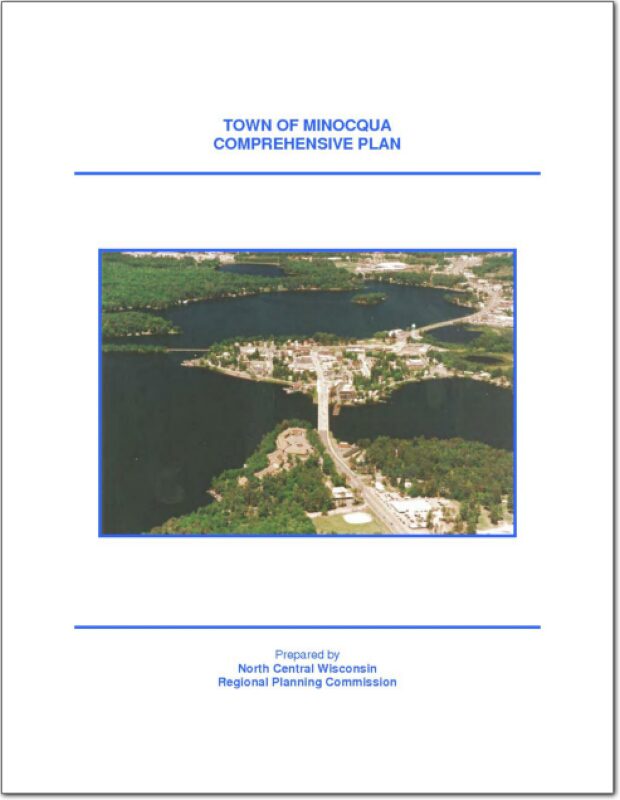
The Town of Minocqua is a large township, nearly five standard townships in area. The Town occupies the northwest corner of Oneida County, Wisconsin. The City of Rhinelander lies southeast of the Town. The Town of Minocqua is bordered by the towns of Woodruff, Hazelhurst, Little Rice and Lynne in Oneida County; Emery and Fifield in Price County; and Lac du Flambeau in Vilas County. It is one of twenty towns in the County.
The Town of Monico Comprehensive Plan, explores potential issues that may have an effect on the development of the Town over the 20-year planning period of the plan. As required by the state’s comprehensive planning law [§66.1001(2)(a) Wis. Stats.], this chapter contains trends and forecasts with jurisdictional comparisons for some basic demographics including: population, households, employment, age, education, and income. Although forecasts should typically cover the 20-year planning period, in some cases, the only acceptable sources had lesser time periods for their forecasts. Official sources are used for data and forecasting, including the WDOA Demographic Service Center, and the U.S. Census Bureau.

The Town of Pelican Comprehensive Plan, explores issues that may have an effect on the development of the Town over the 20-year planning period. As required by the state’s comprehensive planning law [§66.1001(2)(a) Wis. Stats.], this chapter contains trends and forecasts, with comparisons of adjacent jurisdiction, for some basic demographics including: population, households, employment, age, education, and income. Sources used for data and forecasting include the WDOA Demographic Service Center, and the U.S. Census Bureau.
The Town of Piehl Comprehensive Plan, explores issues that may have an effect on the development of the Town over the 20-year planning period. As required by the state’s comprehensive planning law [§66.1001(2)(a) Wis. Stats.], this chapter contains trends and forecasts, with comparisons of adjacent jurisdiction, for some basic demographics including: population, households, employment, age, education, and income. Sources used for data and forecasting include the WDOA Demographic Service Center, and the U.S. Census Bureau.
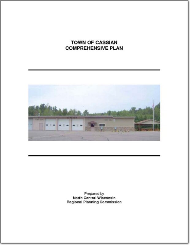
The Town of Cassian is a double township except for 4 sections in the northeast corner. The Town is located in the west central part of Oneida County, Wisconsin west of the City of Rhinelander. It is bordered by Hazelhurst and Lake Tomahawk to the north, Newbold to the east, Little Rice to the west, and Nokomis and Woodboro to the south. It is one of twenty towns in the county.
The Town of Cassian requested traffic counting services from the North Central Wisconsin Regional Planning Commission for two locations within the Town.
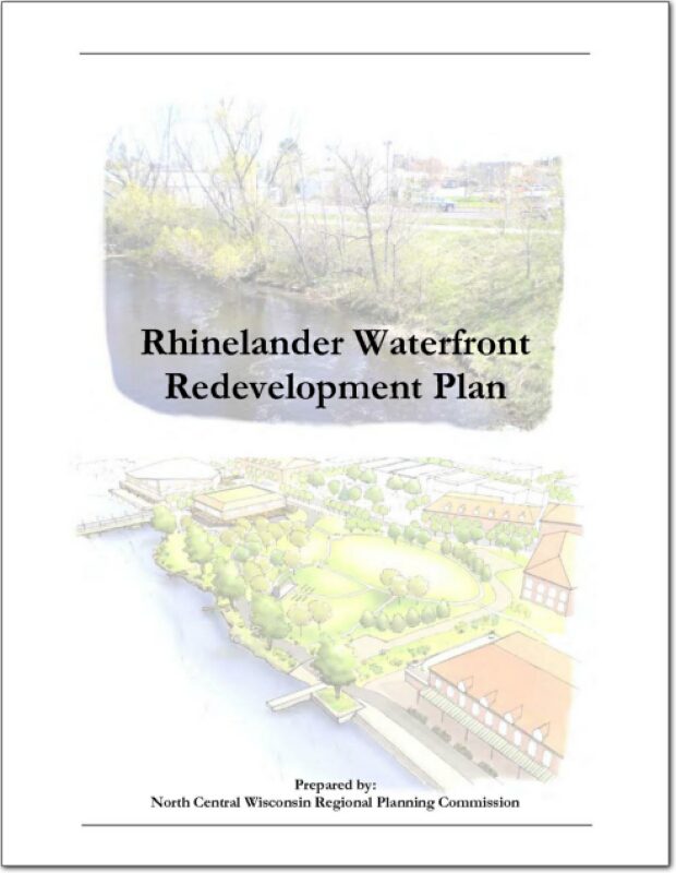
The waterfront has always played a significant role in the City of Rhinelander. In the 1870’s, explorers traveled up the Wisconsin River to the confluence of the Wisconsin and Pelican Rivers in search of timber, and found an ideal location for what would eventually become the City of Rhinelander. Since then the river has been used as a mode of transportation, for commerce and for recreation. Development patterns along the river, particularly in the downtown area, reflect the important role the river has played in commerce. Today, however, the river’s role in commerce has diminished to some degree and the need to explore new ways to best utilize the riverfront are necessary.
The state planning law – 66.1001 – requires that a comprehensive plan be updated every ten years. A variety of Plan Commission meetings were held over the course of 2008 to prepare the plan.
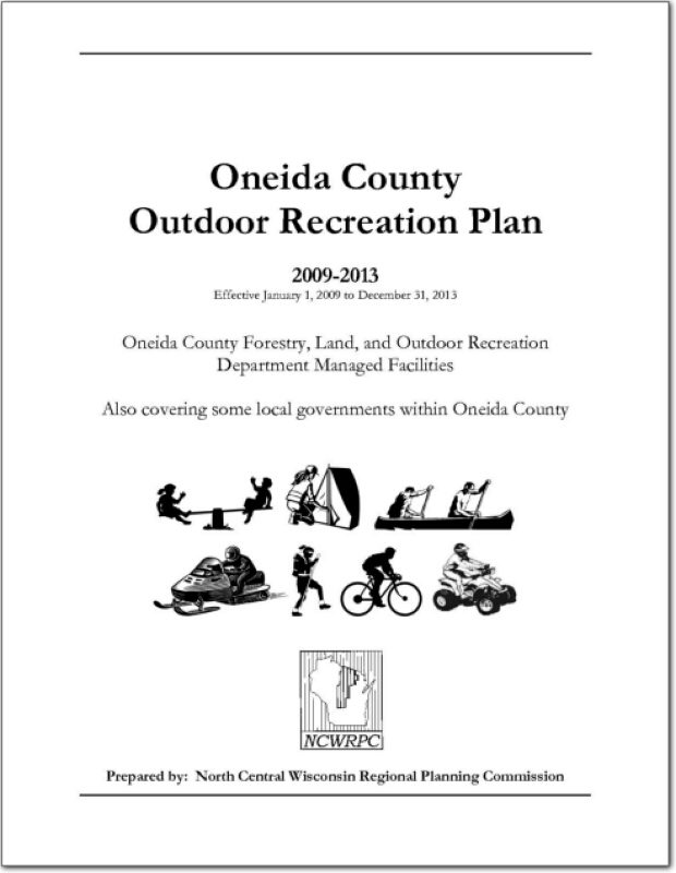
The primary purpose of this recreation plan is to provide continued direction toward meeting the current and future recreation needs of the county. This is accomplished through an inventory and analysis of outdoor recreational facilities, and the establishment of recommendations to meet identified needs.