Providing Economic Development, Geographic Information Systems, Intergovernmental Cooperation, Land Use Planning and Transportation Assistance since 1973
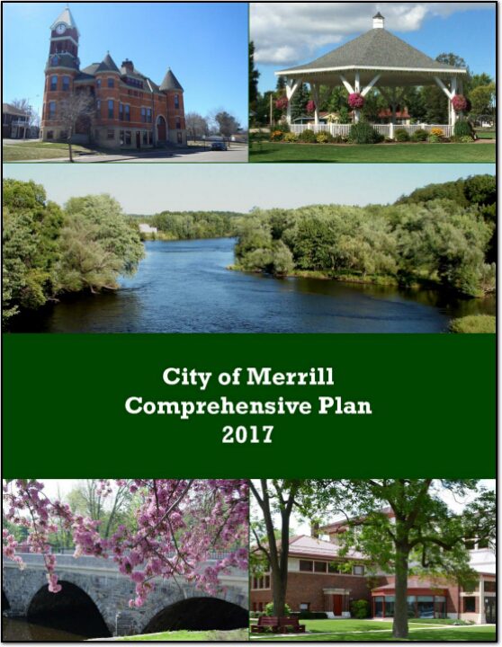
The comprehensive plan is a local government’s guide to community physical, social, and economic development. Comprehensive plans are not land use regulations in themselves; instead, they provide a rational basis for local land use decisions with a twenty-year vision for future planning and community decisions.
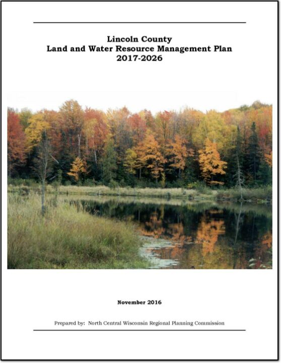
The Lincoln County Land and Water Resource Management (LWRM) plan was developed to assist the County in managing and protecting the land and water resources throughout Lincoln County.
At the root of the county Land and Water Resource Management (LWRM) plan concept is the cooperation and coordination of all agencies and groups within the county that have a role in land and water resource management. This plan coordinates everyone’s efforts, and focuses on how the County’s Land and Water Conservation Department will work with the other agencies.
Land and Water Resource Management (LWRM) Plans provide counties an opportunity to explain how they will meet the state performance standards and prohibitions (NR 151 and ATCP 50) to reduce runoff and protect water quality, as well as address other local land and water resource management concerns. The LWRM Plan provides the counties with the ability to develop local strategies to address the concerns; budget the limited staff and cost share dollars toward these concerns; provide for integration of programs and funding from all sources; and develop a variety of implementation tools..
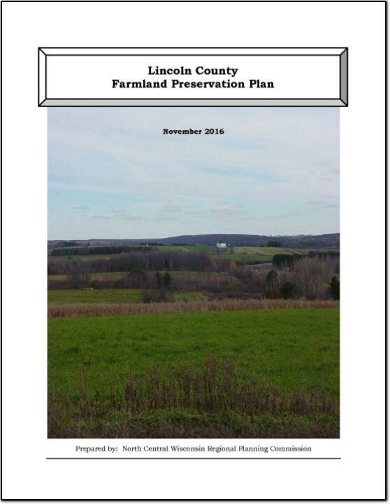
In 2010, agriculture constituted a $59 billion industry in Wisconsin. Farmland around the country is being lost at an alarming rate, and, once it is gone, we cannot get it back. Farmland preservation planning is crucial to preserve the agricultural land remaining in Wisconsin, because of the economic importance of agriculture in the State and the potential for loss of our agricultural land base.
The primary purpose of this outdoor recreation plan is to provide continued direction toward meeting the current and future recreation needs of Lincoln County. This is accomplished through an inventory and analysis of outdoor recreational facilities, asking the public what they are looking for, and the establishment of recommendations to meet identified needs.
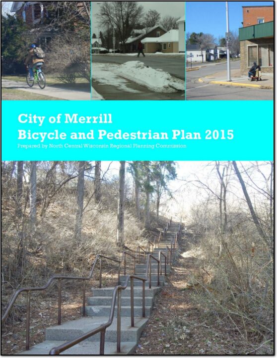
The primary emphasis of this plan is to develop a more bicycle and pedestrian friendly transportation system in the City of Merrill. Biking and walking are essential to maintaining and promoting the quality of life for residents and visitors of Merrill.
The Lincoln County Planning & Zoning Department appreciates the involvement of various community stakeholders in the creation of new Transportation, Housing, Agricultural and Natural Resources, and Economic Development plans for the county. The names and organizations of those persons participating in the planning processes are included in the appropriate section of this comprehensive plan.
State Trunk Highway (STH) 64 (aka East Main Street) is one of the City of Merrill’s two principal arterials and is the major east-west corridor through the city. The other principal arterial is the north-south Center Avenue/County K (Bus. 51) corridor. The STH 64 / East Main Street and Pine Ridge Avenue intersection area is one of four major areas of employment in the city. Recent and proposed development on Pine Ridge Avenue have raised concerns about the effect of those changes on the operations and safety of STH 64 / E. Main Street and the interchange ramps from STH 64 to USH 51. The purpose of this study is to determine potential future mitigation measures and improvements on STH 64 as well as the local street network for safety and operations.
A roadway management plan for a local street system provides a community with the ability to plan for future roadway improvements. With a roadway management plan in place, the limited resources allocated to local roads can be better spent. The overall goal of the Roadway Management Plan is to assist municipalities make better decisions on the improvements to the local road system. This document contains information vital to the review and rating of the City of Tomahawk’s roadway system. Thus, the Roadway Management Plan will assist in preserving and rehabilitating the existing City street system in a timely and cost-effective manner.
Federal transit law requires that any projects selected for funding under the Section 5310 Enhanced Mobility of Seniors and Individuals with Disabilities (formerly titled Elderly and Disabled Capital Assistance Program) must be derived from a “locally developed, coordinated public transit-human services transportation plan”. This requirement was implemented as part of the SAFETEA-LU legislation and the requirement continues under the new transportation legislation, MAP-21 (Moving Ahead for Progress in the 21st Century). The purpose of the coordinated planning process is to have stakeholder involvement in the assessment of elderly and disabled transportation, and to provide strategies and goals to improve those transportation alternatives. These coordinated plans were last completed in 2008 and are due to be updated in 2013.
The primary purpose of this outdoor recreation plan is to provide continued direction toward meeting the current and future recreation needs of the City of Merrill.