City of Mauston Outdoor Recreation Plan 2017-2021

The primary purpose of this outdoor recreation plan is to provide continued direction toward meeting the current and future recreation needs of the City of Mauston.

This Outdoor Recreation Plan (ORP) was prepared pursuant to Wisconsin Statute §23.30 Outdoor Recreation Program.  This section serves “to promote, encourage, coordinate, and implement a comprehensive long-range plan to acquire, maintain, and develop for public use, those areas of the state best adapted to the development of a comprehensive system of state and local outdoor recreation facilities and services…”
Comprehensive Economic Development Strategy 2017

An assessment of economic development activities of the North Central Wisconsin Regional Planning Commission over the last decade and the past year. The report’s seven sections describe the CEDS Committee, Past Year’s Activities, the Physical Region, Changes in the Region’s Population, changes in the Region’s Economy, a Regional Development Strategy, and an Economic Development Work Plan. Also included is a list of potential public works projects. This CEDS process maintains the Region’s eligibility as an Economic Development District (EDD) with the U.S. Economic Development Administration. The District consists of ten counties. These counties are Adams, Forest, Juneau, Langlade, Lincoln, Marathon, Oneida, Portage, Vilas, and Wood. However, Portage, and Wood Counties do not fully participate in the EDD – only some local communities with these two Counties participate.

Adams County Farmland Preservation Plan 2016

In 2010, agriculture constituted a $59 billion industry in Wisconsin. Farmland around the country is being lost at an alarming rate, and, once it is gone, we cannot get it back. Farmland preservation planning is crucial to preserve the agricultural land remaining in Wisconsin, because of the economic importance of agriculture in the State and the potential for loss of our agricultural land base.

Langlade County Outdoor Recreation Plan 2017-2021

Outdoor Recreation Plan

The primary purpose of this outdoor recreation plan is to provide continued direction toward meeting the current and future recreation needs of Langlade County, Wisconsin

This Outdoor Recreation Plan (ORP) was prepared pursuant to Wisconsin Statute §23.30 Outdoor Recreation Program.  This section serves “to promote, encourage, coordinate, and implement a comprehensive long-range plan to acquire, maintain, and develop for public use, those areas of the state best adapted to the development of a comprehensive system of state and local outdoor recreation facilities and services…”
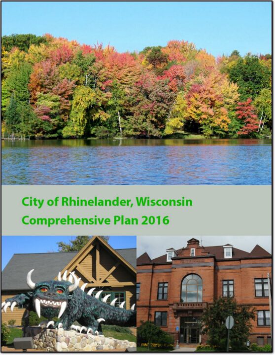
City of Rhinelander Comprehensive Plan 2016

The City of Rhinelander is located in Oneida County. It is the only incorporated community in the county, and serves as the county seat. Rhinelander is a major commercial and industrial center of the “northwoods.” The City has a population of over 7,700 people in 2013, which is about 21 percent of the total county population. This plan replaces the previous City of Rhinelander Comprehensive Plan adopted in 2008.

Lincoln County Farmland Preservation Plan 2016

In 2010, agriculture constituted a $59 billion industry in Wisconsin. Farmland around the country is being lost at an alarming rate, and, once it is gone, we cannot get it back. Farmland preservation planning is crucial to preserve the agricultural land remaining in Wisconsin, because of the economic importance of agriculture in the State and the potential for loss of our agricultural land base.

Town of Colburn Comprehensive Plan 2016

The Comprehensive Planning Process was overseen by the Plan Commission, who met several times with staff from North Central Wisconsin Regional Planning Commission to review the 2006 plan, analyze updated data, draft new goals, and develop a new Future Land Use map. This process took approximately nine months, culminating in the adoption of this Plan

Town of New Chester Comprehensive Plan 2016

The Comprehensive Planning Process was overseen by the Plan Commission, who met several times with staff from North Central Wisconsin Regional Planning Commission to review the 2006 plan, analyze updated data, draft new goals, and develop a new Future Land Use map. This process took approximately nine months, culminating in the adoption of this Plan