Providing Economic Development, Geographic Information Systems, Intergovernmental Cooperation, Land Use Planning and Transportation Assistance since 1973
The Plan provides detailed information on the Village, and uses that information, trends, planning principles and public input to form a guide for future decision making. This process has included a comprehensive review of past and current development activities and projected changes forecasted over a future 20-year planning horizon.
The Comprehensive Planning Process was overseen by the Plan Commission, who met several times with staff from North Central Wisconsin Regional Planning Commission to review the 2006 plan, analyze updated data, draft new goals, and develop a new Future Land Use map. This process took approximately nine months, culminating in the adoption of this Plan.
In the fall of 2015, the Village initiated a process to update its 2006 plan. The state planning law – 66.1001 – requires that a comprehensive plan be updated every 10 years.
A variety of Village Plan Commission meetings were held over the course of 2015 and 2016 to prepare the plan. A final Plan Commission meeting was held in early 2016 to review the final draft and recommend adoption of the plan to the Village Board.
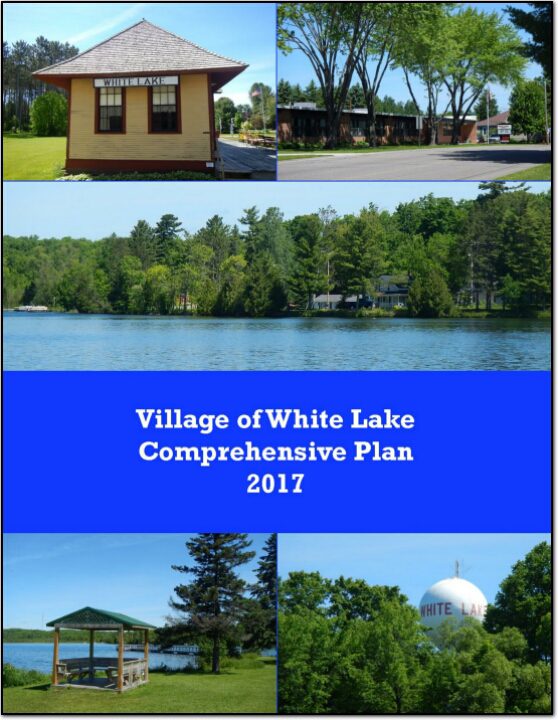
The Comprehensive Planning Process was overseen by the Plan Commission, who met several times with staff from North Central Wisconsin Regional Planning Commission to review the 2004 plan, analyze updated data, draft new goals, and develop a new Future Land Use map. This process took approximately nine months, culminating in the adoption of this Plan.
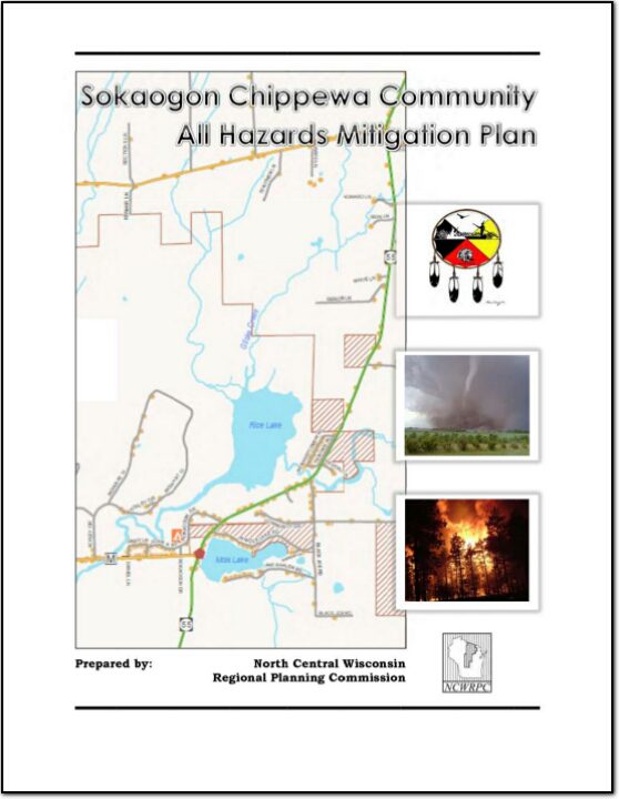
Sokaogon Chippewa Community All Hazards Mitigation Plan (AHMP) describes and documents the process used to develop the Plan. This includes how it was prepared and who (committee, organizations, departments, staff, consultants, etc.) was involved in the process. It also describes the Tribal government’s involvement, the time period in which the Plan was prepared, and who to contact to answer questions and make recommendations for future amendments to the Plan.
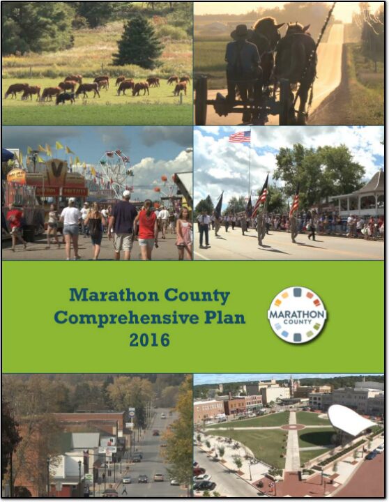
The Marathon County Comprehensive Plan will help guide County decision makers on a wide array of issues over the next twenty years. It will also provide guidance to the 41 towns, 15 villages and 6 cities within the County. All these communities, working together, make Marathon County a special place.
Currently, the 135,000 County residents enjoy economic opportunity, quality schools, and strong communities, along with access to a wide variety of recreational options. Although, the County compares well when compared to other counties there is still room for improvement. An overarching goal of Marathon County is to become the Healthiest, Safest and Most Prosperous County in the State. Therefore, the intent of this plan is to provide the foundation for that improvement.
The Executive Summary includes a brief overview of the Marathon County Comprehensive Plan which was adopted in February, 2016. The purpose of this summary is to provide a snapshot of the plan and provide guidance on where to look in the full plan for more detailed information and direction.
The Village of Necedah Comprehensive Plan guides the future growth, development and enhancement of the Village for the next 10 to 20 years. This plan incorporates more than just future land uses, but also direction for housing and neighborhood development, economic development, transportation, community facilities, protection of natural resources and intergovernmental cooperation. These crucial elements among others will shape the future of the Village.
The Lincoln County Planning & Zoning Department appreciates the involvement of various community stakeholders in the creation of new Transportation, Housing, Agricultural and Natural Resources, and Economic Development plans for the county. The names and organizations of those persons participating in the planning processes are included in the appropriate section of this comprehensive plan.
This is the first of nine elements that comprise the Oneida County Comprehensive Plan. The plan provides detailed information on the county and also includes all twenty towns and the City of Rhinelander. Oneida County is located in northeastern Wisconsin and is bounded on the north by Vilas County, on the east by Forest County, on the south by Lincoln and Langlade counties, and on the west by Price County. The county is a predominantly rural area with a large proportion of its land in forests, wetlands, and agriculture. Residents and visitors from both near and far utilize its more than 1,100 lakes and expansive natural areas for recreational purposes. The City of Rhinelander is the county seat and largest community in the county with a population of about 8,200. See the planning context map.