Providing Economic Development, Geographic Information Systems, Intergovernmental Cooperation, Land Use Planning and Transportation Assistance since 1973
The Town of Plymouth’s Comprehensive Plan guides the future growth, development and enhancement of the Town for the next 10 to 20 years. This plan incorporates more than just future land uses, but also direction for housing and neighborhood development, economic development, transportation, community facilities, protection of natural resources and intergovernmental cooperation. These crucial elements among others will shape the future of the Town.
Juneau County’s Land, Forestry and Parks Department updates its Outdoor Recreation Plan every 5 years to identify essential outdoor recreation needs that affect the future of outdoor recreation in the County.
This Outdoor Recreation Plan (ORP) focuses upon County managed outdoor recreation facilities, and also list projects within the towns and villages. Local governments with their own ORP are referenced in this plan. All listed nature based and active recreation based projects become eligible for competitive federal and state outdoor recreation grant money when this plan is adopted by County or local municipality by resolution.
All communities within Juneau County without their own Outdoor Recreation Plan become eligible to apply for recreation grants when the County adopts this plan by resolution.
Non-profit groups, foundations, and the general public may also use this document to coordinate their own private efforts for developing outdoor recreation facilities.
2026 Planning Timeline
Winter 2025-2026 — Staff park analysis, plans reviewed, & demographic data analysis.
Winter/Spring 2026 — Countywide Public Input Survey distribution & tabulation.
Safe Routes to School (SRTS) programs are an opportunity to make walking and bicycling to school safer for children in grades K-12, and to increase the number of children who choose to walk and bicycle. On a broader level, SRTS programs can enhance children’s health and well-being, ease traffic congestion near the school, and improve community members’ overall quality of life.
In 2024, the City of Elroy and the Royall School District won a WisDOT SRTS planning grant to create a SRTS Plan for each public school in the District.
Spring 2025 – Royall School District to perform transportation surveys (e.g., Student Tallies & Parent Surveys).
Fall 2026 – The City of Elroy and the Royall School District to begin SRTS Planning with the assistance of the North Central Wisconsin Regional Planning Commission (NCWRPC). The NCWRPC is guiding the Elroy & Royall SRTS Task Force through the planning process.
Fall 2026 – Data collection to occur. Further analysis with the SRTS Task Force will occur throughout the 2026-2027 school year.
Plan development to occur in 2026 & 2027.
Plan review and revision will occur throughout the 2026-2027 school year.
Plan adoption is anticipated in 2027.
Implementation of the Elroy & Royall SRTS Plan can begin anytime after adoption, and through many years later.
Schools in Elroy & Royall SRTS Plan:
Royall Elementary & Intermediate School (PK-6) Royall Middle & High School (7-12)
Royall Elementary & Intermediate School (grades PK-6) Map 3A – Site Assessment (Not available yet.) Map 4A – Transportation (Not available yet.) Map 5A – School Routes (Not available yet.) Map 6A – Recommendations (Not available yet.)
Royall Middle & High School (grades 7-12) Map 3A – Site Assessment (Not available yet.) Map 4A – Transportation (Not available yet.) Map 5A – School Routes (Not available yet.) Map 6A – Recommendations (Not available yet.)
.
Draft Elroy & Royall SRTS Plan (Not available yet.)
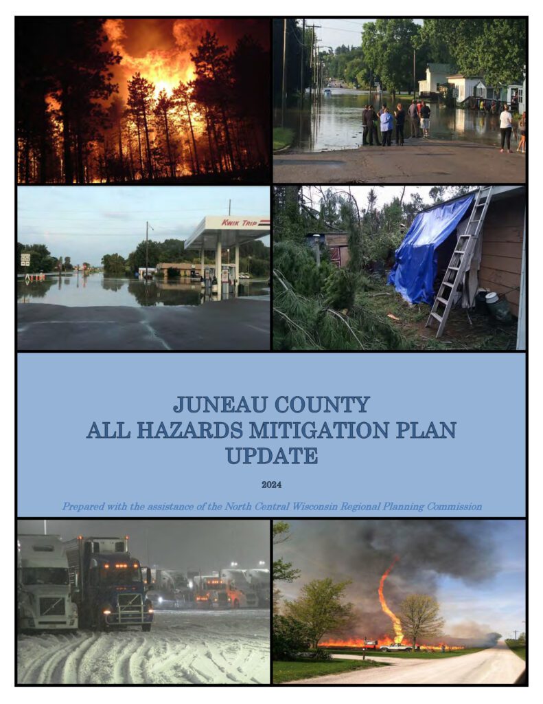
Juneau County All Hazards Mitigation Plan (AHMP) Update describes and documents the process used to develop the plan update. This includes how it was prepared and who (committee, organizations, departments, staff, consultants, etc.) was involved in the update process. It also describes the local government involvement, the time period in which the update was prepared, and who to contact to answer questions and make recommendations for future amendments to the plan.
We have been creating economy overviews for all ten of our counties along with Centergy and Grow North regions. We have reports from 2018 to 2026 – More information is about EMSI reports HERE. We also have historic reports back to 2013 if you are intrerested.
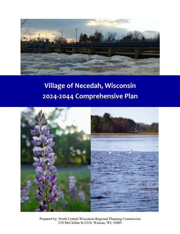
The Village of Necedah Comprehensive Plan guides the future growth, development and enhancement of the Village for the next 10 to 20 years. This plan incorporates more than just future land uses, but also direction for housing and neighborhood development, economic development, transportation, community facilities, protection of natural resources and intergovernmental cooperation. These crucial elements among others will shape the future of the Village.
Every few years, NCWRPC updates basic demographic and economic development information in the form of County Profiles, which provide a snapshot of current economic trends and opportunities for economic growth. Included is a map of business park locations where acreage is available as well as contacts for various economic development agencies and programs.
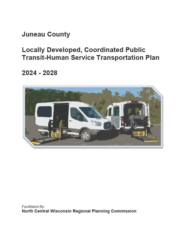
Federal transit law requires that any projects selected for funding under the Section 5310 Enhanced Mobility of Seniors and Individuals with Disabilities (formerly titled Elderly and Disabled Capital Assistance Program) must be derived from a “locally developed, coordinated public transit-human services transportation plan”. This requirement was implemented as part of the SAFETEA-LU legislation and the requirement continues under the new transportation legislation, FAST Act (Fixing America’s Surface Transportation). The purpose of the coordinated planning process is to have stakeholder involvement in the assessment of elderly and disabled transportation, and to provide strategies and goals to improve those transportation alternatives. These coordinated plans were last completed in 2019 and are due to be updated for 2023.
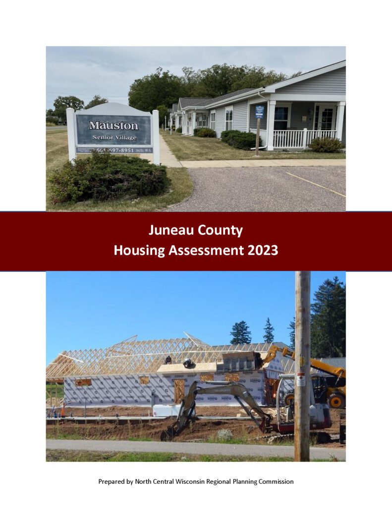
In 2023, the Juneau County Health Department worked with the North Central Wisconsin Regional Planning Commission (NCWRPC) to produce this report in response to growing concerns over housing affordability and to update the 2018 Juneau County Housing Study. Housing affordability affects the County’s quality of life and ability to compete economically, and it affects the health, safety, and happiness of the County’s residents. This project consisted of robust data collection, public surveys, public open houses, and stakeholder interviews to understand which housing types are highest in demand, and what barriers prevent an adequate supply of desired housing. This assessment recommends a variety of strategies and programs that each individual community may explore depending on their own needs to encourage the construction and rehabilitation of needed housing.
EMSI / Lightcast delivers economic reports to regional planners who want expert analysis and detailed, hard-to-find data. Our consultants combine EMSI’s comprehensive labor market data and seasoned economic analysis to produce reports that analyze a broad range of workforce, education, and economic development issues. Unlike other consulting groups, we mine our own data and tailor it to create effective reports that communicate to all audiences. EMSI’s custom economic analysis includes the following major types:
Impact studies (education, workforce, and industry)