The Rhinelander Area Chamber of Commerce commissioned NCWRPC to complete this project that studies the feasibility of a conference center in the City of Rhinelander capable of seating at least 500. This center would expand the amenities the City has to offer while enhancing the local economy. Included are construction and operating costs, funding strategies, and design recommendations to ensure the conference center is sized appropriately for the local market.
Village of Marathon City Comprehensive Plan 2026
The purpose of a Comprehensive Plan is to guide future growth and development in the Village over the next 10 to 20 years. A comprehensive plan provides the vision and direction for natural resource protection, housing and economic development, transportation and community facilities, land use, intergovernmental relations, and other factors that together form the community’s future. Comprehensive planning was enacted to encourage long-range planning for communities and provide consistency in land use decision making. The Comprehensive Plan is a guide that elected officials, residents, and business owners can use for directing growth and redevelopment in the community. The Comprehensive Plan is a long-range policy document consisting of goals, objectives, and policies prepared to meet the State’s definition of a comprehensive plan as defined under Section 66.1001.
DRAFT Chapters can be accessed below:
Chapter 1 – Demographics (4/28/26)
Chapter 2 – Natural Resources (4/28/26)
Chapter 4 – Transportation (5/20/26)
Chapter 5 – Utilities & Community Facilities (5/20/26)
Chapter 6 – Economic Development (5/20/26)
Chapter 7 – Land Use (5/20/26)
Chapter 8 – Intergovernmental Cooperation (TBA)
Chapter 9 – Implementation (TBA)
Adams County Economic Development Strategy 2026
The Adams County Economic Development Strategy was prepared for the County’s official economic development organization – Adams County Economic Development (ACED) – and is intended to act as a guide for economic development efforts within Adams County.
The Strategic Plan strives to:
- Provide an economic context of the County.
- Review socio-economic trends throughout the County that are important to understand the County’s strengths, weaknesses, issues, and opportunities.
- Analyze past and current economic data, as well as projections, for the County to identify it’s economic strengths, weaknesses, and opportunities.
- Identify and describe the County’s existing infrastructure.
- Develop a set of strategies to help guide economic efforts within the County.
City of Rhinelander Comprehensive Plan 2026
The purpose of a Comprehensive Plan is to guide future growth and development in the City over the next 10 to 20 years. A comprehensive plan provides the vision and direction for natural resource protection, housing and economic development, transportation and community facilities, land use, intergovernmental relations, and other factors that together form the community’s future. Comprehensive planning was enacted to encourage long-range planning for communities and provide consistency in land use decision making. The Comprehensive Plan is a guide that elected officials, residents, and business owners can use for directing growth and redevelopment in the community. The Comprehensive Plan is a long-range policy document consisting of goals, objectives, and policies prepared to meet the State’s definition of a comprehensive plan as defined under Section 66.1001.
DRAFT Chapters can be accessed below:
Chapter 1 – Demographics (4/7/26)
Chapter 2 – Natural Resources (5/19/26)
Chapter 4 – Utilities & Community Facilities (6/2/2026)
Chapter 5 – Technology (6/2/2026)
Chapter 6 – Transportation (6/2/2026)
Chapter 7 – Economic Development (7/7/2026)
Chapter 8 – Land Use (TBA)
Chapter 9 – Intergovernmental Cooperation (7/7/2026)
Chapter 10 – Implementation (TBA)
Village of Biron Comprehensive Plan 2026
The purpose of a Comprehensive Plan is to guide future growth and development in the Village over the next 10 to 20 years. A comprehensive plan provides the vision and direction for natural resource protection, housing and economic development, transportation and community facilities, land use, intergovernmental relations, and other factors that together form the community’s future. Comprehensive planning was enacted to encourage long-range planning for communities and provide consistency in land use decision making. The Comprehensive Plan is a guide that elected officials, residents, and business owners can use for directing growth and redevelopment in the community. The Comprehensive Plan is a long-range policy document consisting of goals, objectives, and policies prepared to meet the State’s definition of a comprehensive plan as defined under Section 66.1001.
Meeting 1: 1/28/2026
Meeting 2: 3/18/2026
Meeting 3: 4/29/2026
CLICK TO VIEW DRAFT 2: ALL CHAPTERS AND MAPS
Meetings are held at 6pm at 451 Kahoun Rd, Wisconsin Rapids, WI 54494
Town of Bergen Comprehensive Plan 2026
The purpose of a Comprehensive Plan is to guide future growth and development in the Town over the next 10 to 20 years. A comprehensive plan provides the vision and direction for natural resource protection, housing and economic development, transportation and community facilities, land use, intergovernmental relations, and other factors that together form the community’s future. Comprehensive planning was enacted to encourage long-range planning for communities and provide consistency in land use decision making. The Comprehensive Plan is a guide that elected officials, residents, and business owners can use for directing growth and redevelopment in the community. The Comprehensive Plan is a long-range policy document consisting of goals, objectives, and policies prepared to meet the State’s definition of a comprehensive plan as defined under Section 66.1001.
City of Eagle River Comprehensive Plan 2026
The purpose of a Comprehensive Plan is to guide future growth and development in the City over the next 10 to 20 years. A comprehensive plan provides the vision and direction for natural resource protection, housing and economic development, transportation and community facilities, land use, intergovernmental relations, and other factors that together form the community’s future. Comprehensive planning was enacted to encourage long-range planning for communities and provide consistency in land use decision making. The Comprehensive Plan is a guide that elected officials, residents, and business owners can use for directing growth and redevelopment in the community. The Comprehensive Plan is a long-range policy document consisting of goals, objectives, and policies prepared to meet the State’s definition of a comprehensive plan as defined under Section 66.1001.
DRAFT Chapters can be accessed below:
Chapter 4 – Utilities & Community Facilities
Chapter 6 – Economic Development
Chapter 7 – Land Use
Chapter 8 – Intergovernmental Cooperation
Chapter 9 – Implementation
Schofield Outdoor Recreation Plan 2027-2031
The City of Schofield’s Public Property/Parks and Recreation Committee updates its Outdoor Recreation Plan every 5 years to identify essential outdoor recreation needs that affect the future of outdoor recreation in the City.
This Outdoor Recreation Plan (ORP) focuses upon City managed outdoor recreation facilities. All listed nature based and active recreation based projects become eligible for competitive federal and state outdoor recreation grant money when this plan is adopted by the City Council by resolution.
Non-profit groups, foundations, and the general public may also use this document to coordinate their own private efforts for developing outdoor recreation facilities.
2026 Planning Timeline
Spring 2026 — Staff park analysis, plans reviewed, & demographic data analysis.
Spring 2026 — Citywide Public Input Survey distribution & tabulation.
Summer 2026 — Goals & Objectives developed.
Summer 2026 — Plan ready for review and approval by Public Property/Parks and Recreation Committee
Summer/Fall 2026 — Plan ready for adoption by City Council.
Draft Plan
______plan not available yet_________ (__ MB PDF)
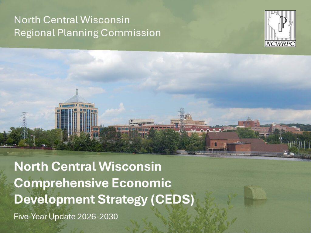
Comprehensive Economic Development Strategy 2026
The CEDS provides a detailed assessment of economic development conditions in North Central Wisconsin, and identifies a Regional Economic Development Strategy, which includes goals and objectives. This then provides the foundation for the NCWRPC economic development work plan. Along with maintaining our designation as an EDD, updating the CEDS provides access to grant funds from EDA for our Region.
The 2026 CEDS Five-Year Update consists of the following seven chapters: Introduction, Demographics & Employment, Economic Conditions, Existing Infrastructure, SWOT Analysis, Economic Development Resources, and Regional Strategy.
The Regional Strategy chapter contains a set of 7 goals, with each goal containing multiple objectives. These goals and objectives seek to strengthen the economy, improve economic resilience, and together formulate the Regional Strategy. The Action Plan at the end of the CEDS demonstrates the efforts that need to be taken to help implement the Regional Strategy.
Preparation and adoption of the CEDS maintains the Region’s EDD designation and also maintains grant eligibility for those participating units of government. This CEDS process maintains the Region’s eligibility as an Economic Development District (EDD) with the U.S. Economic Development Administration. The District consists of ten counties. These counties are Adams, Forest, Juneau, Langlade, Lincoln, Marathon, Oneida, Portage, Vilas, and Wood.
Lincoln County Farmland Preservation Plan 2026
A county farmland preservation plan establishes trends and resources related to agriculture, lists policies and goals related to farmland protection and identifies lands that will remain in agricultural use for the foreseeable future. Counties with agricultural lands can use a farmland preservation plan to guide conservation of such lands for active use as farms throughout the county.
The planning process is an opportunity for different levels of local government to cooperate and build relationships. A county is encouraged to include local towns, cities and village’s land use plans and engage with local stakeholders to draft the plan. When a county plans for farmland preservation, they are acknowledging that agricultural lands are integral to the future of the county.
A Farmland Preservation Plan (FPP):
- Establishes a local vision for agricultural preservation at the county level.
- Is a nonbinding guidance document which can help counties and towns establish policies to protect farmland for the future.
- Makes counties and towns eligible to participate in other parts of the Farmland Preservation Program such as Agricultural Enterprise Areas (AEAs) and Farmland Preservation Zoning.
- Does not impose land use restrictions by itself.
- Does not create farmland preservation tax credit eligibility by itself. New participants can establish tax credit eligibility through enrollment in farmland preservation zoning, farmland preservation agreements in AEAs or both.
.
We are updating this plan in 2026: Lincoln County Farmland Preservation Plan 2016.
.
2026 Planning Timeline
Winter 2025-2026 — Lincoln County Land Service Committee appoints members to the FPP Advisory Committee.
Winter/Spring 2026 — Staff analysis, plans reviewed, & demographic data analysis.
Winter/Spring 2026 — FPP Advisory Committee meetings.
Spring/Summer 2026 — Draft Plan ready for review.
Spring/Summer 2026 — Plan ready for approval by Lincoln County Land Services Committee.
Summer 2026 — Plan ready for adoption by County Board.
Draft Plan
______plan not available yet_________ (__ MB PDF)
.
.
Make questions or comments about the planning here.
(Email link to submit comments on this plan.)