The primary purpose of this outdoor recreation plan is to provide continued direction toward meeting the current and future recreation needs of the City of Pittsville.
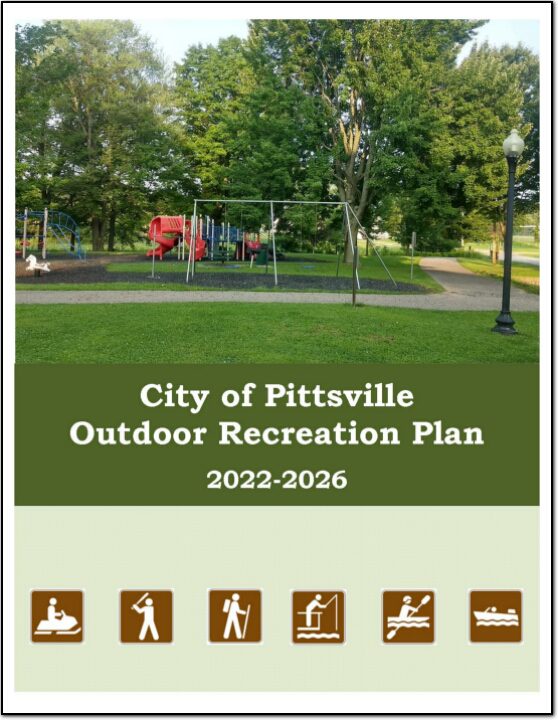
North Central Wisconsin Regional Planning Commission
Providing Economic Development, Geographic Information Systems, Intergovernmental Cooperation, Land Use Planning and Transportation Assistance since 1973
The primary purpose of this outdoor recreation plan is to provide continued direction toward meeting the current and future recreation needs of the City of Pittsville.
Wood County
Wood County
Wood County
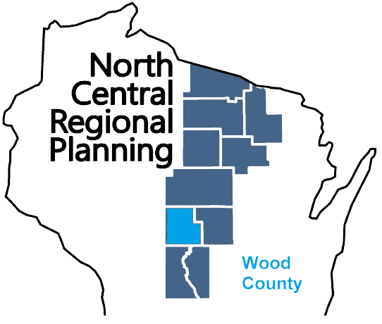
Wood County is a county located in central Wisconsin. As of the 2020 census, the population was 74,207. The county seat is Wisconsin Rapids. Wood County was created in 1856 and is named after Joseph Wood, who was a Wisconsin State Assemblyman. The county is known for its many lakes, rivers and outdoor recreational opportunities, including the Wood County Parks, the Wisconsin River and the Ice Age Trail. The county is home to the city of Wisconsin Rapids, which is the county’s largest city and the regional center for commerce, industry, healthcare, and education. The county also has several small towns and communities, including Marshfield, Nekoosa, and Port Edwards. The county has a diverse economy, with healthcare, manufacturing and service industries being the main drivers. The county is also known for its paper mills, which have been a staple industry in the area for many years.
The counties of northeastern Wisconsin have a long history of working cooperatively to address the public safety needs of the area. This latest effort, called the North East Wisconsin Public Safety COMmunications or NEWCOM, will create a group that will identify the communication needs for the area, so the 500 plus law enforcement and public safety organizations can communicate effectively throughout the Region.
The group formed under Intergovernmental Agreement §66.0301, Wis. Stats in 2006
Meetings 2026
February 5th
May 7th
August 6th
November 5th
| Sherri Congleton | Vilas County | Chair |
| Ryan Berdal | Marathon County | Vice-Chair |
| Rozanne Kahan | Price County | Secretary- Treasurer |
| Christian Boulanger | NCWRPC | NEWCOM Contact |
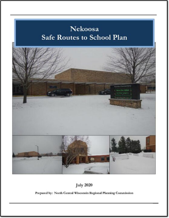
This plan was developed by NCWRPC in conjunction with the Nekoosa School District, City of Nekoosa, and the Nekoosa SRTS Task Force as part of the North Central Wisconsin Regional Safe Routes to School Program. This Regional program was made possible in part by a Transportation Alternatives Program grant from the Wisconsin Department of Transportation. Additional funding was provided by the NCWRPC.
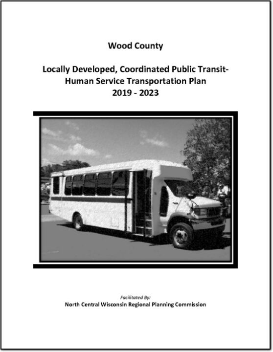
Federal transit law requires that any projects selected for funding under the Section 5310 Enhanced Mobility of Seniors and Individuals with Disabilities (formerly titled Elderly and Disabled Capital Assistance Program) must be derived from a “locally developed, coordinated public transit-human services transportation plan”. This requirement was implemented as part of the SAFETEA-LU legislation and the requirement continues under the new transportation legislation, FAST Act (Fixing America’s Surface Transportation). The purpose of the coordinated planning process is to have stakeholder involvement in the assessment of elderly and disabled transportation, and to provide strategies and goals to improve those transportation alternatives. These coordinated plans were last completed in 2013 and are due to be updated
for 2019.
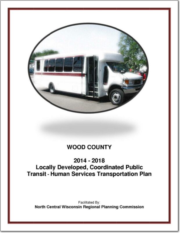
Federal transit law requires that any projects selected for funding under the Section 5310 Enhanced Mobility of Seniors and Individuals with Disabilities (formerly titled Elderly and Disabled Capital Assistance Program) must be derived from a “locally developed, coordinated public transit-human services transportation plan”. This requirement was implemented as part of the SAFETEA-LU legislation and the requirement continues under the new transportation legislation, FAST Act (Fixing America’s Surface Transportation). The purpose of the coordinated planning process is to have stakeholder involvement in the assessment of elderly and disabled transportation, and to provide strategies and goals to improve those transportation alternatives. These coordinated plans were last completed in 2008 and are due to be updated
for 2013.
The purpose of a Comprehensive Plan is to guide future growth and development in the Town over the next 10 to 20 years. A comprehensive plan provides the vision and direction for natural resource protection, housing and economic development, transportation and community facilities, land use, intergovernmental relations, and other factors that together form the community’s future. Comprehensive planning was enacted to encourage long-range planning for communities and provide consistency in land use decision making. The Comprehensive Plan is a guide that elected officials, residents, and business owners can use for directing growth and redevelopment in the community. The Comprehensive Plan is a long-range policy document consisting of goals, objectives, and policies prepared to meet the State’s definition of a comprehensive plan as defined under Section 66.1001.