Providing Economic Development, Geographic Information Systems, Intergovernmental Cooperation, Land Use Planning and Transportation Assistance since 1973
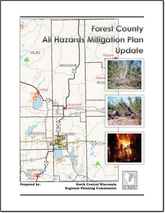
Forest County All Hazards Mitigation Plan (AHMP) Update describes and documents the process used to develop the plan update. This includes how it was prepared and who (committee, organizations, departments, staff, consultants, etc.) was involved in the update process. It also describes the local government involvement, the time period in which the update was prepared, and who to contact to answer questions and make recommendations for future amendments to the plan.
Forest County All Hazards Mitigation Plan (AHMP) Update describes and documents the process used to develop the plan update. This includes how it was prepared and who (committee, organizations, departments, staff, consultants, etc.) was involved in the update process. It also describes the local government involvement, the time period in which the update was prepared, and who to contact to answer questions and make recommendations for future amendments to the plan.
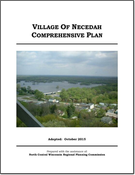
The Village of Necedah Comprehensive Plan guides the future growth, development and enhancement of the Village for the next 10 to 20 years. This plan incorporates more than just future land uses, but also direction for housing and neighborhood development, economic development, transportation, community facilities, protection of natural resources and intergovernmental cooperation. These crucial elements among others will shape the future of the Village.
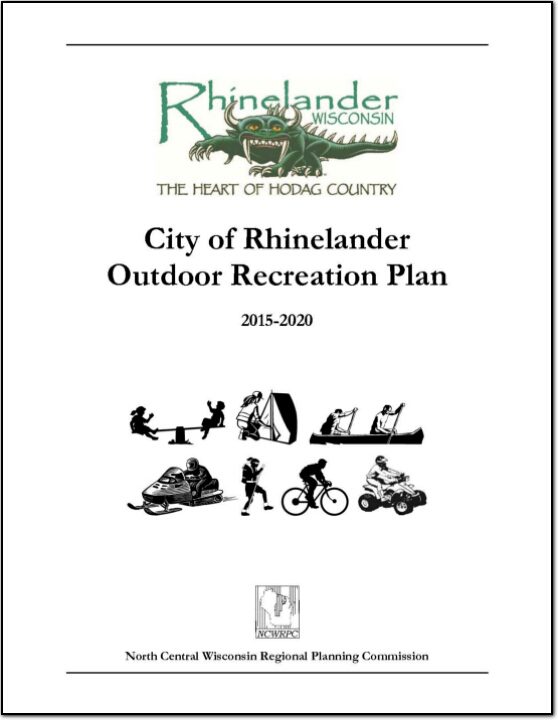
The focus of this plan is to enhance the viability of bicycling and walking as forms of transportatioThe primary purpose of this outdoor recreation plan is to provide continued direction toward meeting the current and future recreation needs of the City of Rhinelander.
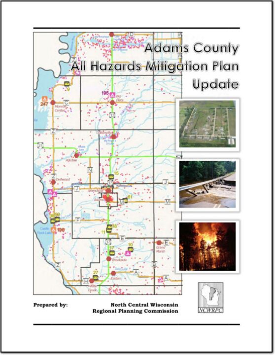
Adams County All Hazards Mitigation Plan (AHMP) Update describes and documents the process used to develop the plan update. This includes how it was prepared and who (committee, organizations, departments, staff, consultants, etc.) was involved in the update process. It also describes the local government involvement, the time period in which the update was prepared, and who to contact to answer questions and make recommendations for future amendments to the plan.
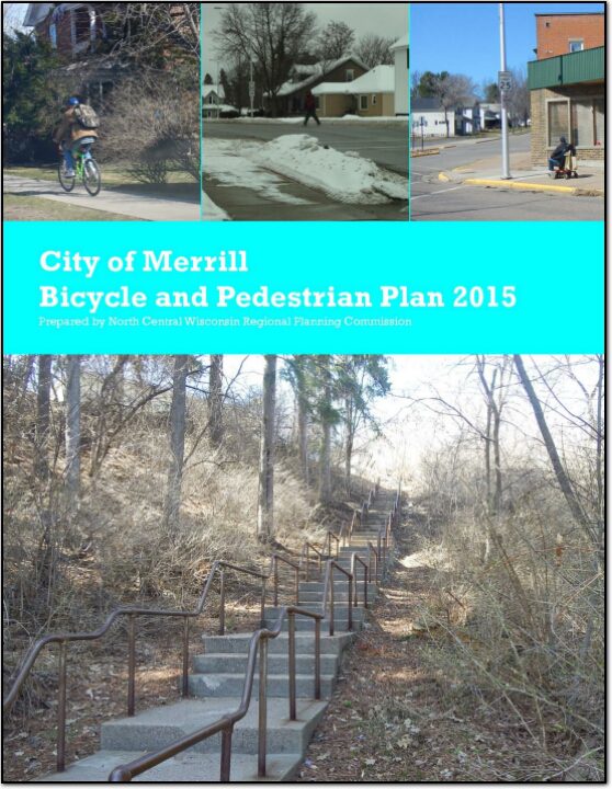
The primary emphasis of this plan is to develop a more bicycle and pedestrian friendly transportation system in the City of Merrill. Biking and walking are essential to maintaining and promoting the quality of life for residents and visitors of Merrill.
The Transportation Assessment Report is one of four reports prepared as part of the overall Regional Livability Plan effort undertaken by the North Central Wisconsin Regional Planning Commission. Each Assessment Report focuses on the foundational topics of Housing, Economic Development, Transportation, and Land Use. These four reports along with demographic data will form the basis of the overall North Central Wisconsin Regional Livability Plan.
Transportation is a crucial component of livability and provides a basis for the formulation of policy to coordinate transportation facilities with a sustainable pattern of development. This Assessment Report examines transportation on a regional scale. The existing network, from roads to rails, needs to be coordinated to maximize efficiency for the overall system. The connection between home and work is an important part of any transportation system. A range of transportation alternatives should be supported, including walkability wherever possible. Perhaps the greatest challenge in the North Central Wisconsin Region is in developing an efficient and cost effective rural transportation system to serve what is likely to be the continuing trend of development of second and retirement homes in amenity- rich rural areas.
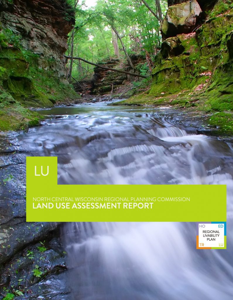
The Land Use Assessment Report is one of four reports prepared as part of the overall Regional Livability Plan effort undertaken by the North Central Wisconsin Regional Planning Commission. Each Assessment Report focuses on the foundational topics of Housing, Economic Development, Transportation, and Land Use. These four reports along with demographic data will form the basis of the overall North Central Wisconsin Regional Livability Plan.
This Assessment Report examines land use on a regional scale. Land Use is a crucial component of livability and provides a basis for the formulation of policy to coordinate a sustainable pattern of development. The existing natural landscape, land use patterns and demographic projections are all examined as they influence future land use and development. Much of the Region has population and housing densities well below the state average, which in turn places more reliance on automobiles to get to and from work, shopping and other activities. In addition, within the ten counties that make up the Region there are 198 towns, 39 villages, 21 cities and 4 tribal nations. All of these communities have an impact on the development of the region.
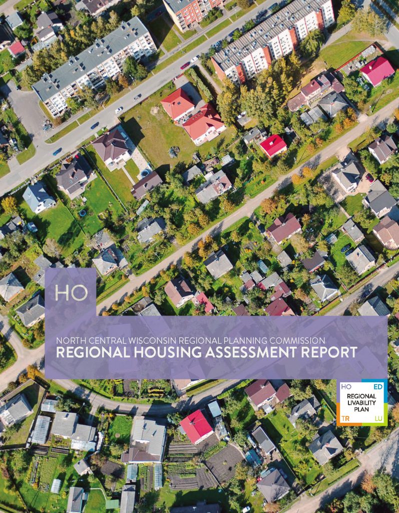
The Housing Assessment Report is one of four reports prepared as part of the overall Regional Livability Plan effort undertaken by the North Central Wisconsin Regional Planning Commission. Each Assessment Report focuses on the foundational topics of Housing, Economic Development, Transportation, and Land Use. These four reports along with demographic data will form the basis of the overall North Central Wisconsin Regional Livability Plan.
Housing is a crucial component of livability. The complex dynamics of the housing market impact future housing development. Understanding this relationship provides a basis for the formulation of policy to coordinate transportation facilities with a sustainable pattern of residential development. The connection between home and work is a fundamental function of any transportation system. Home-work connections should be efficient, reinforce and strengthen community ties, and foster economic development and environmental sustainability. Understanding the factors affecting people’s decisions on meeting their housing needs provides a basis for establishing solid home-work connections in the region.
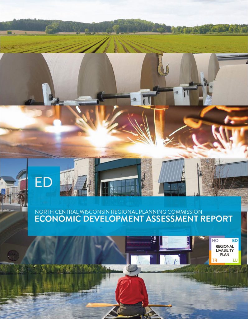
The Economic Development Assessment Report is one of four reports prepared as part of the overall Regional Livability Plan effort undertaken by the North Central Wisconsin Regional Planning Commission. Each of the Assessment Reports focuses on the foundational topics of Housing, Economic Development, Transportation and Land Use. These four reports along with demographic data will form the basis for the overall Regional Livability Plan in North Central Wisconsin.
This Assessment Report examines economic development on a regional scale. The business and employment mix, in part, defines the Region. Economic Development is an important component of any planning effort, be it at the local or regional level. Economic Development is a crucial component of livability and impacted by the housing, transportation, and land use of the Region. In addition to explaining the current population, education, and employment conditions in the Region, this report will also observe projections for the future. Further, this report will study the Region’s economic strengths and weaknesses in the context of industry trends and emerging industry clusters.